42km Pylons, Poplars and Planes

River Colne Cycle Trail
The Colne Valley Cycle Trail
It’s amazing how few people know about the serenity of London’s westernmost boundary - the River Colne. As an easy, almost entirely traffic-free and tree-filled cycling day, the route is hard to beat. The first half of the route uses part of the original HS2 route, built in 1790, which linked London to the Midlands. The second half is altogether different, with singletrack riding through the Western Edgelands, where you duck under the planes taking off from Heathrow and race the cars on the M25. For the latter experience, you often beat the traffic to the next junction, as your way is empty and fast, and theirs is clogged and jammed, which can leave you feeling rather smug. Along the way, there’s wildlife aplenty, fabulous trees and many river folk to chat with, should you wish. There are plenty of pubs along the way, as well as a recommended stop at one of the best cafés in southern England. To be both within as well as without the capital on this tree-lined route, is a delight.
To read the blog relating to this ride, click here
Ride Practicalities
START/FINISH: Watford Junction station/The confluence of the Rivers Colne and Thames DISTANCE: 42km TOTAL ASCENT: 159m TERRAIN AND SURFACES: Traffic-free throughout (other than short sections in Watford and Staines) Canal towpaths, gravelled single track, bridleways. The terrain is best suited to 28mm tyres and more RECOMMENDED CAFÈS/PUBS; Café in the Park, Rickmansworth; NEARBY MAINLINE TRAIN SERVICES: Watford Junction, Rickmansworth, Uxbridge, Staines LINKS TO OTHER RIDES: London to Windsor, Paddington to St. Albans, NCN6, NCN 61, NCN 4, The River Colne Gravel Route
Route Description
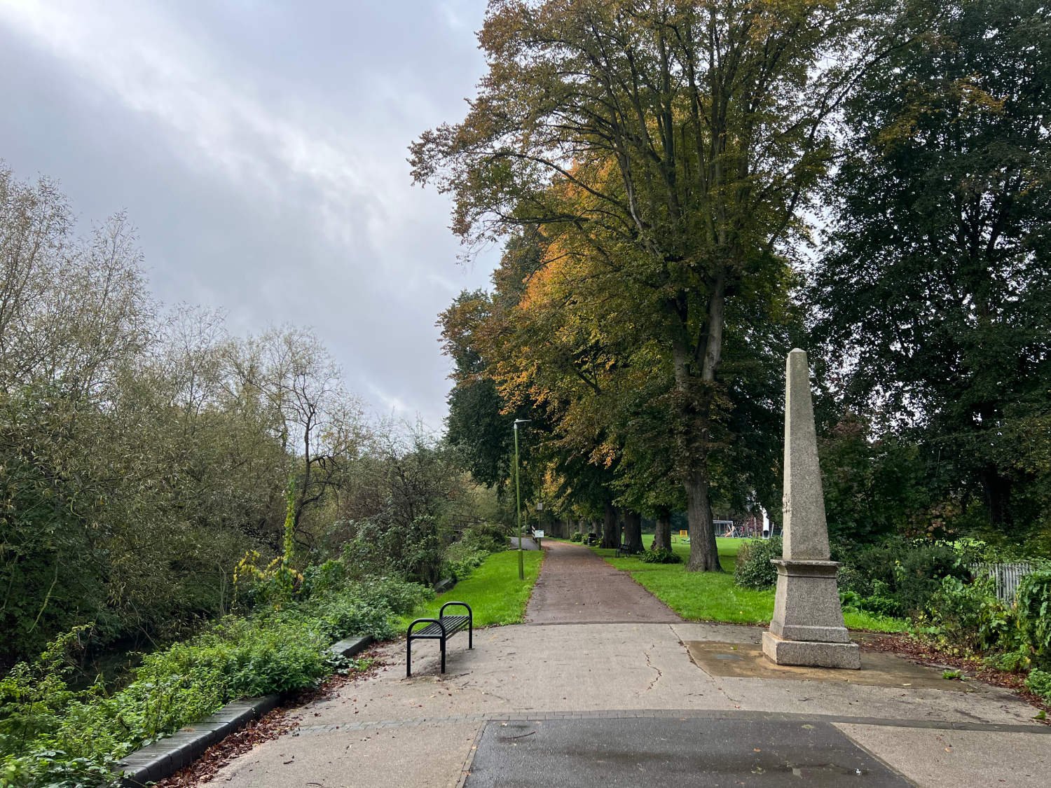
Watford suffers from a lack of any civic desire to give it a heart and soul. Its brick-lined streets are very dreary. However, the route from Watford Junction station is clearly signed - Colne Valley Route and the back roads are quiet. Watford claims to be the world’s biggest printing centre. Once beside the river Colne, the route follows the river passing playing fields, light industry and housing. Under the GWR viaduct, there is a coal-tax obelisk. Since medieval times, tax has been levied on coal by the City of London, and posts were set on a twenty mile radius centred on The General Post Office in St. Martin’s Le Grand.
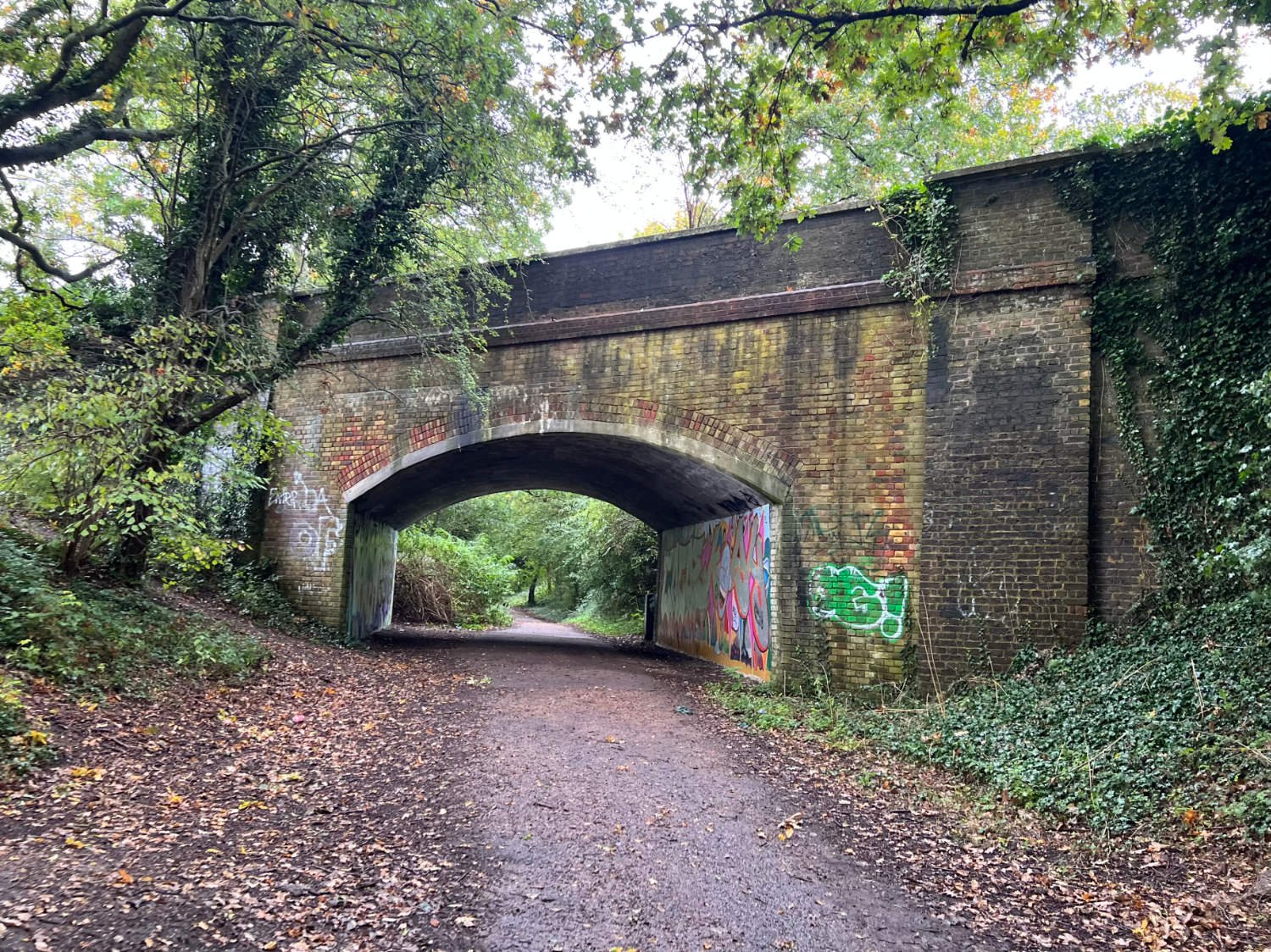
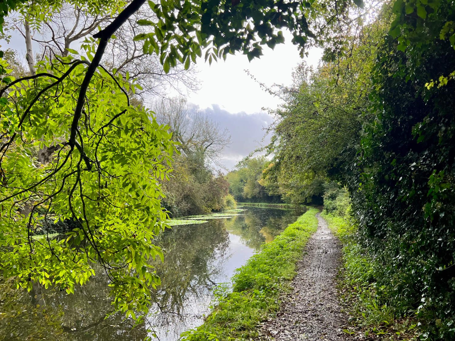
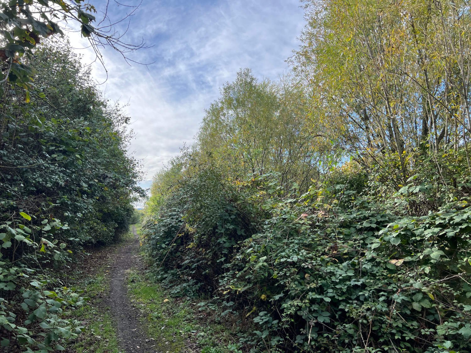
Out of Watford, the ride becomes riverine and delightful. Willows and poplars line the route, reeds rustle in the reed beds. You follow the defunct Ebury Line which was the dream of Robert Grosvenor, 1st Baron Ebury, who in 1860 wished to capitalise on the mania for new railways, by building a line from Watford to Uxbridge. The dream didn’t work. Costs overran, funding was not forthcoming and only a four mile section was built. Four years after its opening, the Official Receiver was called in, yet the line struggled on until its closure in 1952.
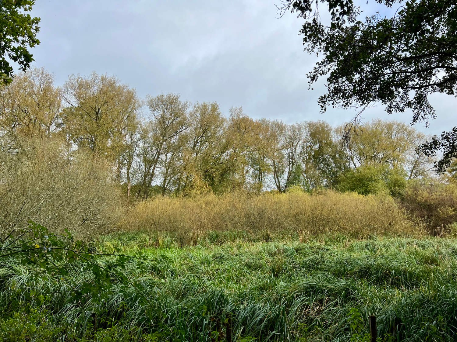
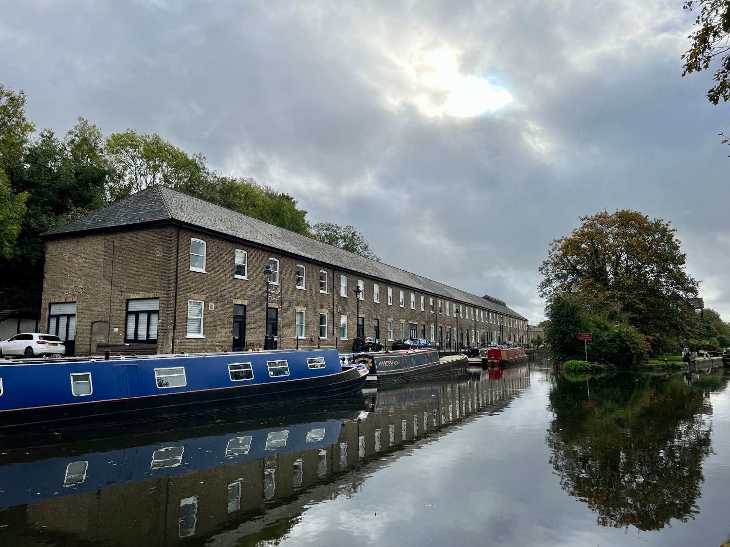
At the end of the railway path in Rickmansworth, you enter a water-world of gravel lakes, rivers and canal. As London grew, the valley was plundered for its clay and gravel. Since then, nature has re-fashioned the industrial scars. Light beams off the water, poplars rustle, waterfowl glide, coots squabble. In winter, the colours of the willows and cornus are spectacular, and summer the area becomes almost Amazonian in its fecundity. Two highlights of this section include the Cafe in the Park - one of the best cafés in the South - and also the HS2 viaduct.

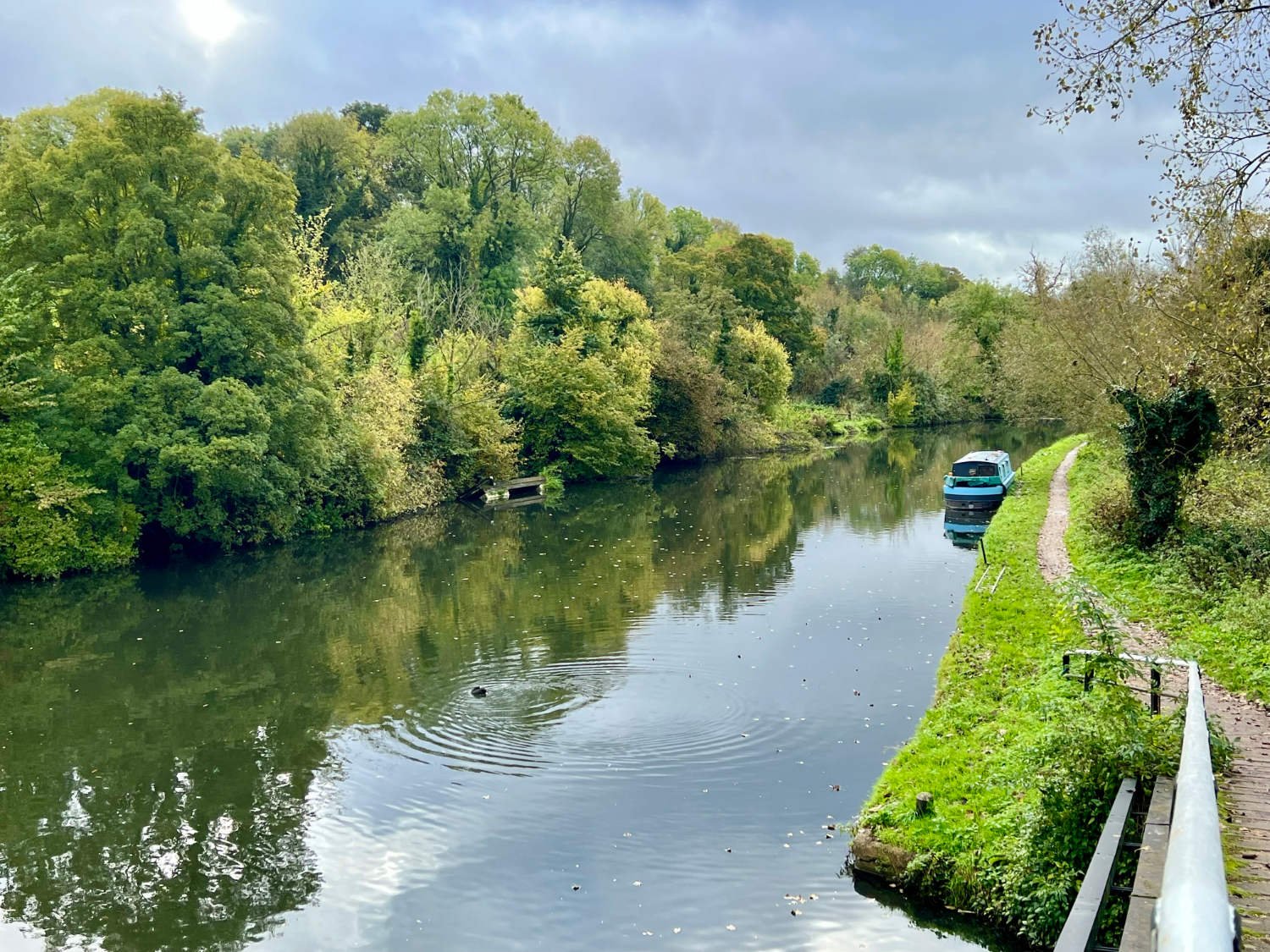
The Grand Union Canal, Colne Valley
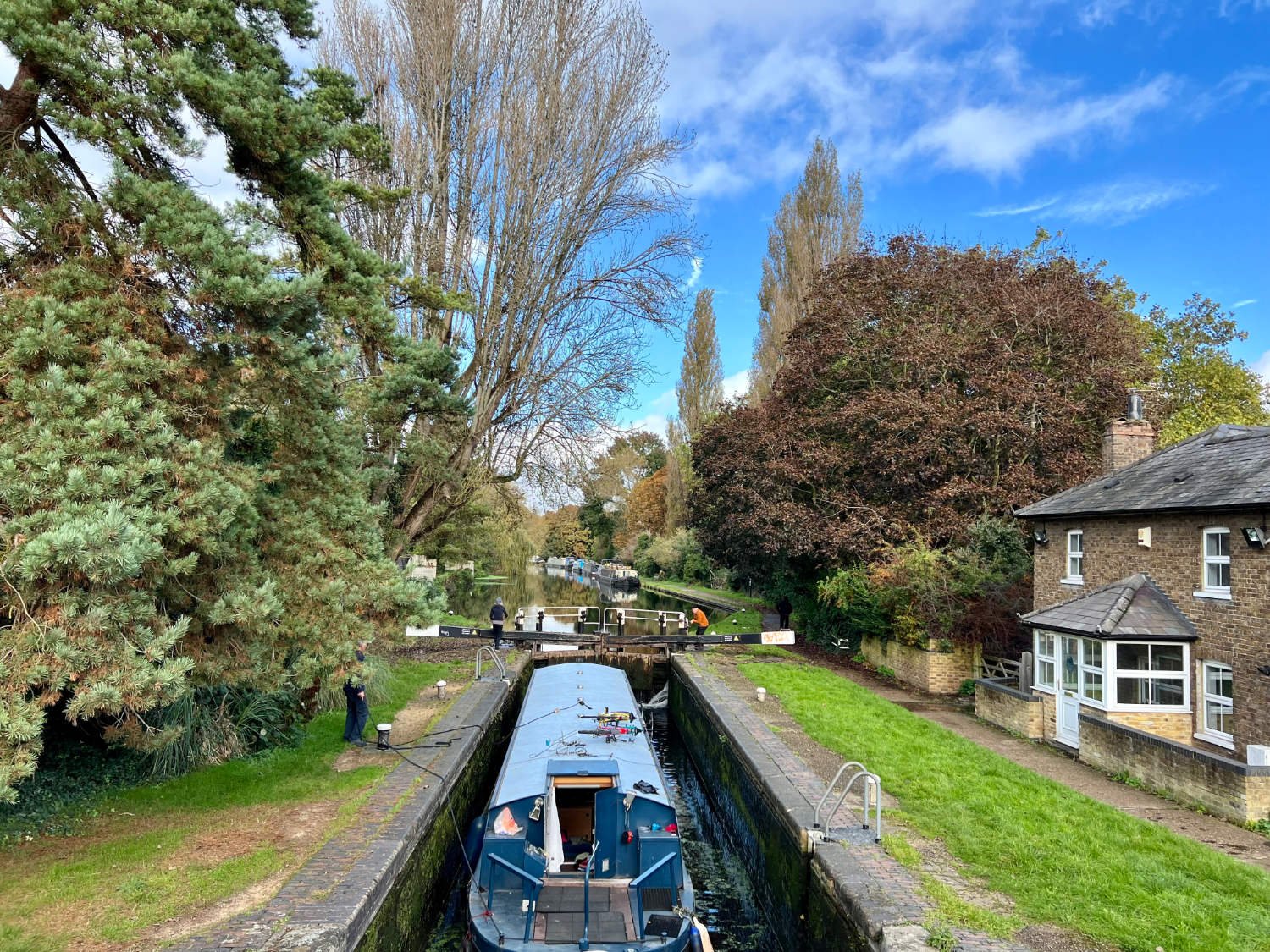
Whatever views you may hold on the HS2, the viaduct which when complete will be the longest railway bridge in the country. It would be easy to decry another industrial assault on the valley, but throughout the human history of these isles, the Colne valley has been used as a transport corridor and industrial zone. When finished the viaduct should be very lovely. It was inspired by the flight of a stone skipping across the water.
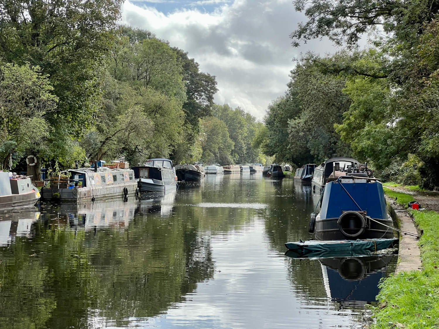
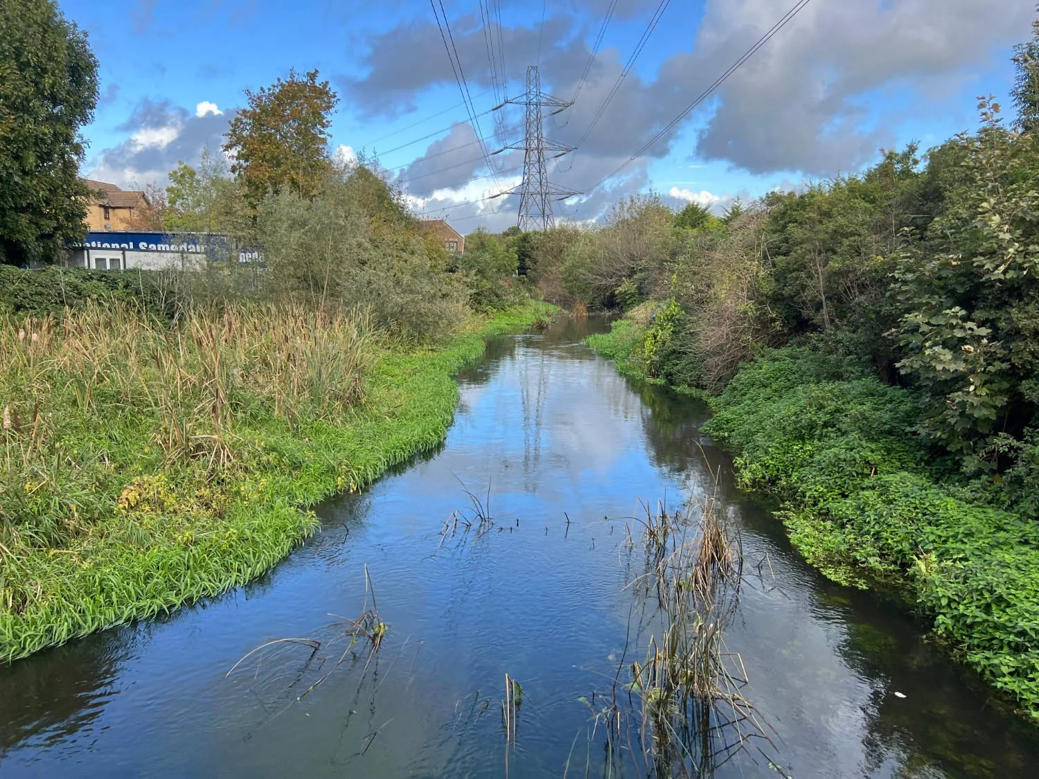
Pedalling on beside the Grand Union Canal (The HS2 of its day), crack willows sway in the breeze and reeds rustle. Coal smoke leans out from the thin metal chimneys of moored canal boats. Piles of scavenged stuff - old chairs, logs, bits of might-be-useful-one-day metal, re-used flower pots, even an old chest of drawers - pile up opposite the moorings. Boat people busy themselves with a repair or two. And there are long stretches where there are no boats and no people, where cycling is a dream. It is easy to forget that for all the nature, the valley has a long industrial past - copper smelting, asbestos manufacture, paper milling, gravel extraction, to name but a few.
On sections of the canal, where the water is still, the surface is covered in a fluorescent green blanket. Visually it’s satisfying in that it is a good foil for the rich greenery of the trees and helps to give the feeling that you are in a rain forest, rather than on West London’s boundary. However, eutrophication as it is called, is deadly. The macrophytes and other water plants feed off the rich nitrogen and phosphate run offs from fields, sewage treatment plants and road run-offs forming such a thick blanket that light and oxygen are prevented from reaching the water beneath the surface. Consequently, all other life dies.

eutrophication
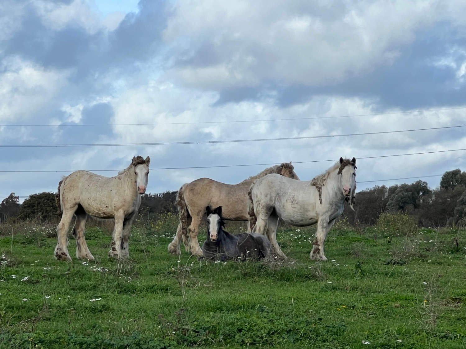
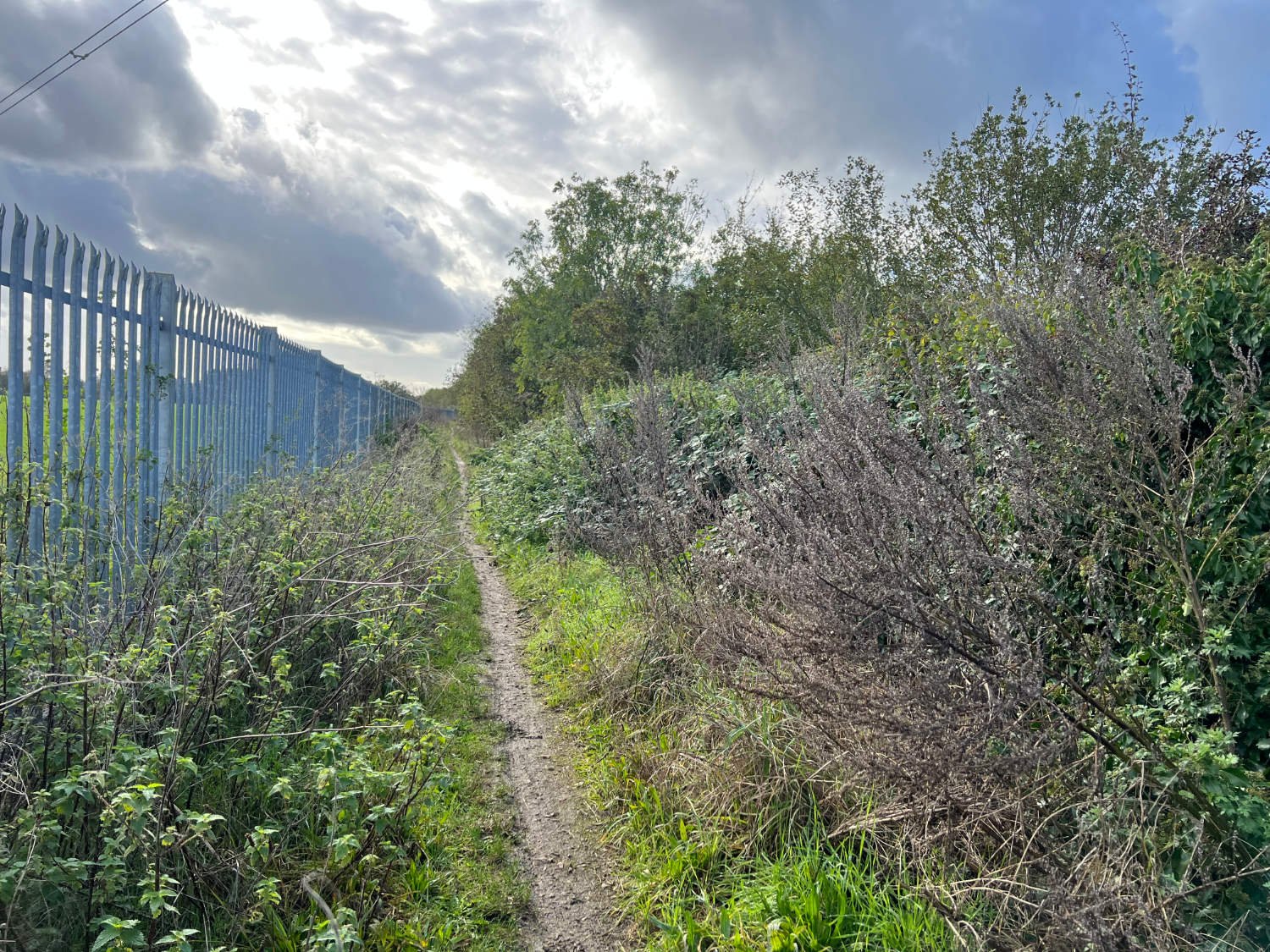
For where the first half of this ride is beauteous and serene, the second half is wild and thrilling. After Colnbrook, you ride under the M4 and a short while later, over the M25. Firstly, you ride on bridleway across Staines Moor, a vast expanse of grass grazed by semi-wild horses, their manes and tails full of burrs. Then, in quick succession, you ride through a tip where lorries disgorge skips of ripped up plasterboards and window frames, and onto two long sections of West London singletrack. Planes from Heathrow struggle noisily into the air and you’ll never have been so close to an undercarriage before.
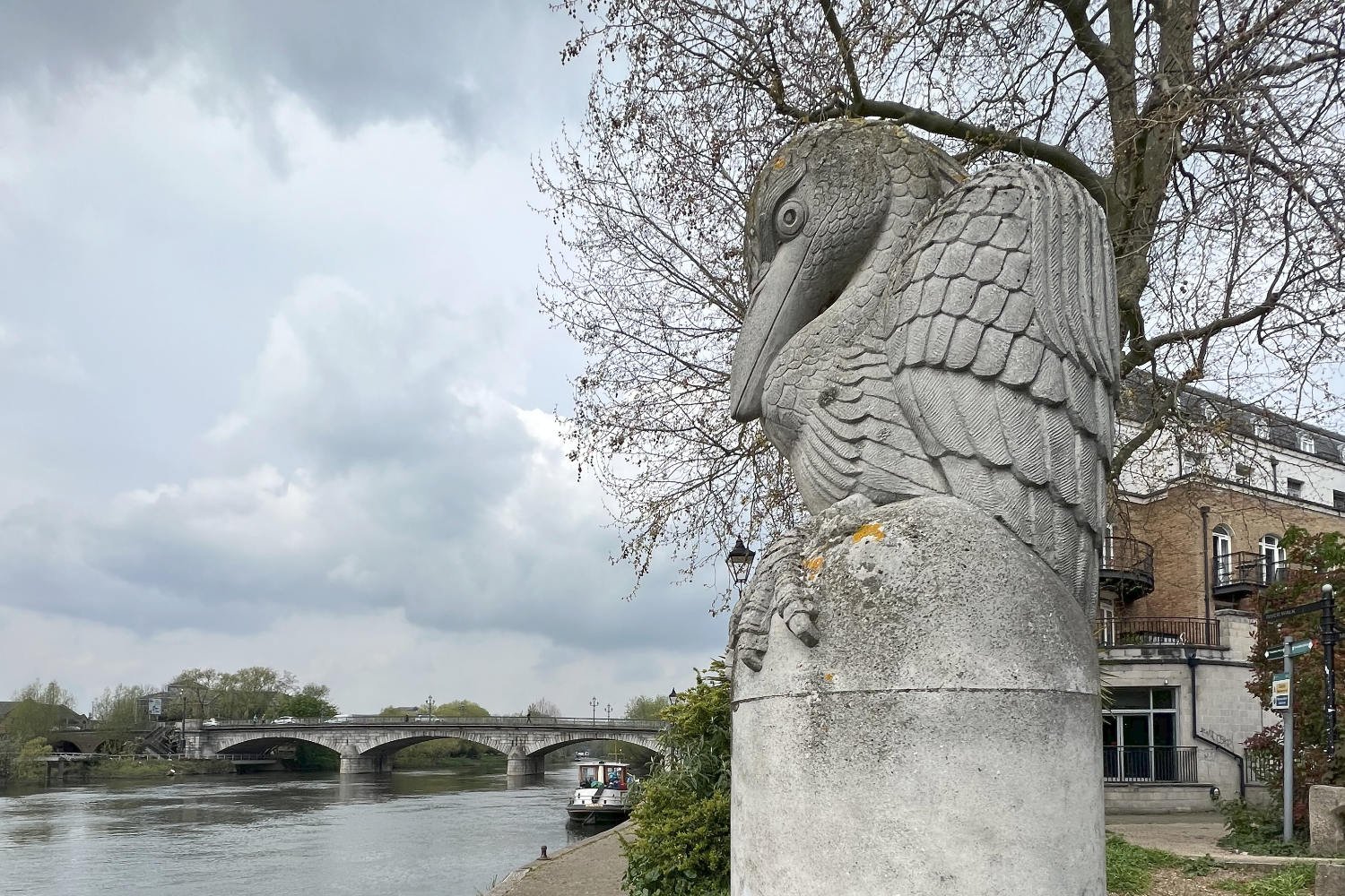
The final run-in to the finish is through the back streets of Staines, which has renamed itself as Staines-on-Thames in an attempt to make the town more appealing. It’s modern and clean, the route through the town centre largely traffic-free. You are welcomed to the finish at the confluence of the Colne and Thames by Simon Buchannan’s River Guardian, a stylised heron on a stone plinth. Nearby is the railway station and the usual town centre collection of cafés and pubs.

The Edgelands of West London
To access the full ride details and free downloadable route map, click here
Every route on this website has been carefully researched as well as ridden. However situations on the ground can change quickly. If you know of changes to this route, or cafes, pubs and the like which you think other cyclists need to know about, feel free to share your thoughts below.
If you enjoyed this guide, why not subscribe to the website so as not to miss other inspirational routes?
wheremywheelsgo.uk is a Feedspot UK Cycling top website