75km Hungerford to Westbury
North Wessex Downs
Ride Overview
A short section today, which allows you to dawdle along and to immerse yourself in the Wessex Downs, an AONB and one of the great treasures of southern England. There are narrow, hedged and barely used country lanes, picturesque villages which still have a pub and a village shop, there are views which would grace any ‘Best of Britain’ photo album. The central section on Salisbury Plain, uses the many military tracks around the MOD areas, including the superlative Imber Range Path. The army have the right to close sections of the path which they do from time to time, so please follow any diversions which they put in place. Better this than coming face to face with a tank, loaded with live ammunition. It’s a day for stocking up in Upavon and eating a long picnic on the Plain, whilst being serenaded by skylarks. The day finishes with a descent into Westbury.
Ride Practicalities
START/FINISH: Hungerford/Westbury or Warminster DISTANCE: 75/90km TOTAL ASCENT: 888/1132m TERRAIN AND SURFACES: There are long sections of gravel riding in the middle part of the route. The tracks are wide and rideable with 28mm+ tyres. Many are byways, so beware of other users including tanks, and be aware that the MOD may remove access due to military manoeuvres. The rest of the route is on small country lanes with very little traffic. ACCOMMODATION:The day is a short one - which leaves plenty of time for enjoying the views. If you’ve camped near Hungerford, you may wish to push onto Warminster to Botany Glamping and Camping, rather than stop at Long River Campsite near Westbury. After Warminster, small campsites become a rare commodity until Knowle Meadow near Illminster. Wild camping on Salisbury Plain Training Area is very strictly prohibited FOOD AND DRINK; Upavon; The Ship MAINLINE TRAIN SERVICES: Hungerford, Westbury and Warminster LINKS TO OTHER RIDES:
To return to stage 2, click here
To go to stage 4, click here
Ride Notes
The name Hungerford is derived from the Anglo-Saxon meaning ‘a ford leading to poor land’. If ever there was irony in a name, then surely it is this - for the route travels over quintessential southern England landscape of rolling downs, chalk streams and lush vales, which whilst is perfect for livestock grazing. It is a rich landscape both agriculturally, historically and militarily. Whatever the season, it’s super-colourful, from the grey-browns of winter to the rampant white froth of spring.
Hungerford was where William III was offered the Crown of England during the Glorious Revolution, whilst staying at the Bear Inn. It is also the town where one of the worst American-style massacres took place in 1987, when Michael Ryan shot and killed sixteen people. Riding down Church Street, you are quickly away from busy high street and the magic of the Downs begins to settle upon you. The roads are narrow and the verges are thick with vegetation. In spring, the hawthorn is as frothy whipped milk.
Hungerford
Arriving in Great Bedwyn is like arriving in an old postcard, with bunting on the old-styled signpost, a village shop, a pub (The Three Tuns) and the flint-walled church where Sir John Seymour, the father of Jane who became Henry VIII’s third and most loved wife, is buried. Rose-covered cottages line the roads. It’s all very timeless and lovely.
From the village, the route begins the long climb up to Grafton Down. The lanes are traffic-quiet and are often filled with cyclists. Red kites spiral in the air, goldfinches and chaffinches dart from one hawthorn bush to the next. The restored Wilton Windmill decorates the near horizon. The Romans marched along the road on their way from Winchester to Cirencester and nearby in a field grazed by sheep, the Vikings defeated Æthelred of Wessex in 871.
The riding continues along lanes with long free-wheels here and short punchy climbs there. At Everleigh, the off-road riding begins anew on Salisbury Plain which is the largest Chalk Plateau in England. The plain is a treasure trove of wildlife and archeological sites, many dating back to mankind’s early history. It is estimated that there are over 2,500 archeological sites on the plain, including Stonehenge. The plain has also been a military training area since 1898. There are plentiful warnings about tanks crossing, about not picking up any ordinance that you might find. The soundscape is as much skylarks as small arms fire. That said the riding on the unpaved military roads is joyous. The views across the plain are immense, and because much of the area is off-limits (other than the by-ways along which you ride), the plain is one of the most nature diverse landscapes in the whole of Britain. The route on the map takes you through a military area on a by-way. However, should this be closed due to a training exercise, follow the diversion signs put up by the army.
Salisbury Plain
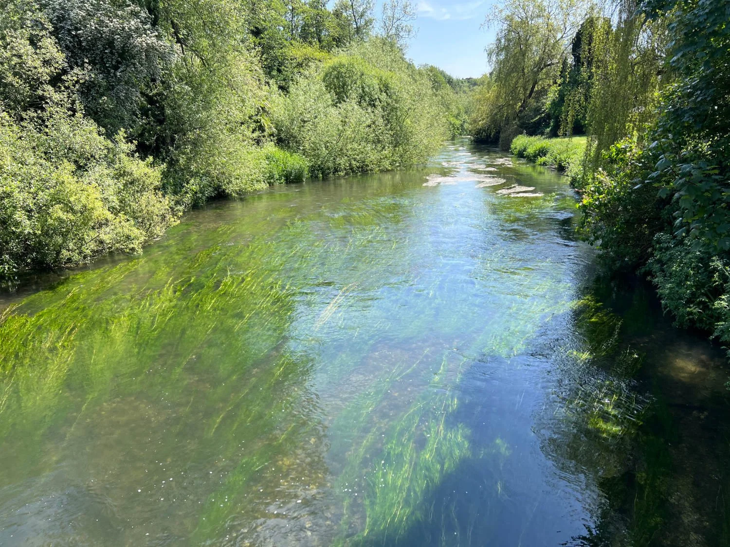
The very pretty Upavon has two pubs, a Norman church, and a village shop. The Avon, a rare chalk stream passes through it. Chalk streams are some of the rarest habitats in the world with only an estimated 200 chalk streams on earth, and 85% of them are in Southern England. The water is unbelievably clear and trout are often seen, moving you perhaps to agree with Sir John Betjeman who wrote, ‘when trout wave lazily in the clear chalk streams, Glory was in me’. The banks are filled with flag iris and water crowfoot, mayflies hover and kingfishers are not uncommon. Linger awhile on the bridge, for there is magic in the water! A suggestion is to stock up in the village shop at Upavon and take your picnic back up onto Salisbury Plain.
The river Avon
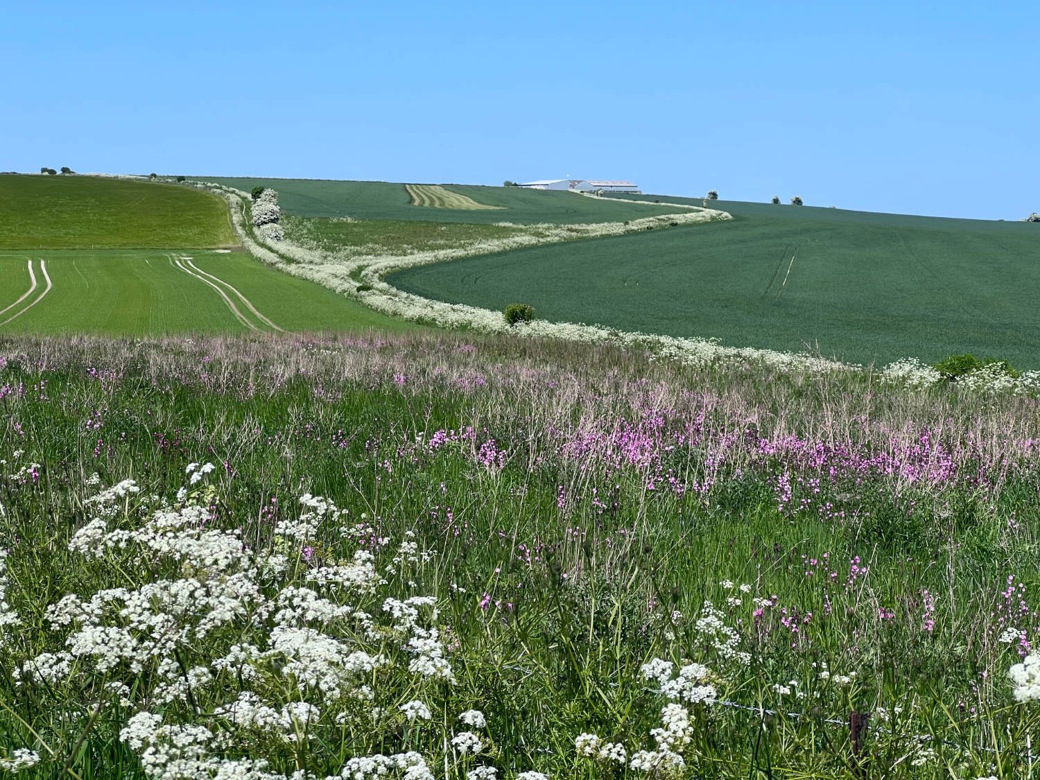
After refreshing your soul and body in Upavon, there is another climb back up to the plain, where you join the Imber Range Trail, another magnificent gravel section. Imber itself, is a deserted village in the heart of the plain by the military, (other than for a few days a year when it’s open to the public) This section of the route has to be one of the finest gravel rides in the land. There are extensive views over flower rich pastures, above which invisible skylarks chorus.
For all the tranquility and rich natural diversity of this route, it has a violent history. You’ve ridden past Viking battlefield, on the Roman occupier’s roads and alongside the present day military firing live rounds. The famous White Horse, carved into the chalky hillside was created in the 1600s to commemorate another bloody battle, that of Ethandun in 878. Above it is Bratton Camp, an Iron Age hill fort built over 2,000 years ago, itself built on the site was used by Neolithic peoples over 3,000 years earlier. It’s a popular place and there are carparks and ice-cream vans. To see the horse from above, you need to park the bike and walk along a footpath for some 100m or so.
The Imber Range Trail
From the White Horse, there is a glorious descent off the chalk downs, to Long River Farm campsite, where you may choose to stay, or there’s a reasoable choice of B and B accommodation, near to the town. Wild camping on Salisbury Plain Training Area is strictly prohibited.
The lush grasslands of the Downs


