175km The Suffolk Coast
The Stour estuary
Shingle, sea and Sizewell B
Ride overview
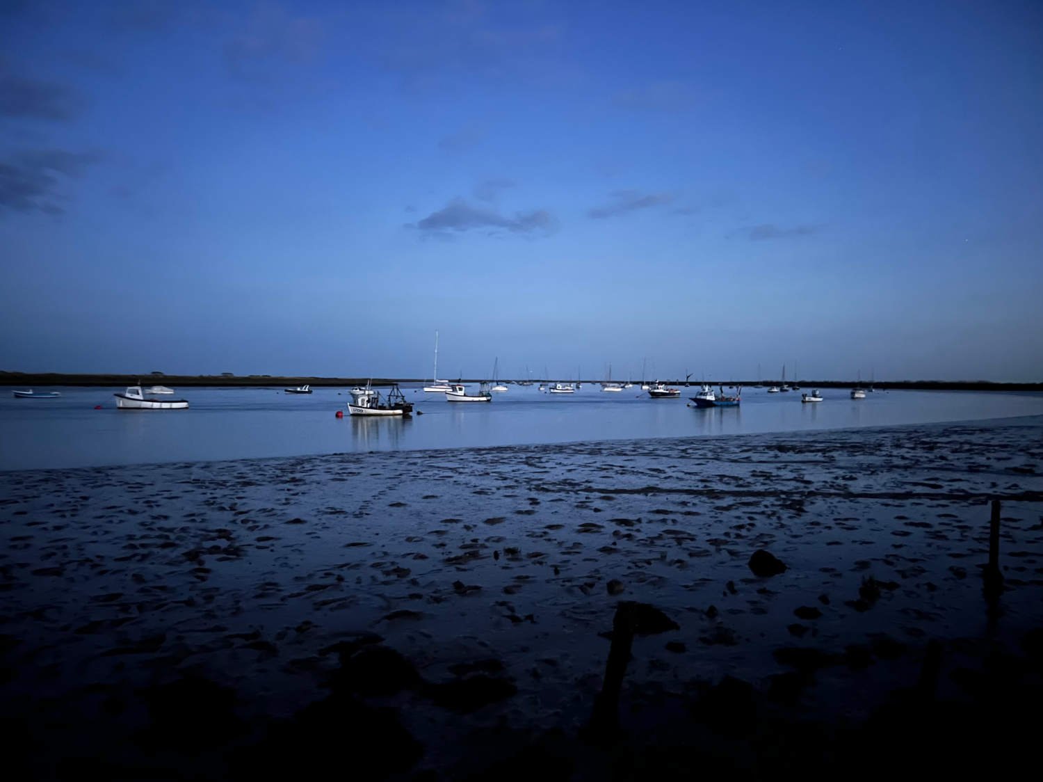
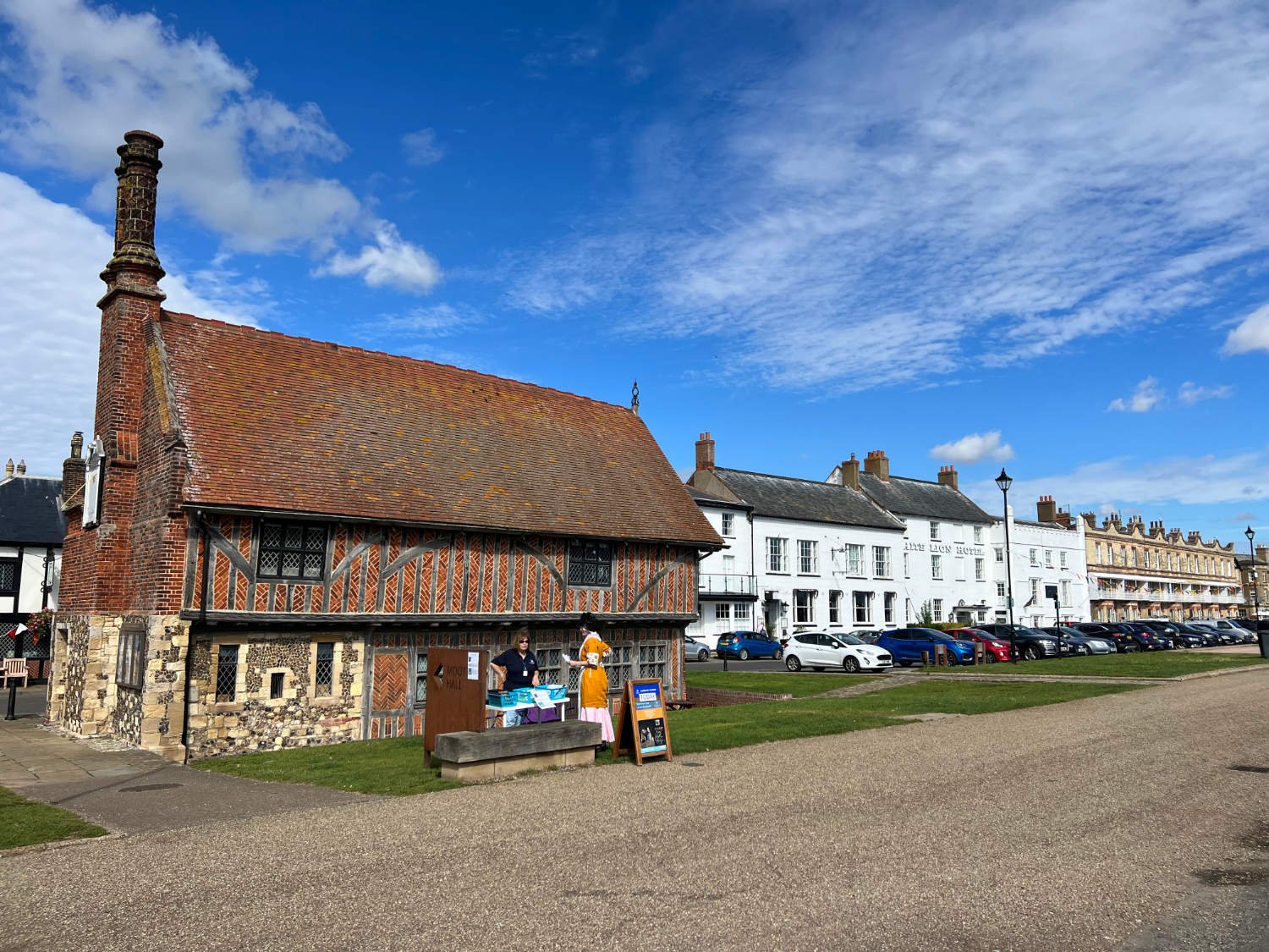
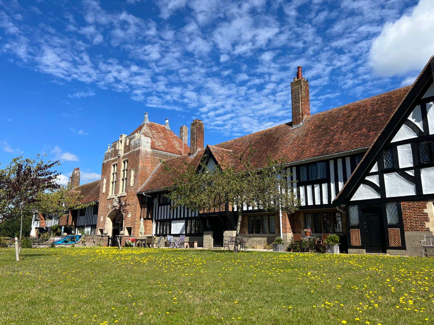
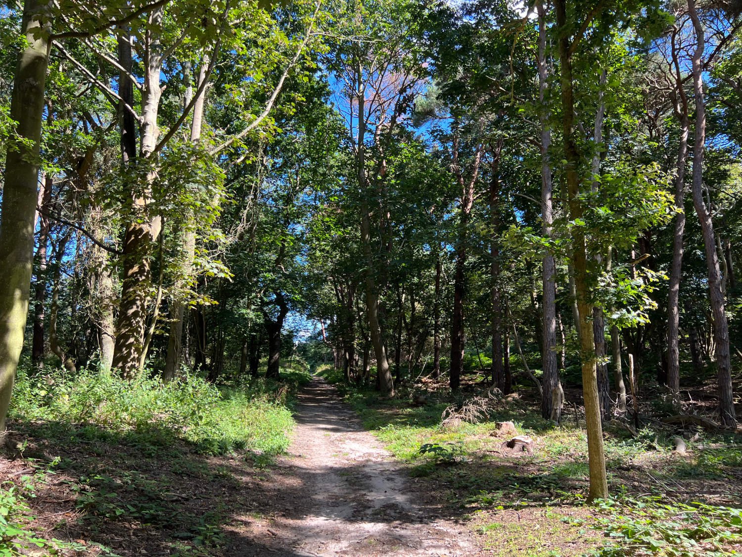
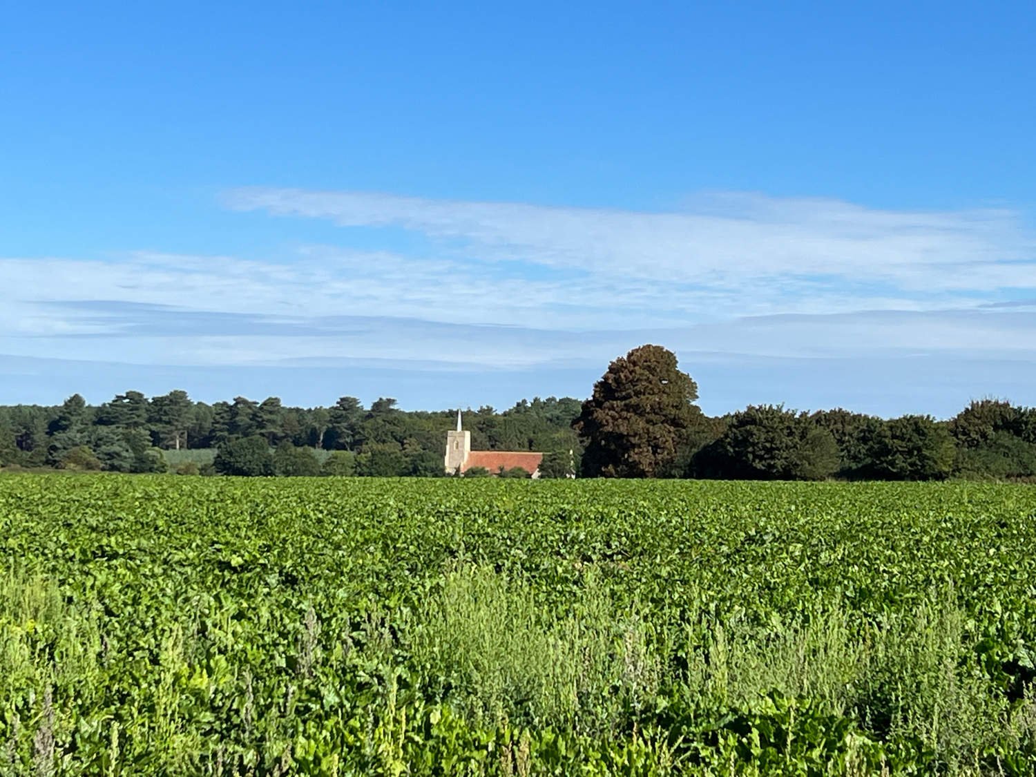
The Suffolk coast is where carefree childhood dreams are made, where there’s gentle adventure for all ages, and where fresh air and freedom mix on the by-ways and sandy paths. It is a ride through a fast disappearing Britain; the coast is being eroded at around four metres a year; the villages of Easton Bavents, Dunwich a thriving Medieval port on a par with London, and Covehithe have all been ceded to the ocean’s waves. What is left - but not for long - is a gentle England of heath and beach and sea. The small towns seem to be a world away from the hypertensions of technology and fast-paced life. On the Suffolk coast small passenger ferries transport travellers across estuaries, children still fish for crabs, old wooden beach shacks sell home-smoked fish. The riding is on sand-covered lanes where cars are rare, and on by-ways and bridlepaths which angle around fields and weave around creeks and salt-marsh.
Ride Practicalities
START/FINISH: Manningtree/Lowestoft DISTANCE: 200km TOTAL ASCENT: 1250m TERRAIN AND SURFACES: Narrow lanes, often covered in sand and loose gravel, sandy bridleways, forest tracks. RECOMMENDED CAFÈS/PUBS; Manningtree; The Whistle’s Bakery, Cafe Rio, Felixstowe Ferry; The Ferry Boat Inn, Orford; The King’s Arms, The Crown and Castle Hotel, Orford: Pump Street Bakery, Aldeburgh; Aldeburgh Fish and Chips, The Cross Keys, Walberswick; The Bell Inn, Southwold; The Harbour Inn CAMPING: Nether Hall Farm, (42km) Wild camping on the Alde Estuary. There are no small campsites (tents only) along this section, but whilst illegal, discreet wild camping on the Heaths and beside the estuaries may be an option FERRIES; The Butley Ferry runs only on summer weekends ACCOMMODATION: Orford; The King’s Arms, The Crown and Castle Hotel NEARBY MAINLINE TRAIN SERVICES: Harwich, Manningtree, Ipswich, Lowestoft LINKS TO OTHER RIDES: The Thames Estuary Cycle Way, NCN 1, The Norfolk Coast Cycleway
A gravel/adventure bike with tyres over 30mm wide is best for this route
Orford Ness (April to October, advance booking essential)
Ride Notes.
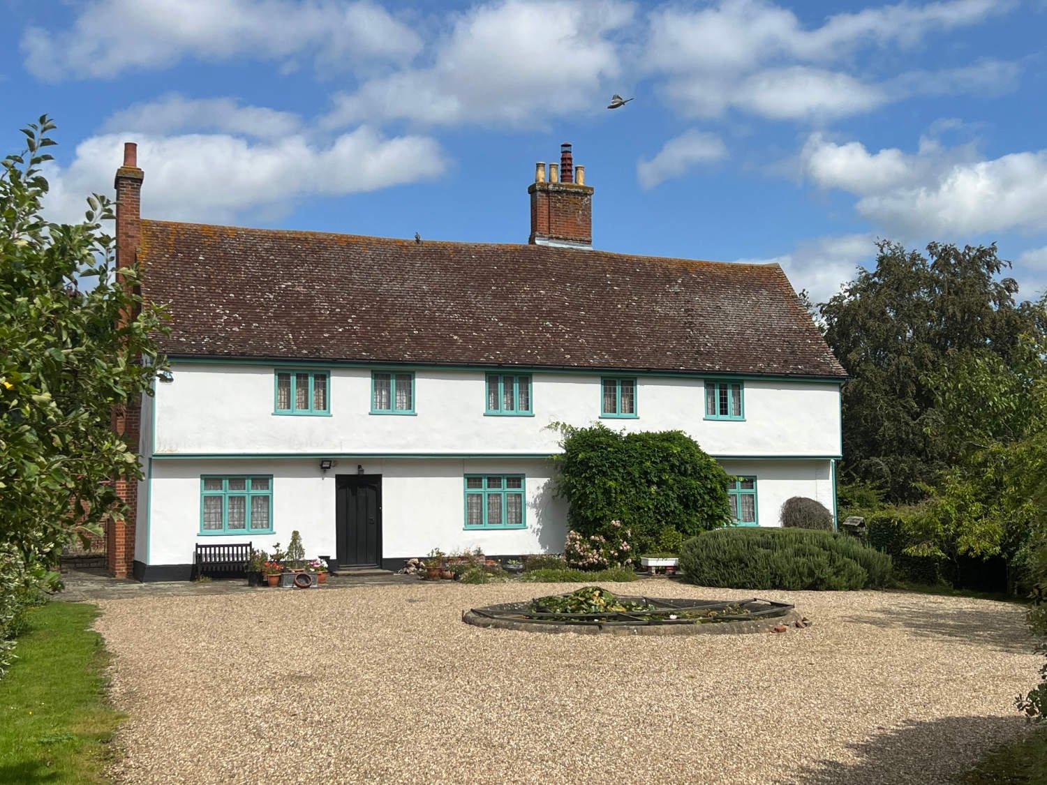
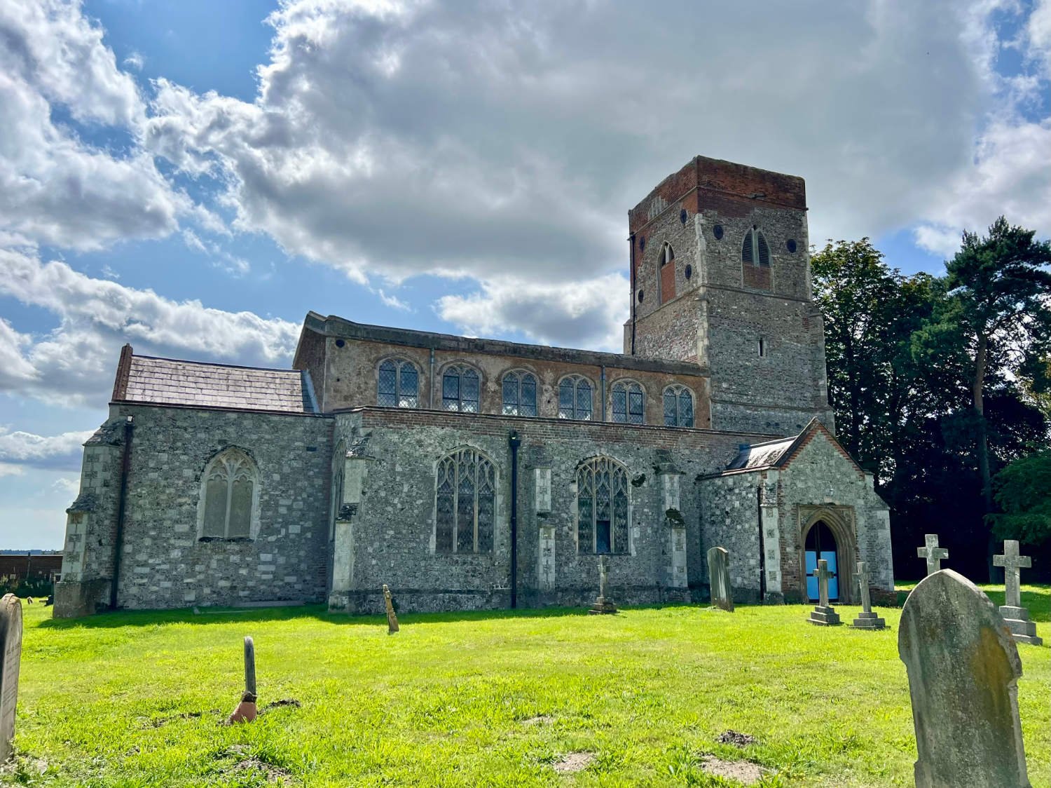
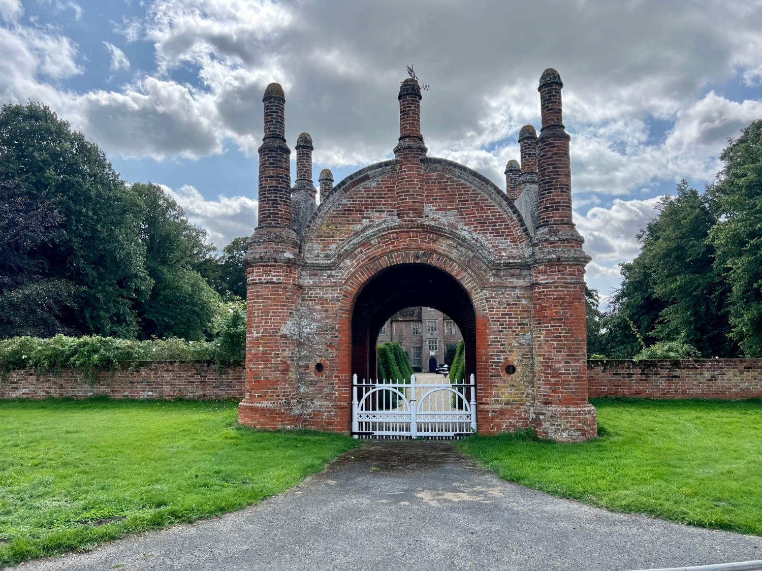
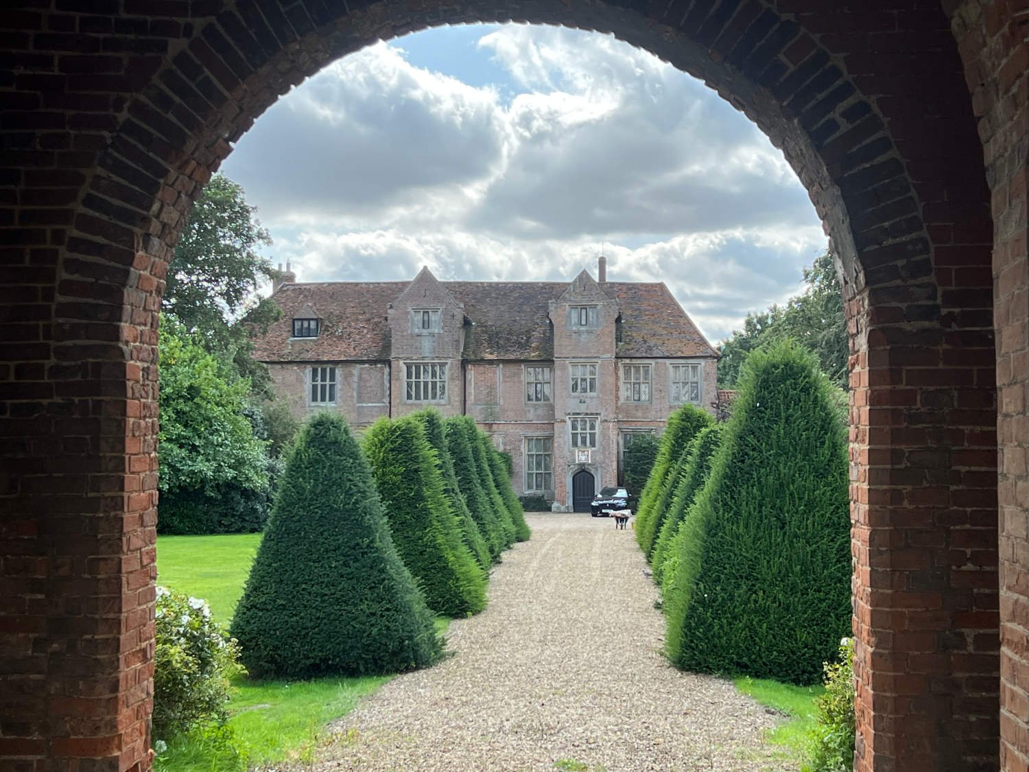
From Manningtree, still famed for it’s ‘witches’ those poorly abused women who were condemned on the whims of the ‘Witch Finder General’, Matthew Hopkins, (there’s a plaque bearing their names beside the spot where they had been burnt alive), you head on a cyclepath across the river Stour. The route runs around around the Shotley peninsula immortalised by Arthur Ransome in ‘We didn’t mean to go to Sea’. There are stony bridleways, narrow and quiet lanes to ride on. The hedgerows are busy with fruit and birds, the gardens flower-filled and the fields full of grains and beet. Fint walled churches, a grand estate whose gateway is in the shape of a pepper-pot. Toothpaste-white sails of yachts sail on the Stour. The country rolls gently, like and wavelet on the estuary.
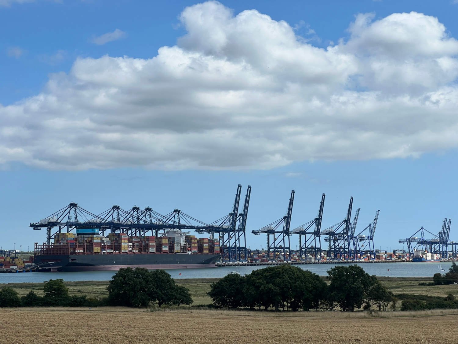
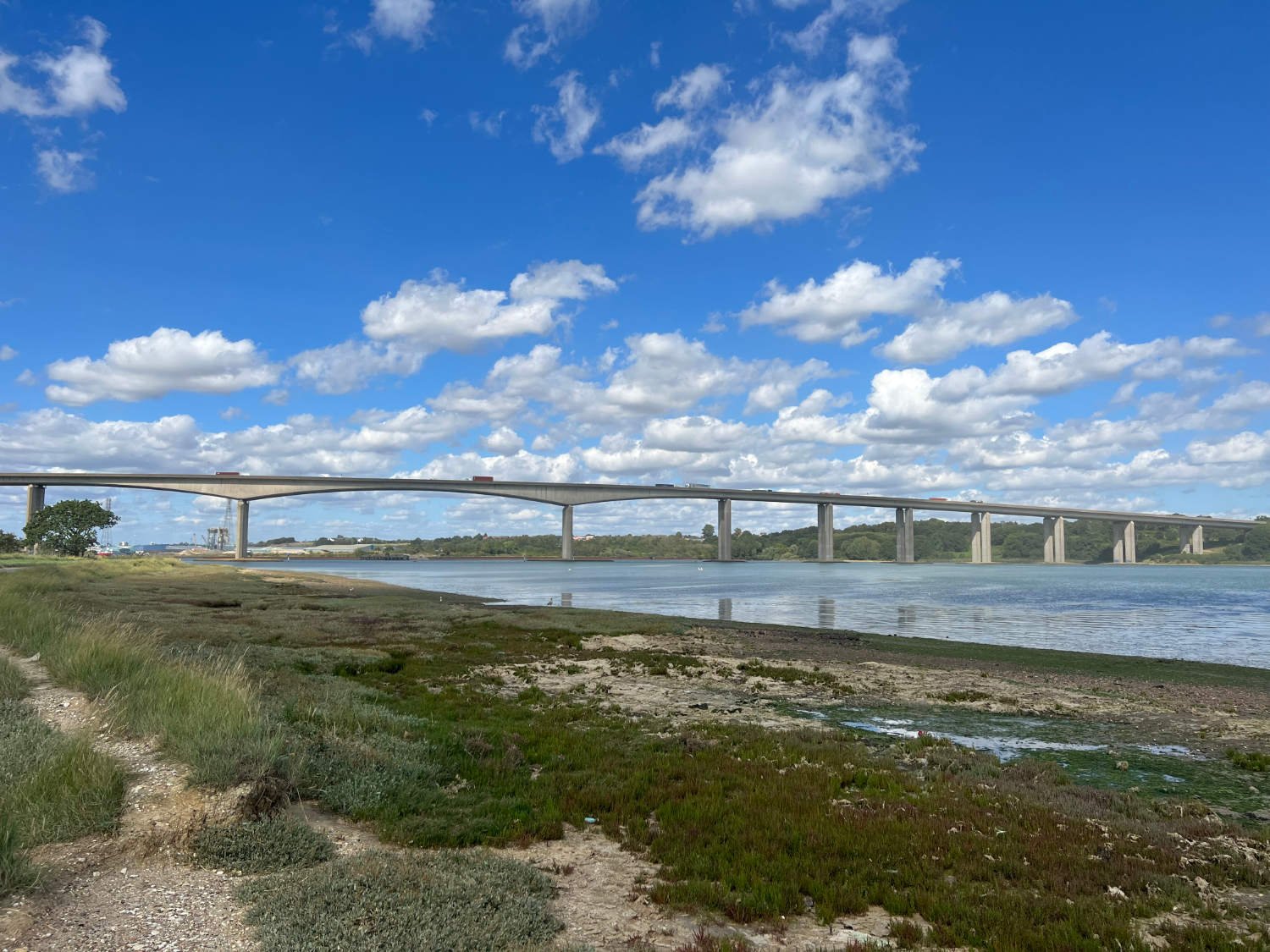
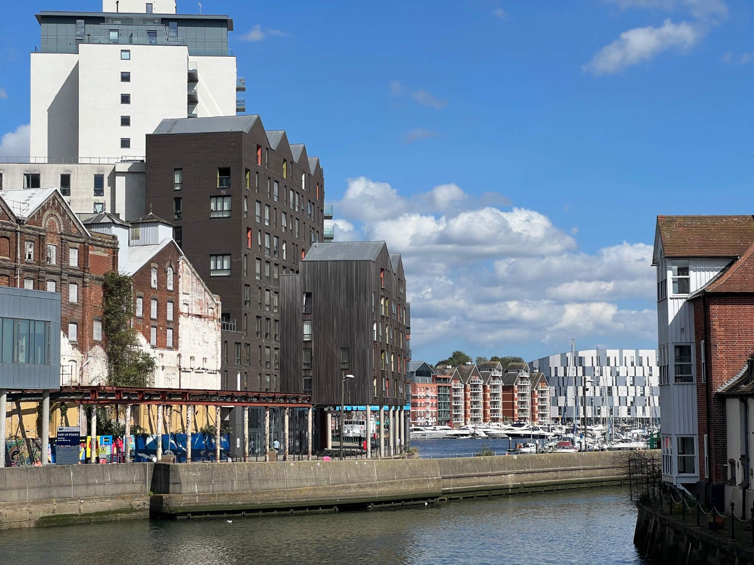
Ipswich is unavoidable. It may be ancient - it was a Saxon port - but lacks an aesthetic appeal. Its outskirts are dreary and the road into it is busy. But bear with the route, for on the outskirts of Felixstowe - Britain’s busiest port - you head back into countryside and take the first ferry of several passenger ferries.
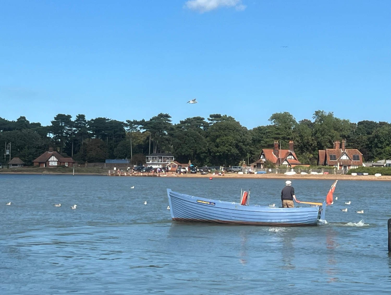
In summer the river Debden is a reliquary of a forgotten time; children - and their parents - go crabbing, dogs bathe and bark, motorboats chug and pints are drunk in the The Ferry Inn by cheery beer-bellied men. Across the water, Bawdsey Manor, was home for a Victorian financier until it was requisitioned by the RAF in 1936 . Here, in secret, Robert Watson-Watt invented and developed the radar, without which the Battle of Britain might never have been won.
The arrival of the Debden ferry
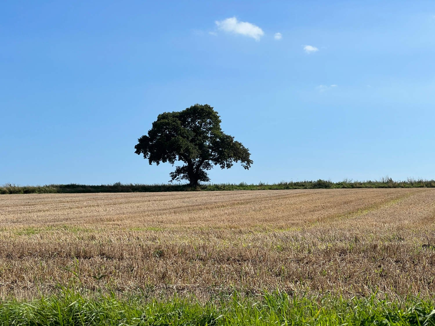
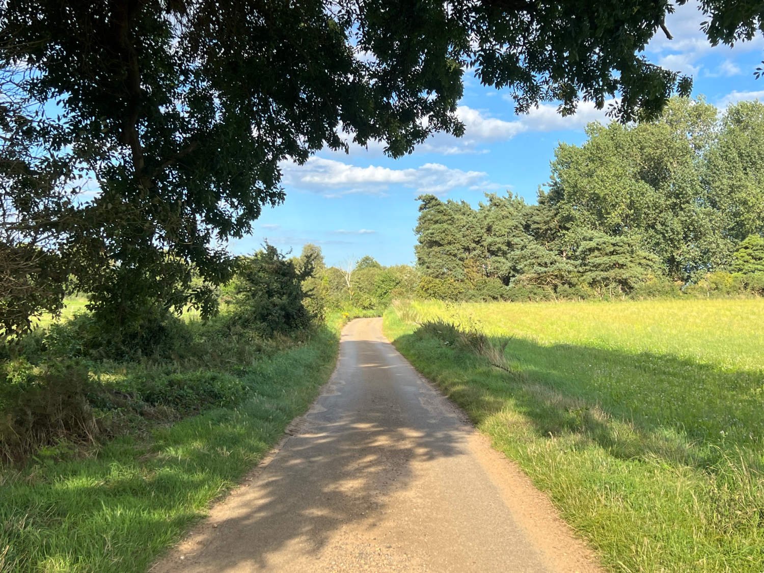
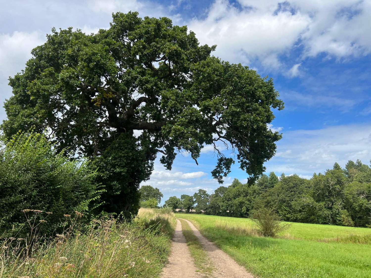
Once across the river, the ride settles into a routine of gravelly byways and bridleways, sandy lanes and gentle countryside. In summer, sheep graze the marshes, fluffy clouds roll across the sky, oaks trees are stationed along the roads. It’s unchallenging pedalling; no steep hills, no long gradients, just pockets of sand on the lanes to make you squeal as the bike slithers through them. You may choose to end the day ends at Orford, one of the loveliest of all Suffolk villages; roses hug red weathered brick walls. In the village square, there’s a bakery, a chocolate shop, two pubs and a hotel is regarded as one of the best Small Hotel in Britain.
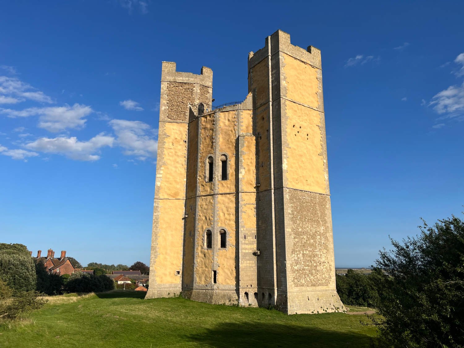
Across from the river from Orford quay is a rare and mysterious world; the long tendril of shingle is the longest vegetative spit in Europe. This semi-desert was for most of the twentieth century, the most secret place in Britain. The MoD took it over in the early years of the twentieth century and it was here where Robert Watson-Watt’s radar was tested. Here too, the components of atomic weapons were developed. The state has relinquished its secret shingle spit, and the spit has been classified as one of the rarest natural habitats in the world. Hares cavort across the lichen covered stones, linnets chorus from the gorse and swallows nest in the gaunt pagodas which are purposely being left to rust and rot. Access is limited, but tickets can be booked through the National Trust.
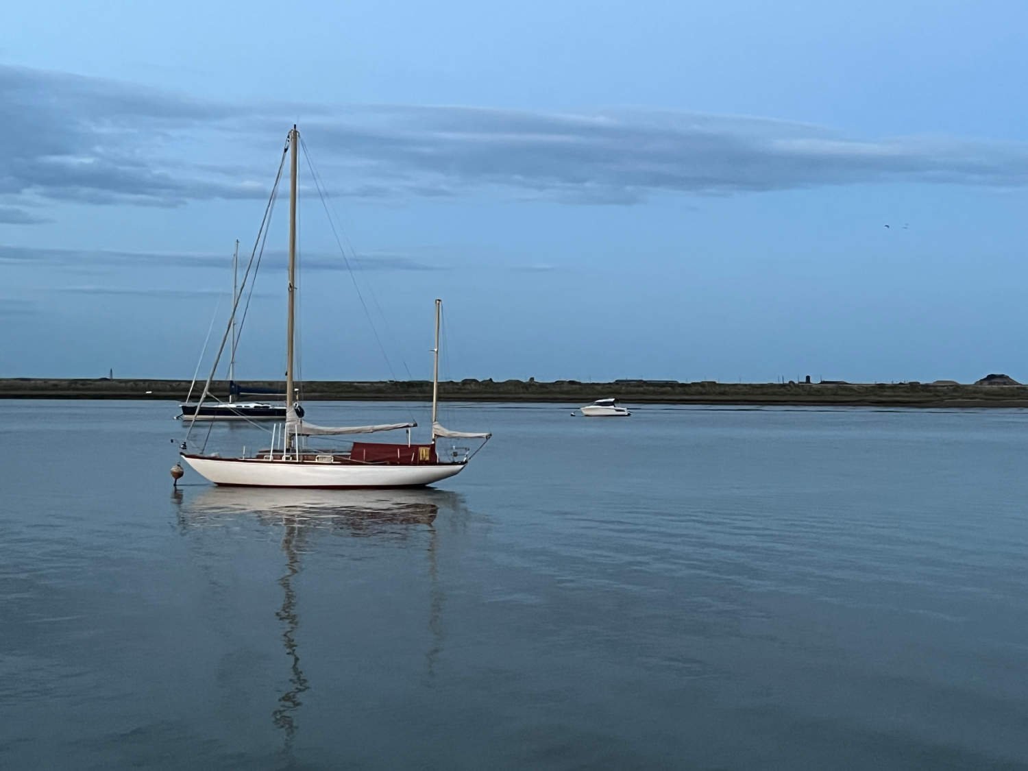
In order to get around the Alde estuary, there’s a short shlep inland along quiet, sandy lanes through Benjamin Britten country. You ride past Snape Maltings which hosts many Britten events and concerts and after a quick 5km of busy-ish road riding, you arrive in Aldeburgh.
Alde Estuary
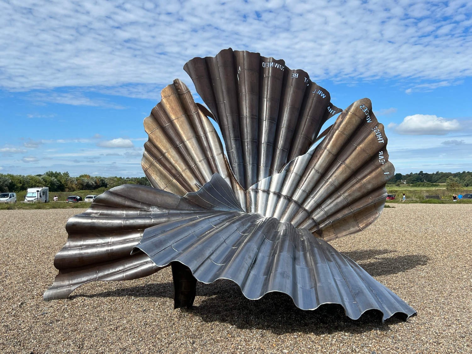
Aldeburgh - distinctive, charming and whimsical - is the sort of place which is unwise to by-pass. Despite its tourist appeal it still looks to the sea for its identity - the shoreline is full of black huts selling fresh or smoked fish and the Aldeburgh Fish and Chip Shop is regularly voted as one of the best in the country. If you’re not careful, what was meant to be a short coffee stop, can drift into several hours of browsing in the renowned book shop, eating and drinking in the many independent cafés, having lunch in one of the pubs, and snoozing on the beach.
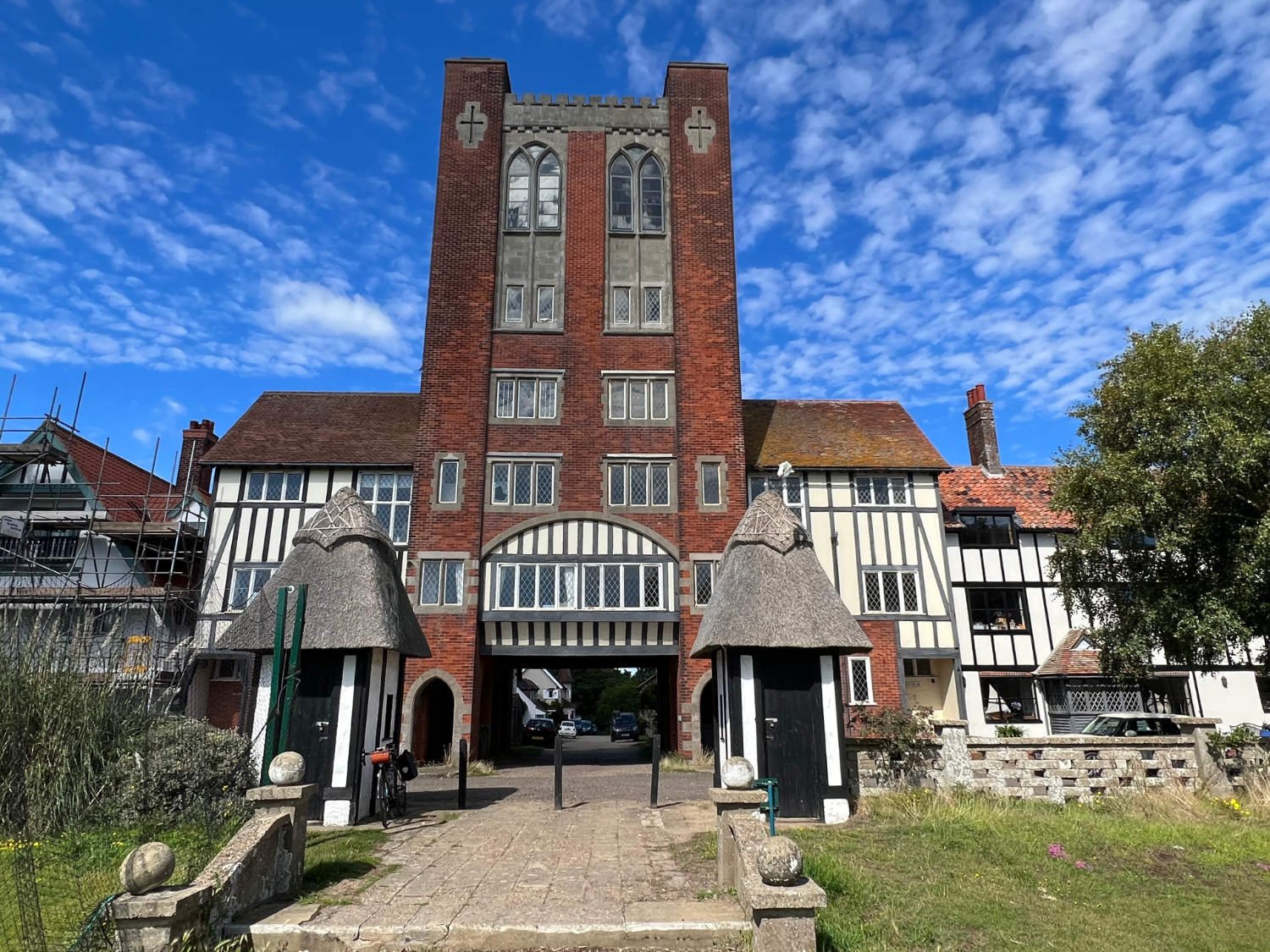
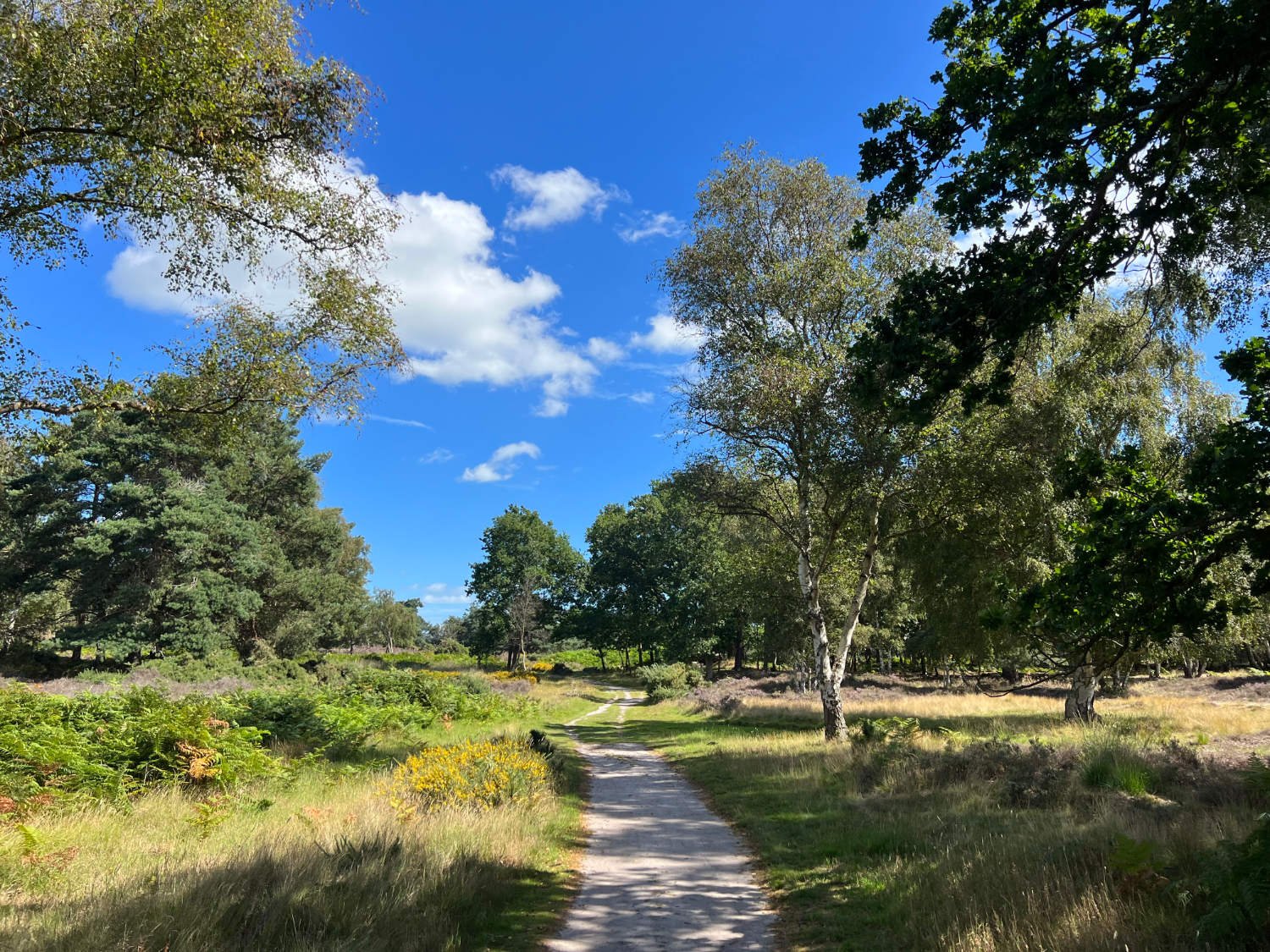
From Aldeburgh, the riding is mainly on sand/gravel bridleways and byways across the heathland. Highlights come thick and fast; three kilometres up the coast is Thorpeness. Glencairn Stuart Ogilvie, whose father had made a fortune on the railways, transformed, a small fishing hamlet into an exclusive holiday village, where many homes were built in a pastiche of Jacobean styles. It’s both a bizarre and exciting place. The most notable feature is the ‘House in the Clouds’, built originally in 1923 to disguise a water tower. Once mains water arrived, it was transformed into a huge games room with superb views across The Meare.
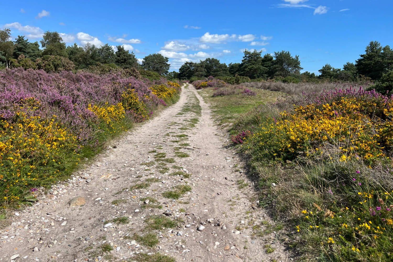
What happens next is one of the joys of the coast. You bump and slither along sandy byways, passing Sizewell B Nuclear Power Station and over heathlands which is August are filled with the deep, sweet smell of heather. Pines, birch and rare birds provide sights and sounds. People, even in the height of summer, are rare. The mix of fresh water reedbeds, grazing marshlands, sandy heaths and saline lagoons attract a wide variety of wildlife - booming bitterns, siskins, goldcrests crossbills and woodlarks can be heard. Yellow-horned poppy, heather and gorse cover the ground under huge Suffolk skies.
In 1086, over 3,000 people lived in Dunwich. It’s port rivalled London. Today, the hungry sea has only left a few scraps of a village; a line of cottages, a pub and a beach cafe. It is said that the old church bells can be heard in the winter storms, ringing from the seabed. The ride continues on small roads and forest bridleways to Walberswick.
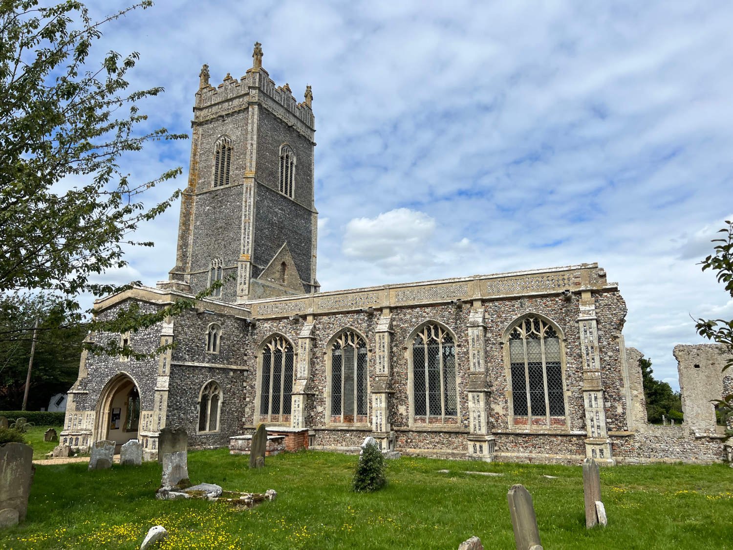
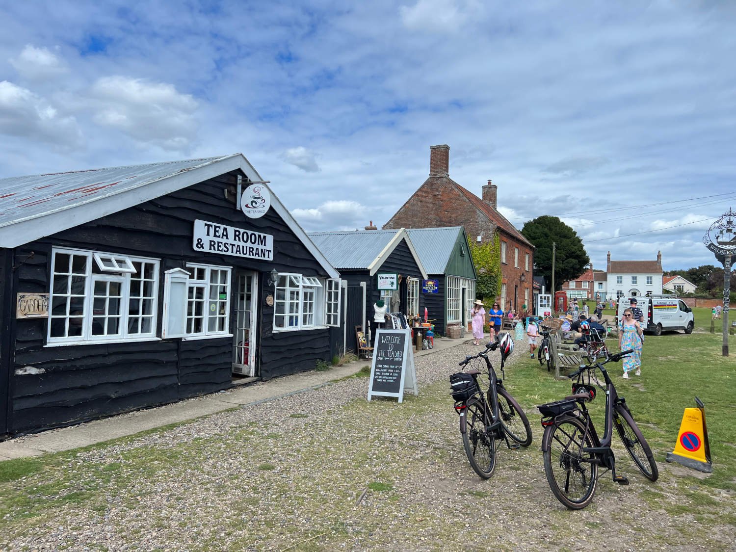
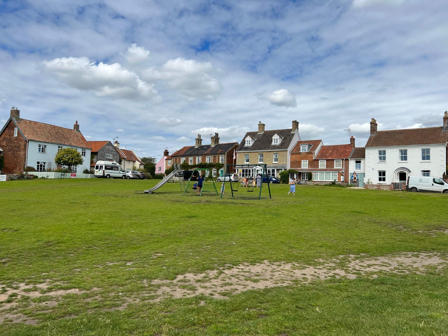
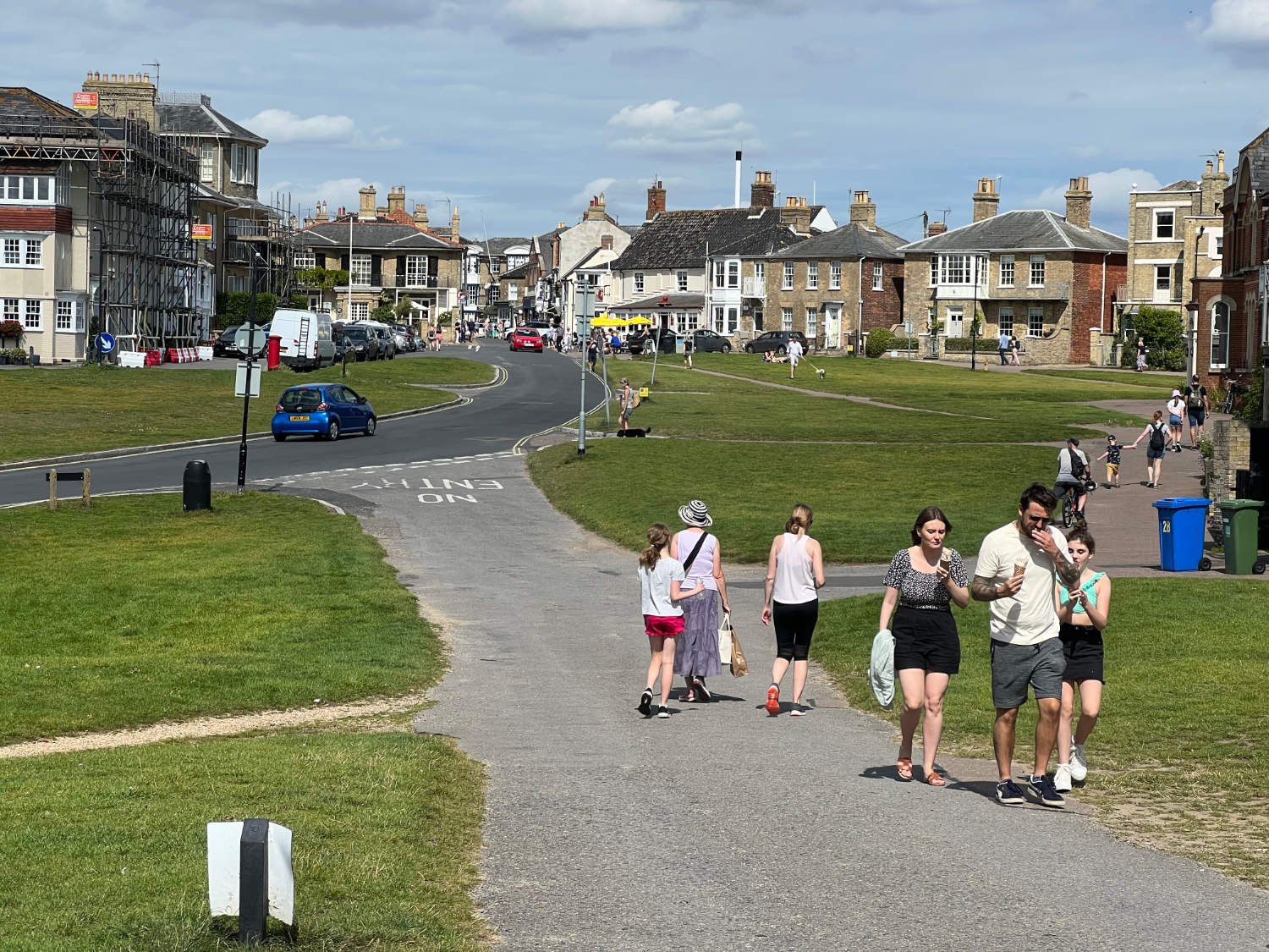
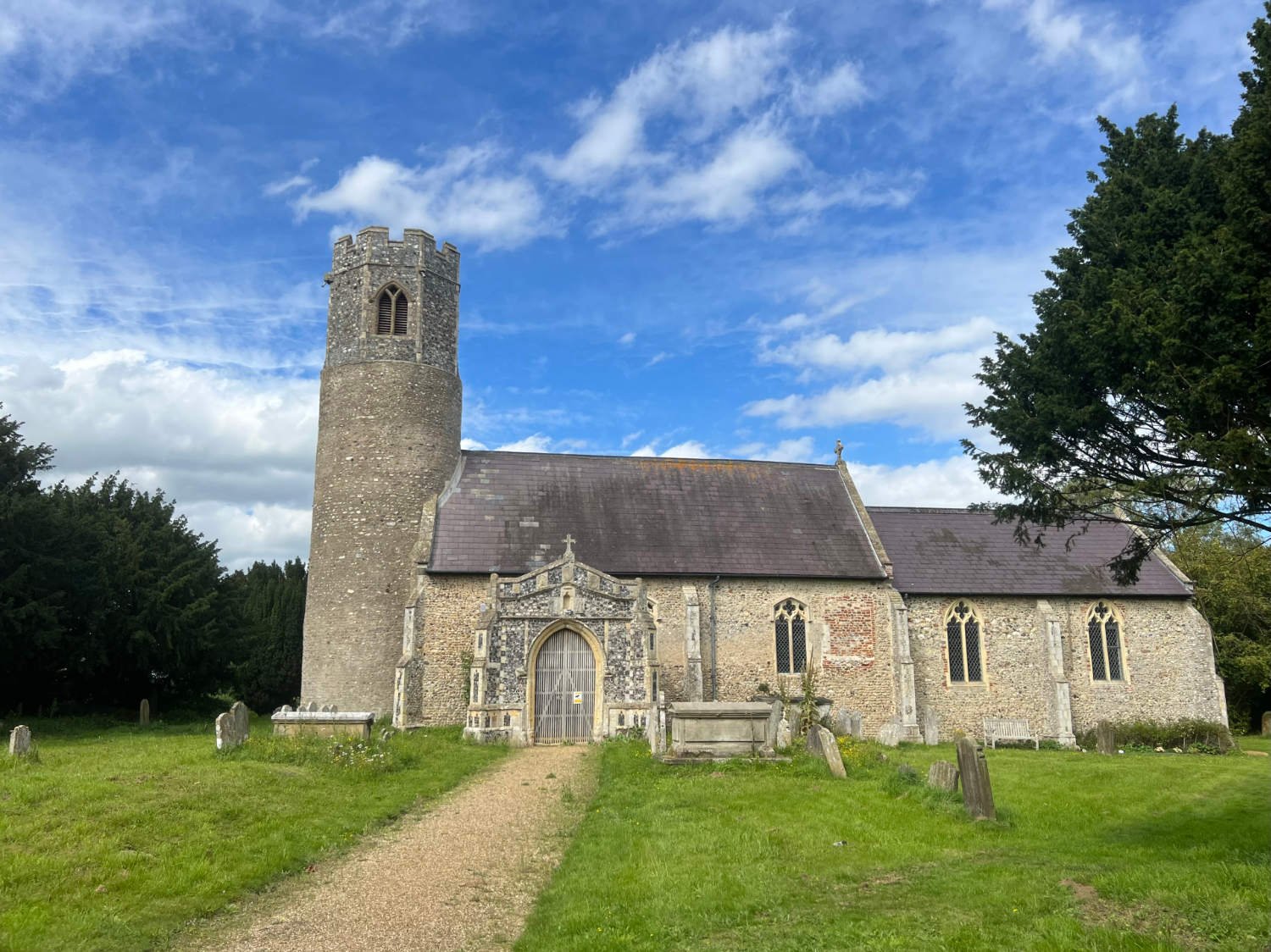
Walberwick’s affluence has kept all ugly intrusions well away. It’s a vision of England from a bygone era; cottages set around the village green, the stout church, cafés and pubs. Come in early July and you could enter the British Crabbing Championships, run by the British Crabbing Federation. To win, you’ll have ninety minutes to catch a crab larger than anyone else’s. Having, crabbed, drunk a pint, eaten cake or just lazed on the beach, there’s a ferry the size of a rowing boat to take you and the bike across ten metres of water to Southwold.
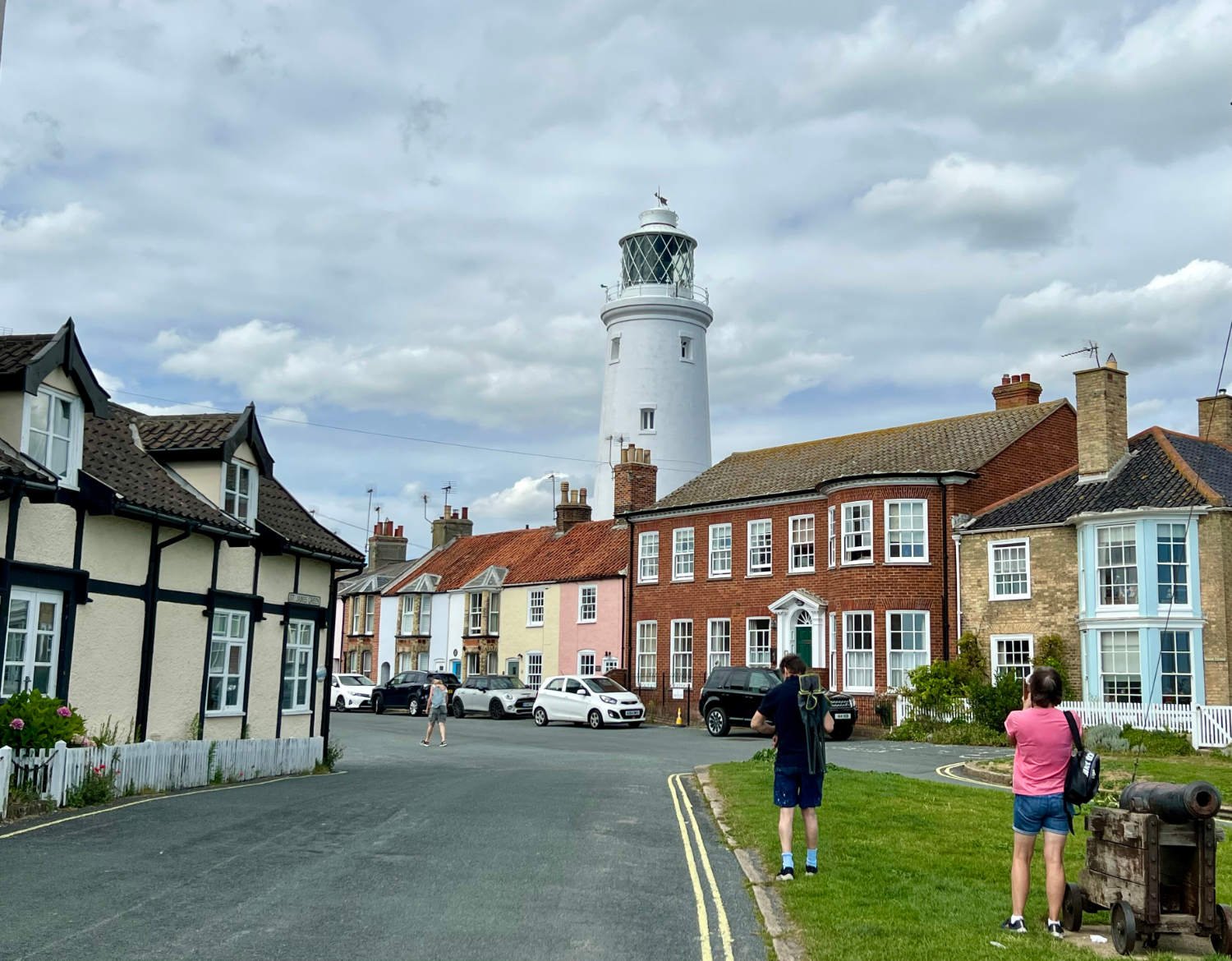
Southwold is the very essence of an English seaside town; a beach lined with colourful huts, a pier, amusements, putting. There is a thriving high street full of independent shops, cafès and pubs. The town is also the home to Adnams, the Suffolk brewery.
Southwold Beach
The coastline around Covehithe, reached after more sandy bridleways through a forest, endures the greatest erosion of any in the British Isles. Estimates suggest that what remains of the village - a few cottages, a ruined church and some farmland - will have entirely disappeared within 100 years. It’s estimated that the cliffs are eroding at 4.5 metres a year. From the remnants of the village, the route heads inland on quiet roads in order to circumvent Benacre Broad and the horrendously busy A12.
Between the mid-nineteenth and mid-twentieth centuries Lowestoft was one of the foremost herring ports of England, landing over 400 million fish in a year. The fleet is a shadow of its former self, due to overfishing in the 1960s and 70s, and what little is caught is exported to the Baltic. Birds Eye still have their factory in the town, but the cod for the fish fingers has to be brought in from afar. The Suffolk Coast Cycleway finishes in the heart of the town, beside the Fisherman’s Memorial at the end of the pier. Nearby is the train station, or if you wish you could continue around the Ness, England’s most easterly point and onto the Norfolk Coast Cycleway.
Every route on this website has been carefully researched as well as ridden. However situations on the ground can change quickly. If you know of changes to this route, or cafes, pubs and the like which you think other cyclists need to know about, feel free to share your thoughts below.
If you enjoyed this guide, why not subscribe to the website so as not to miss other inspirational routes?


