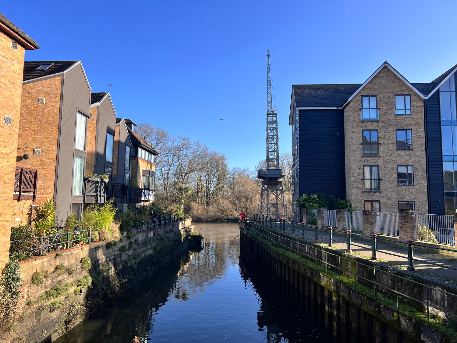
28km The River Crane

River Crane
Ride overview
London has several explosive rivers, with the River Crane holding the first prize for fireworks. Wooded rivers on the borders of London, such as the Lee, Hogsmill and Crane were the centres of the government controlled gunpowder industry. The fast-flowing waters powered the mills which ground and mixed saltpetre, sulphur and charcoal.
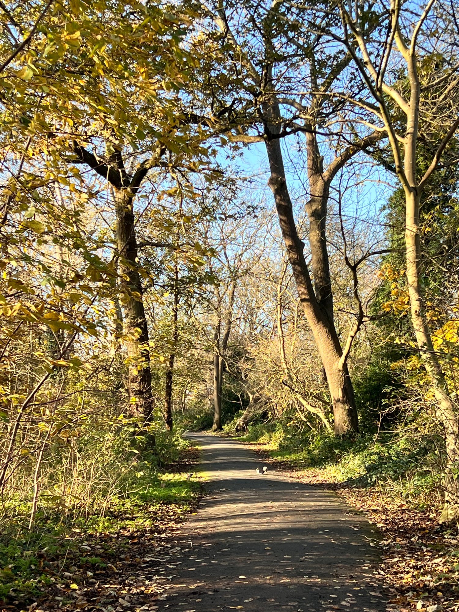
The ride up the Crane from Twickenham, on traffic-free paths through scruffy and tangled woodlands, is a journey into London’s ‘unofficial countryside’ and manages to combine remoteness with neighbourhood. The Crane finishes near the end of Heathrow’s second runway where you can stop for a bit of plane spotting before heading to the Grand Union Canal, whose towpath takes you to Osterley, one of London’s grandest stately homes. The grounds of a great estate, replete with lakes, mature woods, and cattle grazing in the extensive fields could not be further from the usual image of London. Thereafter, the route follows the Duke’s River which, whilst more suburban in style, is no less intriguing for you ride through the second largest sewage farm in the UK (nothing like as grim as that may seem), and past the home of English Rugby. The river is nature rich and one of London’s most important for the spawning of eels. The varied half-day out on traffic-free mixed-surfaces, exploring some of west London’s hidden corners, is a treat of a ride.
Ride Practicalities
START/FINISH: Twickenham station DISTANCE: 28km TOTAL ASCENT: 107m TERRAIN AND SURFACES: The route is almost totally flat. Paths are well surfaced for the first and last thirds of the ride, and muddy after rain for the middle section. There are gates erected on the entrances and exits to the woods to prevent joy riders using their stolen motorbikes. However, they are narrow and it is hard, but not impossible to manoeuvre a long wheel-based e-bike through them. RECOMMENDED CAFÈS/PUBS; Osterley; Osterley House (NT) NEARBY MAINLINE TRAIN SERVICES: Twickenham (Richmond station with District and Overground Lines is 1.5 miles away) LINKS TO OTHER RIDES: Between the Great West Roads
NB: Recommended Cafés, pubs, camping, accommodation are those which meet the WMWG mark of quality.
Note; Since the ride passes close to the RFU Twickenham stadium, you may wish to check that you ride does not clash with a match day.
Ride Notes
The ride up the Crane is as much a route for both nature lovers as it is for toponymists. Twickenham, where the ride begins, suggests a Saxon settlement ‘wic’ indicates a small settlement, whilst ‘hamm’ means land in a river bend.
The name now in use for the river, ‘Crane’, is a relatively recent one; it’s been known as The Fishbourne', 'The Old River', and 'The Powder Mill River'. There are still fish in the grey water, and eels. In terms of age the river, like many of the Thames tributaries, probably dates from the end of the last Ice Age, some 8,000 years ago. ‘The Powder Mill River’ dates from the mid-sixteenth century onwards when the river powered the mills in Europe’s largest gunpowder works.
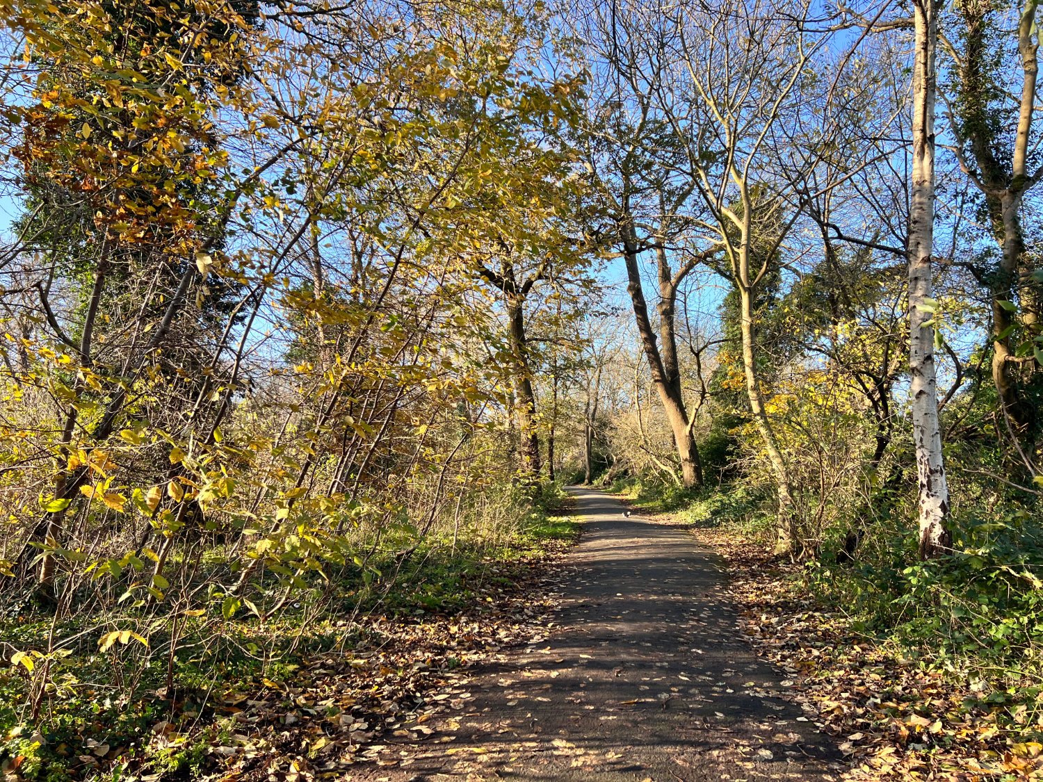
From Twickenham station, you ride into the former railway sidings known as Twickenham Junction Rough, which in its time has also been marked on maps as an orchard (1864) and allotments (1950s). Since their abandonment in the 1970s, nature has regenerated the land and the result is classic rough London; brambles, willows, alders with patches of unkempt grasslands. Butterflies and bees love it, as do small mammals. Old tree trunks have been carved into benches. Following the well-surfaced and popular path, you ride parallel with the modern railway to the Mereway Nature Park and into Kneller Park, where there’s a café and, that most rare thing of modern London; public toilets which are open and clean. The park was once part of the Kneller Hall estate, which was owned by the court artist, Sir Godfrey Kneller. After many re-builds and changes of purpose, it was until 2021 the army’s music school, and is now an independent school.
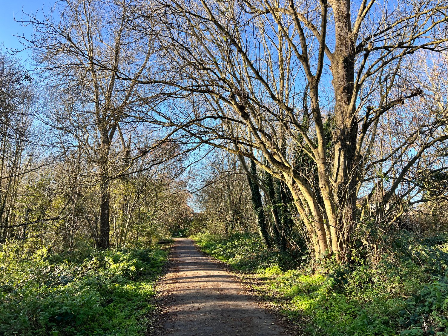
River Crane Cycle Path
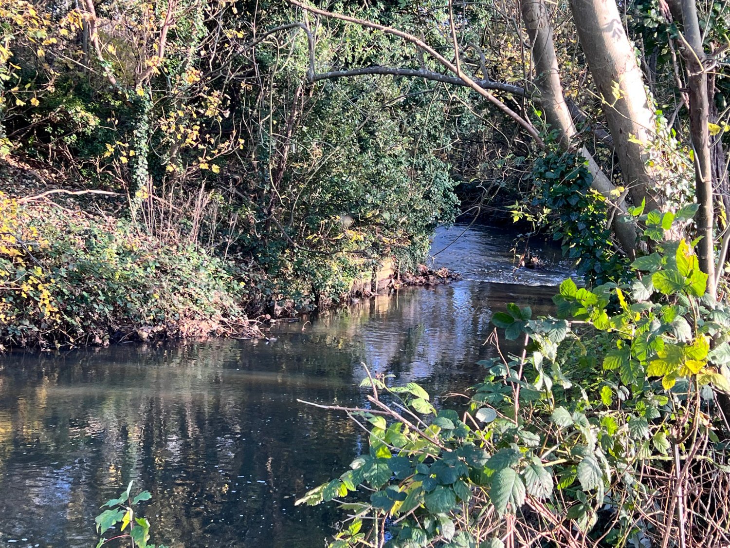
The path continues through woody scrub, with the river running beside the path. There are beehives set into the far bank, houses are well screened by oaks and poplars, the paths are flower-lined, and ‘wetland scrapes’ (shallow ponds) are carved into the river. It is a pleasantly rural ride which makes it all the more unbelievable that for two hundred years or so, it was Europe’s largest gunpowder manufacturing area. From the mid-eighteenth century until 1927, the noise would have been of pounding water-mills and the voices of the 320 workforce, rather than the two-note song of great tits, or the alarmed rattle of blackbirds. Occasionally there would have been the loud boom of an explosion. Over 55 are recorded, some of them fatal. On the edge of Crane Park, is the Shot Tower where molten lead was poured through a sieve placed on the upper storey. As it dropped, the lead cooled and formed into small round pellets which hardened as they hit the large water tank at the bottom. There’s a small museum on the lower floor, as well as a coffee van outside.
Gunpowder was a government controlled industry, and saltpetre (sodium nitrate) a key ingredient, was especially hard to obtain. A small quantity was made from pigeon droppings, but the majority was imported from India. However charcoal from the nearby trees along with sulphur, were readily available in the UK. Mixed in mills, such as those which bordered the Crane, the powder was taken by donkeys to Brentford before being transported by barges up to the Government stores up river at Purfleet.

The Shot Tower, River Crane
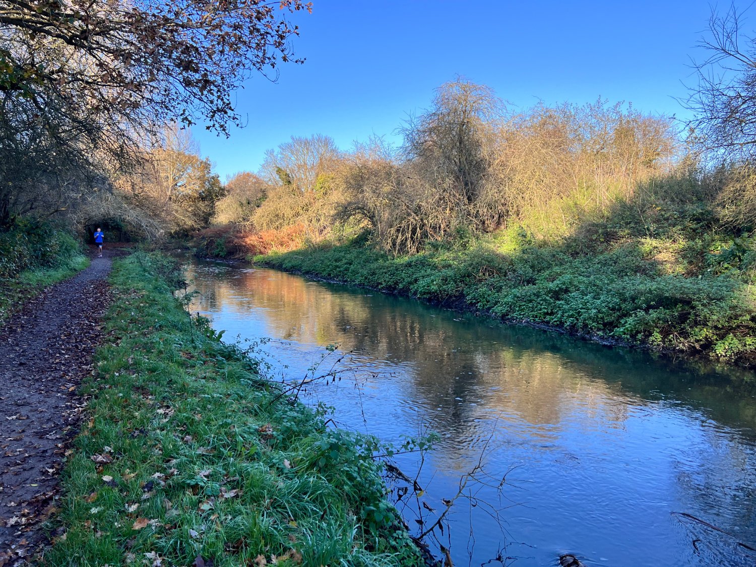
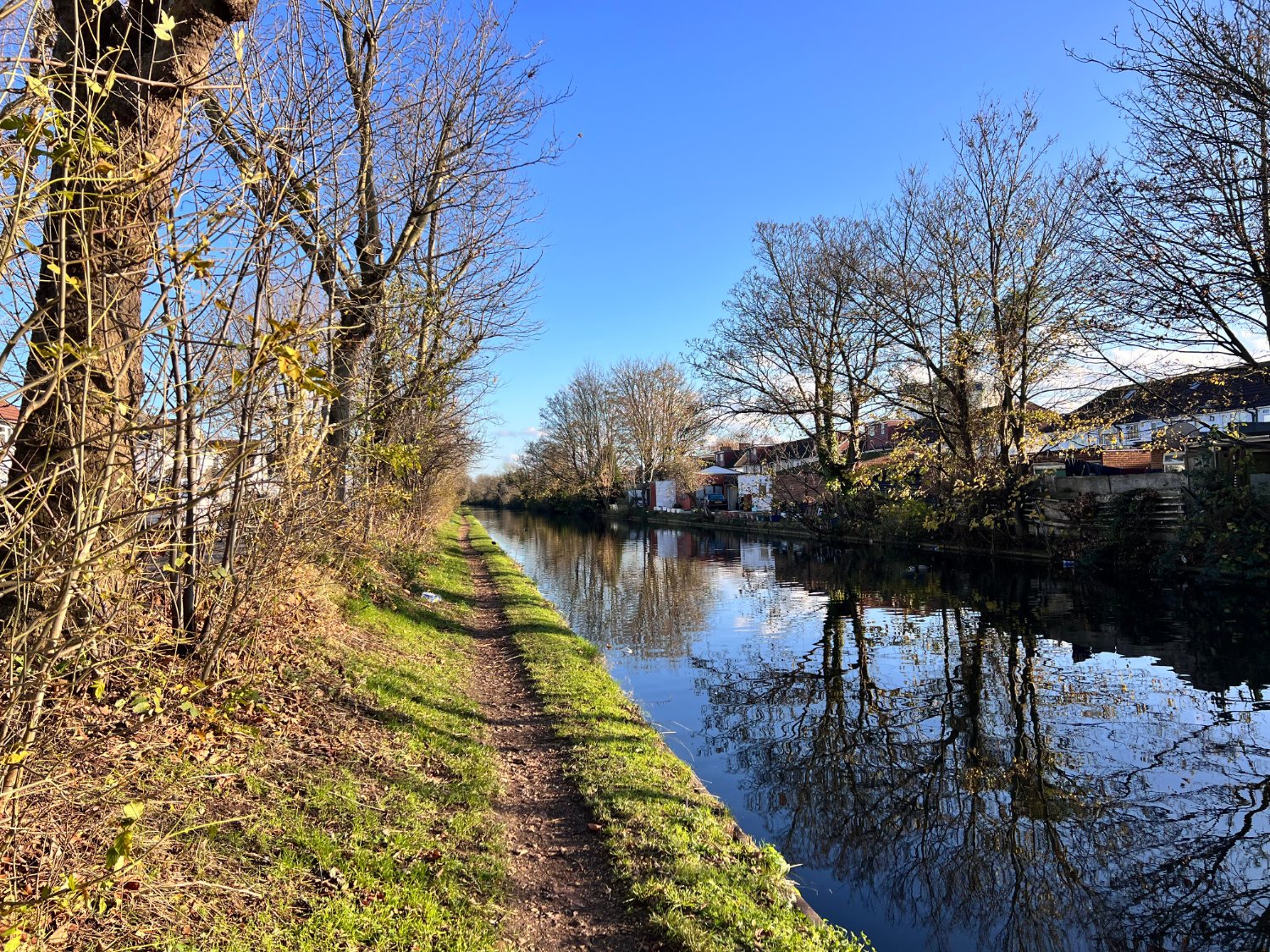
The route continues on newly surfaced paths and as you pedal westwards, the terrain is managed more by nature than by man. The country becomes rougher, woodpeckers are about, as are kingfishers, damsel flies, water voles, foxes, although you’ll have to stop pedalling and sit on one of the many benches along the path if you are to spot any of them. The grey river flows strongly, its colour due to the ‘grey water’ run off from the hard paving of driveways and roads. There are stands of willows, poplars, alders, young oaks and ash. There’s grassland and on the far horizon you can just make out the tops of buildings. Somewhere an aeroplane whines, a siren, a distant dog barks. The feeling is one of being very far from the city.

Cavalry Tunner, Feltham
A twist and a turn of the path and you find yourself at the end of the 686m long Cavalry Tunnel. Built at the end of the First World War, using the labour of German prisoners of war, it culverted the Crane to flow underneath the largest railway sidings England. The tunnel which you see is used as a relief in times when the river is in high spate. The path only enters the tunnel for a mere handful of metres, but urban explorers armed with powerful torches might enjoy an adventure heading towards the far distant prick of light, before returning back to their bike at the entrance.
After the tunnel, the path becomes an earth track (which can be muddy after rain), and passes through Brazil Wood, named after the red wood pernambuco, imported from Brazil which was ground up in the local mills to make a dye for calico. The wood was also turned into violin bows. After crossing the Chertsey Road, you enter Donkey Wood, (named after the animals who transported the charcoal and gunpowder). There are remnants of the old mills, which from 1066 onwards ground flour and oil and produced the power to make swords. Planes fly a handful of metres above you before their distended wheels grip Heathrow’s second runway a few hundred metres away.

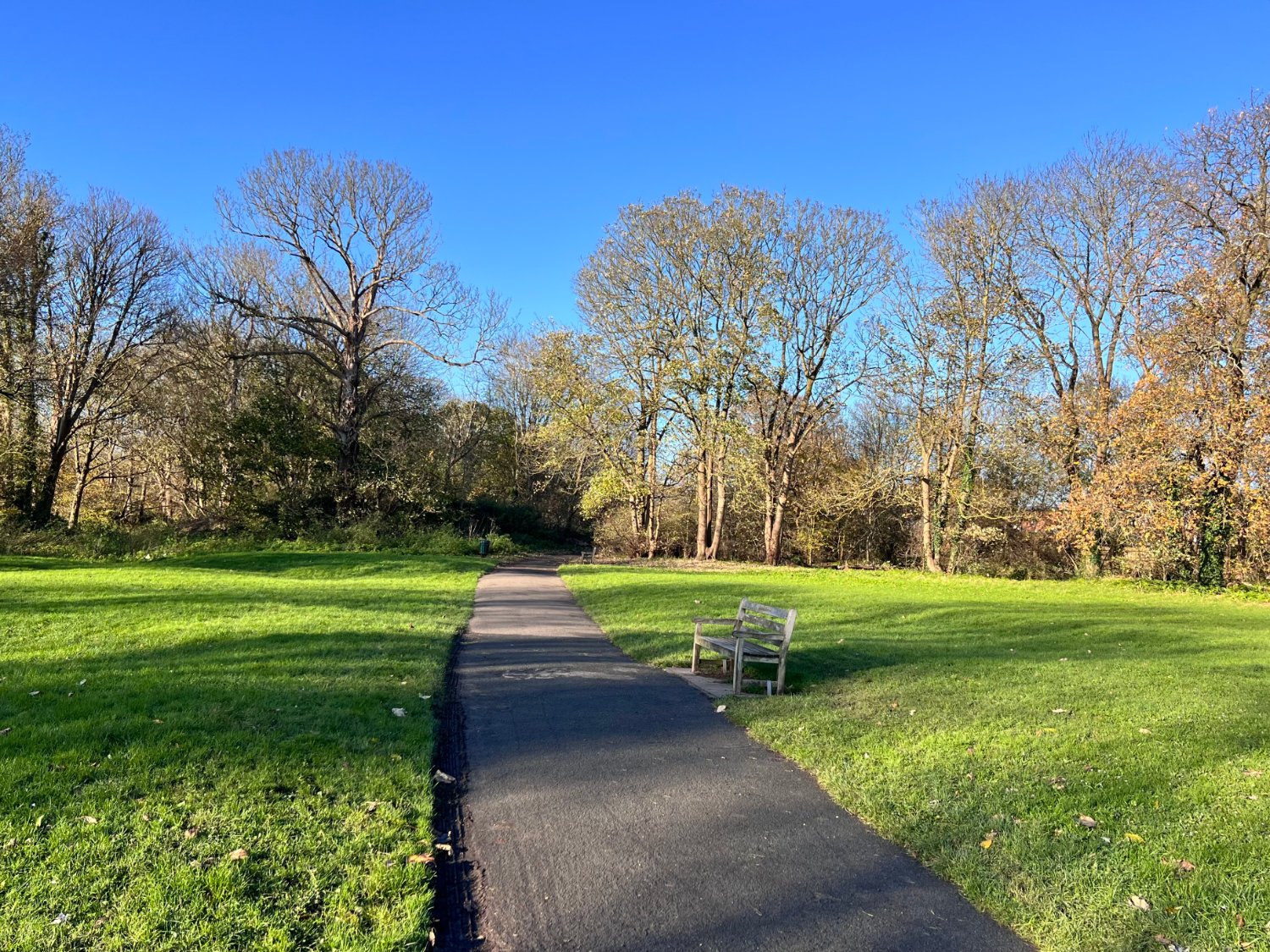
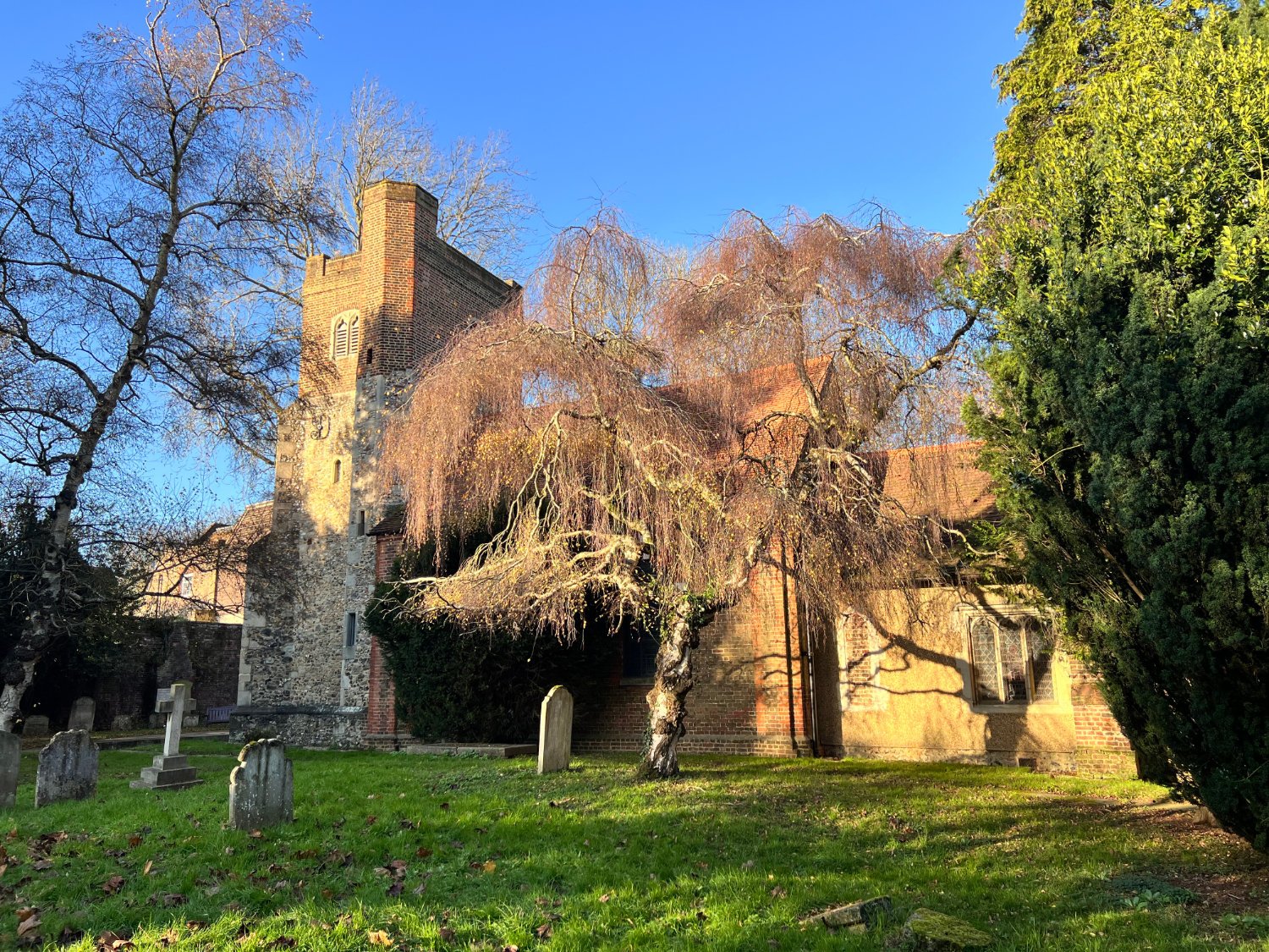
Once out of the woods, Cranford Park opens up before you; stands of well placed trees, meadows and the river crossed by a classical bridge. The main house was destroyed in the war leaving only the stable block and St. Dunstan’s church. The latter is said to have been founded in the 8th century, making it one of London’s oldest. Inside the church, which is rarely open, are three spectacular funereal monuments, including that of Lady Berkeley who is wrapped in a gauze of marble so finely carved that it seems more fabric than stone.
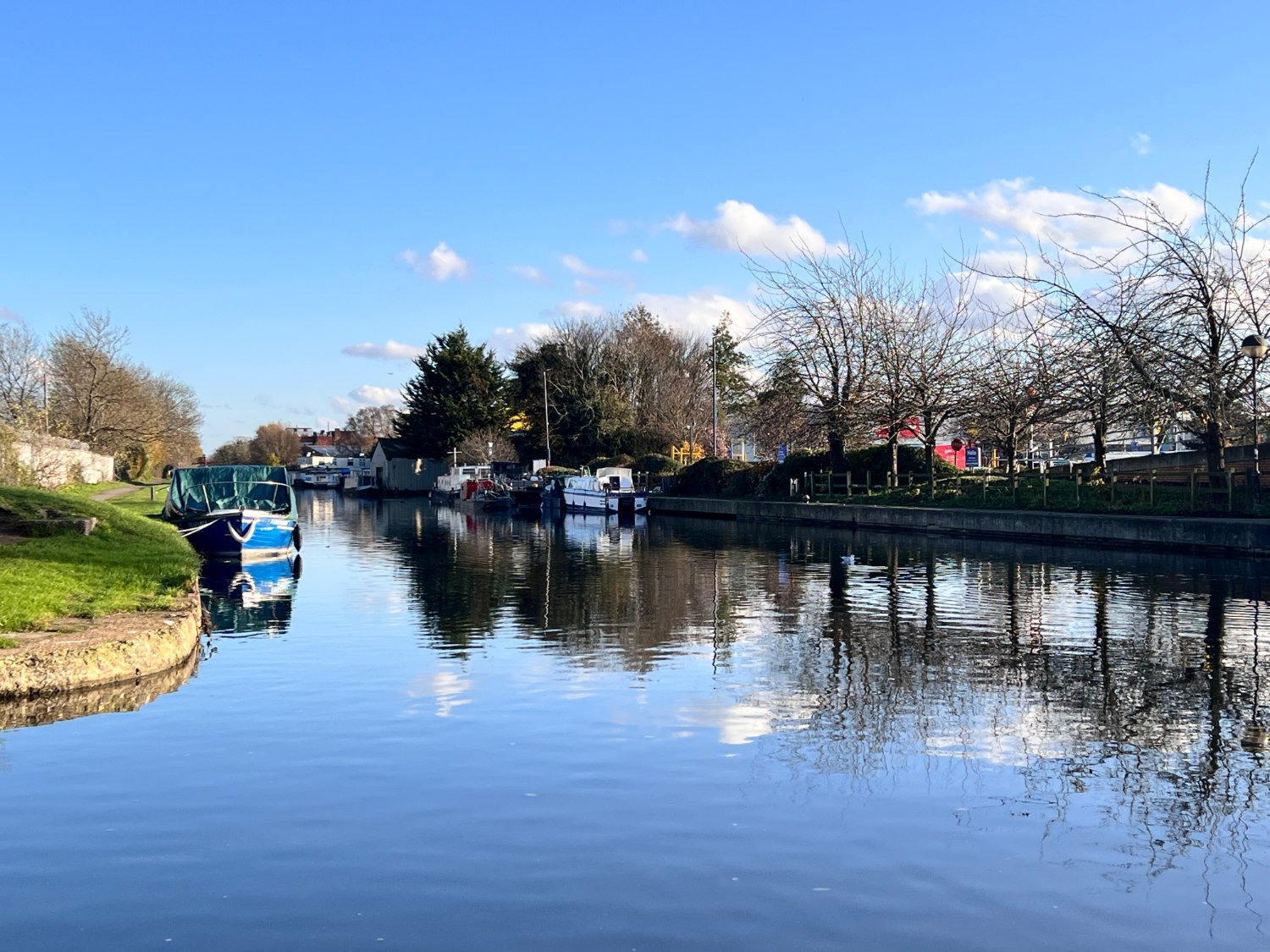
You now ride under the M4, through another wood and into a new industrial estate being built beside the Grand Union Canal. Here you say farewell to the Crane. There are various tributaries coming in from the north London Hills which just north of the canal and once joined they become the River Crane.
The route along the canal path is narrow and sometimes muddy. The canal seems little used other than by quarrelling coots and fussing moorhens. After five kilometres or so, you turn off the canal and head towards Osterley Park via some mid-twentieth century housing.
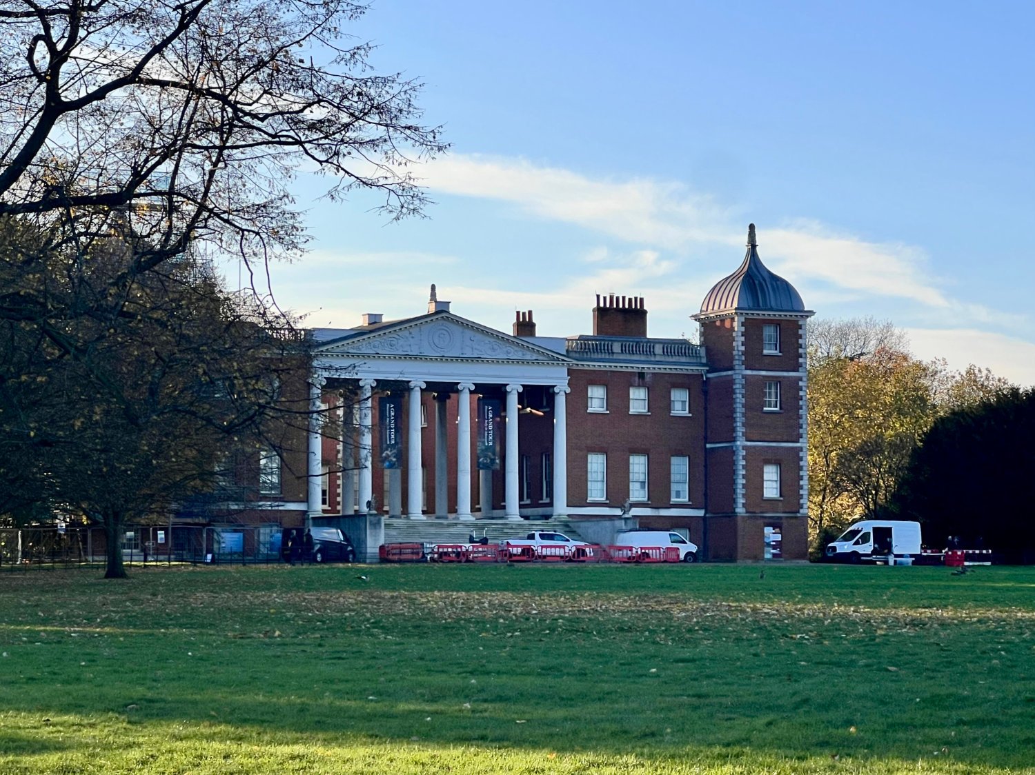
Osterley is a city-boys’ home. Owners have included Thomas Gresham, the founder of the Royal Exchange, Nicholas Barbon, pioneer of Fire Insurance and Sir Francis Child, founder of Child’s Bank that is now part of NatWest. Robert Adam, the great master of English neo-classicism remodelled the house in the 18th century, and it’s combination of warm brick, turrets and the transparent double-height portico make it one of the most spectacular of all London’s great houses. Since you are over the half-way point, this might be the place to stop for coffee and the very good cakes, or the even better homemade soup, made using the garden’s vegetables served in the National Trust Café.
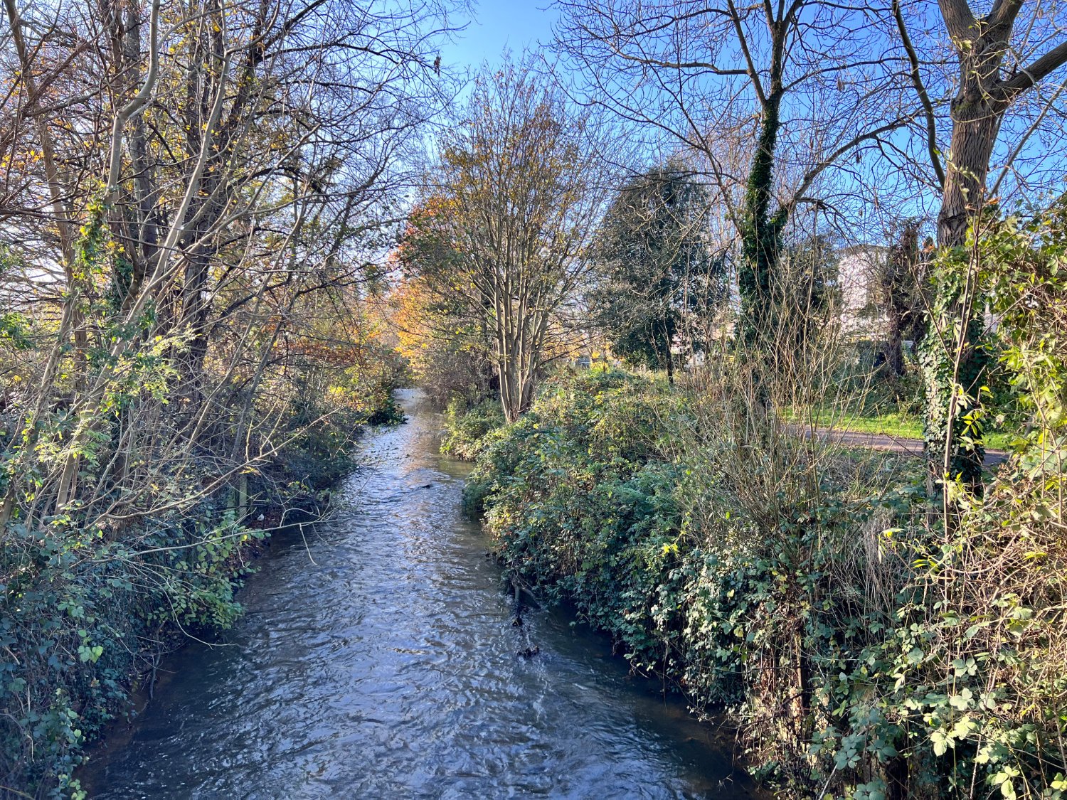
A journey through quiet streets leads you to Isleworth, where you join the Duke of Northumberland’s river, known today as The Duke’s River. It is a 500 year old, 4 km hand-dug channel which powered the mills in Isleworth. It is said that ‘the country’s best ditchers’ were engaged to dig it along with conscripted local residents. Along its quiet course, you pass two features; Mogden Sewage Works, and the RFU’s Twickenham stadium, home of England Rugby. The sewage works are immense; 55 acres process the waste of 2.1 million homes, and it’s a lot less smelly than you’d think. And if you thought that the Duke’s river has become a giant sewage outlet you’ll need to think again, for the river is home to dace, perch and European eels.

Duke of Northumberland’s River
The RFU bought ten acres of market garden in 1907, despite intense local opposition and the first rugby match was held a year later between Harlequins and Richmond. Today, the stadium holds 82,000, which makes it an area best avoided on match days.
The remaining kilometres take you along the quiet banks, where the Emperor Dragonflies hover and dart. There are gardens backing onto the path, Harlequins’ Rugby ground, The Stoop, schools and light industrial sites. Back in Kneller gardens, it’s only a few turns of the pedals before you’re back at Twickenham station.
All the details given on this route are given in good faith. However, situations on the ground can change, so if you know of any access issues, closures, or have any thoughts and feedback on the route, please include them in the comments section below.
wheremywheelsgo.uk is a Feedspot UK Cycling top 20 website