31km The Mar Dyke
The Mar Dyke
Ride Overview
The ride along the Mar Dyke is a classic Edgeland ride. Those familiar with these liminal city lands will be anticipating its many contradictions; where pylons mix with dragonflies, where ancient woodland blends with motorway intersections, where a vast landscape hides a dense population. The route is a wonderful juxtaposition of nature’s beauty and humanity’s ability to create crushing ugliness. The ride is both serene and challenging, combining hard-packed gravel with earthy forest tracks, busy-ish back lanes and a challenging five mile grassy track. You are unlikely to see a soul on the paths. The route ends in Purfleet, where the Mar Dyke enters the Thames. Here are the sheds of London’s old gunpowder stores, the remnants of an Ice Age forest and a hotel which was once a drinking haunt of Royalty.
Over fifty percent of the ride is off-road and most of the route is traffic free.

Ride practicalities
START/FINISH: Brentwood/Purfleet DISTANCE: 31KM. TOTAL ASCENT: 160m TERRAIN AND SURFACES: gravel/forest trails and some busy-ish minor roads without cycle protection. In winter, or after heavy rain, this route can be very muddy MAINLINE TRAIN SERVICES: Elizabeth Line to Brentford, C2C from Purfleet to Fenchurch Street LINKS TO OTHER RIDES: NCN 13, Bayswater to Purfleet Gravel riding on the London Essex border, The Tower to Southend RECOMMENDED FOOD AND DRINK; There are no refreshment places on this ride unitl you arrive at Rainham Marshes; RSPB cafe,
Feel free to comment on this ride, including anything that you really enjoyed, or route changes, or food and drink stops, and don’t forget to stay updated on all future rides by subscribing to the website.
Ride Notes
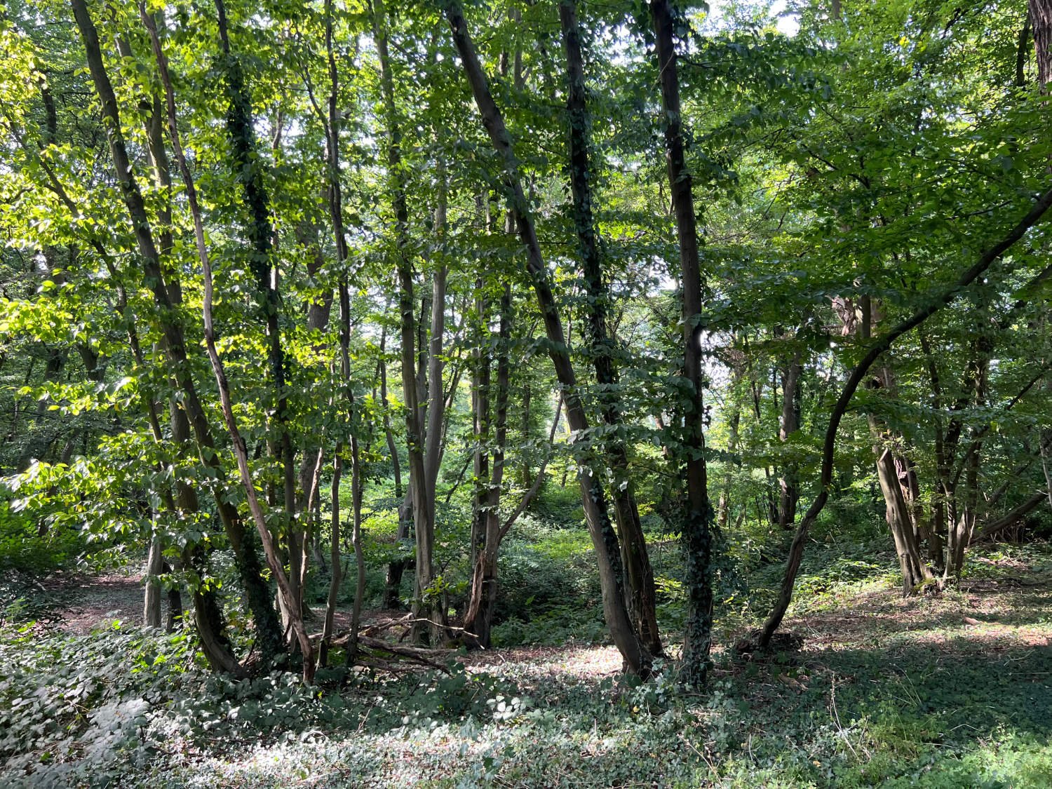
There are more pleasing places than Brentwood, so ride through its suburbs past the Heroic Nelson Pub and onto the reasonably busy, but pretty Hartswood Road which takes you to Thorndon Country Park. As country parks go this is a gem, the riding is superb on well-maintained woodland trails. You ride past various small streams and ponds, which together form the source of the Mar Dyke.
Once out of the woods, the two visible parts of the Mar Dyke (Mardyke, Mardike- you’ll see the name spelt in varying degrees along the way) are joined by quiet (for Essex) country roads. In England it seems, the flatter the county, the more cars there are. Along these minor back roads, you’ll be passed by more Jaguars, Porsches and Bentleys than you’d see in the heart of Belgravia, so ride with caution and acute awareness. That this is car country is amply illustrated by the fact that it is impossible to find a quiet crossing of the A427, dual carriage-way, so you are forced to ride for a mile along the B186 for a short distance until the noisome road is crossed. There’s a little more road riding along St. Mary’s Lane, before re-joining the Mar Dyke.
Thorndon Country Park
Another glaring contrast is The Glass House, a Wellness centre, positioned in the landscape, surrounded by industrial fields which are punctured by pylons and ringed by major trunk roads. It is hard to imagine anywhere less conducive to switching off from the bustle of the world. However, judging by the website, there are natural ponds to swim in, glamorous surroundings enclosed by a wall, plentiful saunas and so on, all at great cost. Or for no money, you can be the master of your own wellness and continue on this ride.
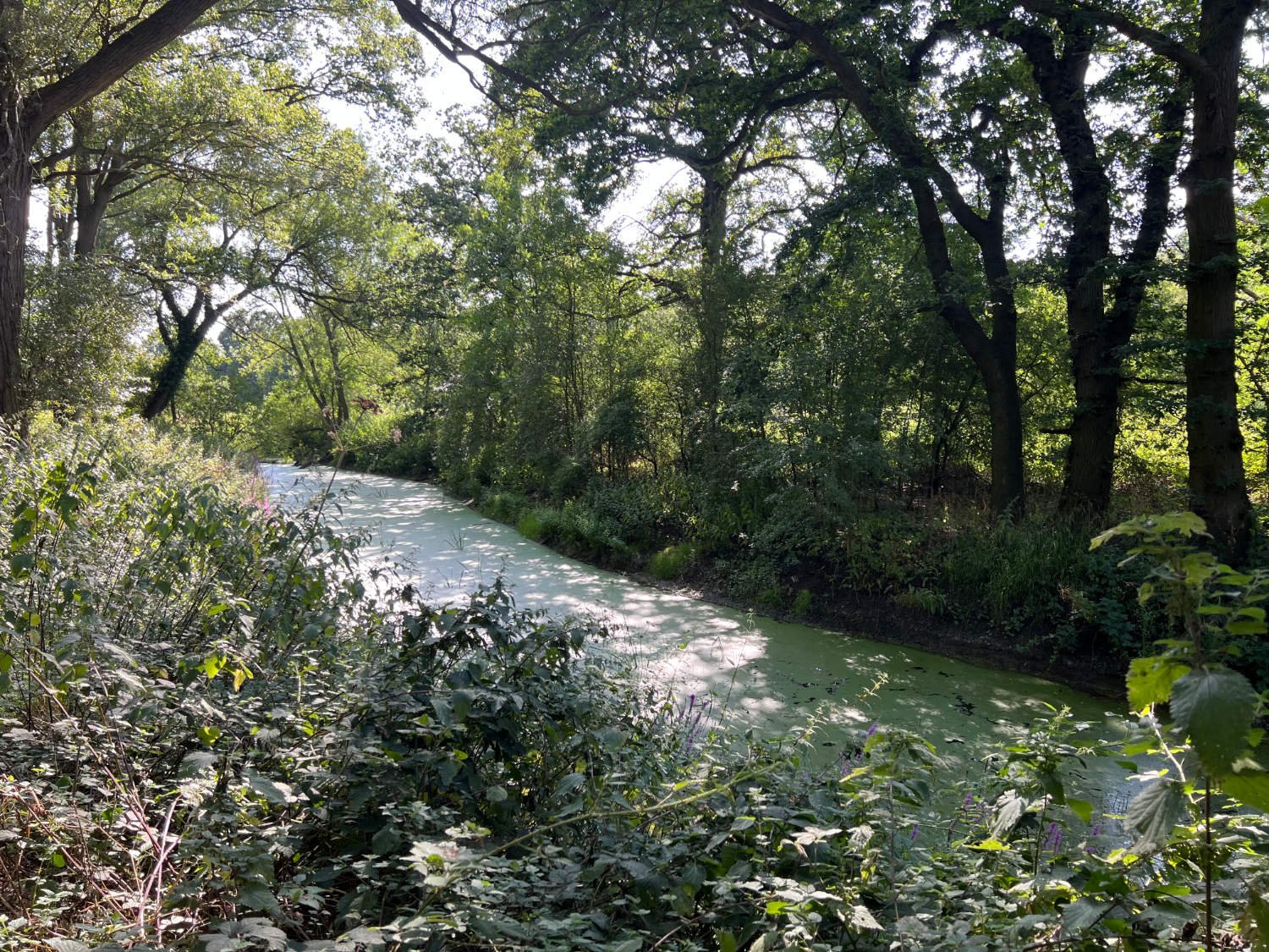
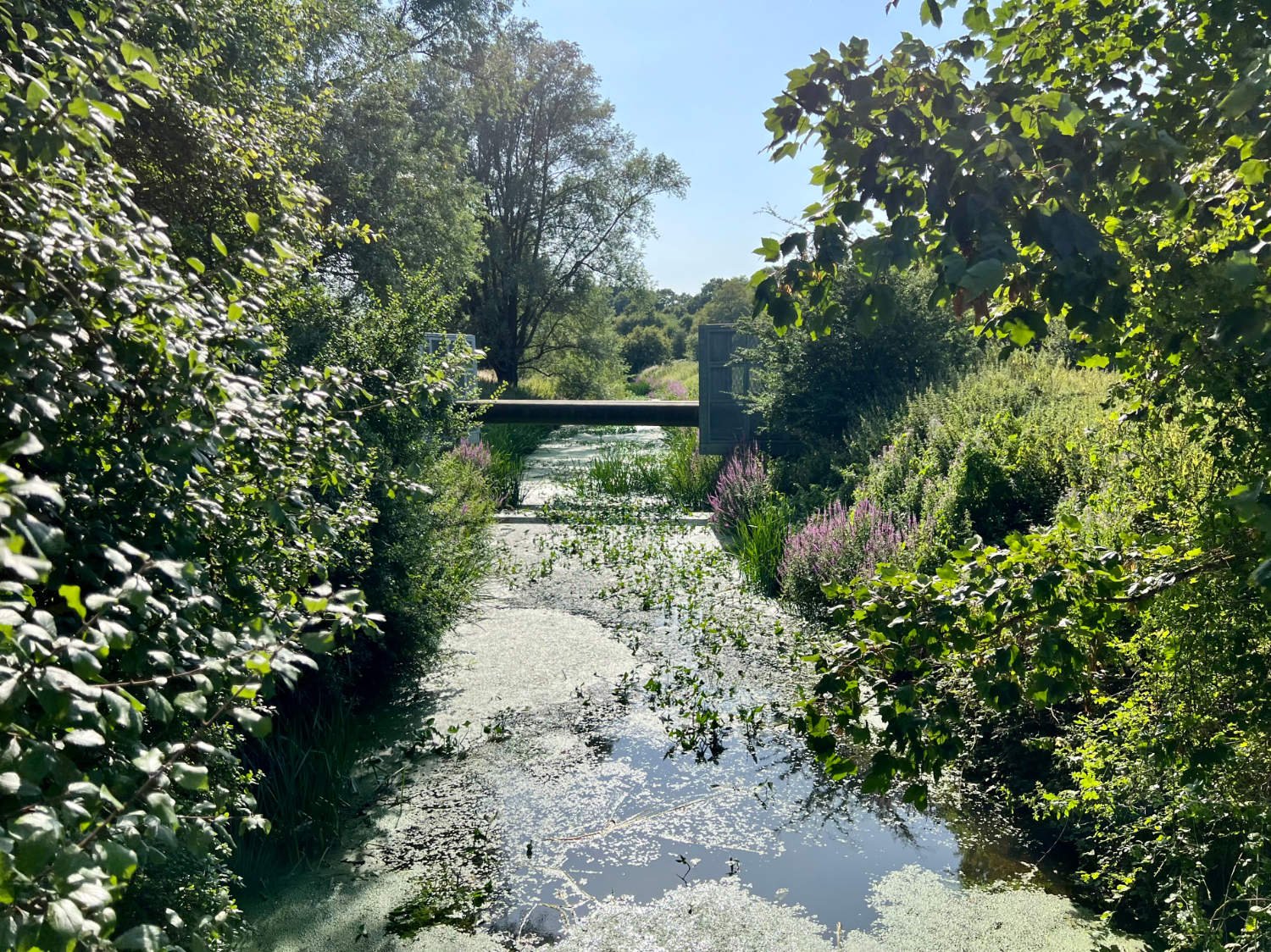
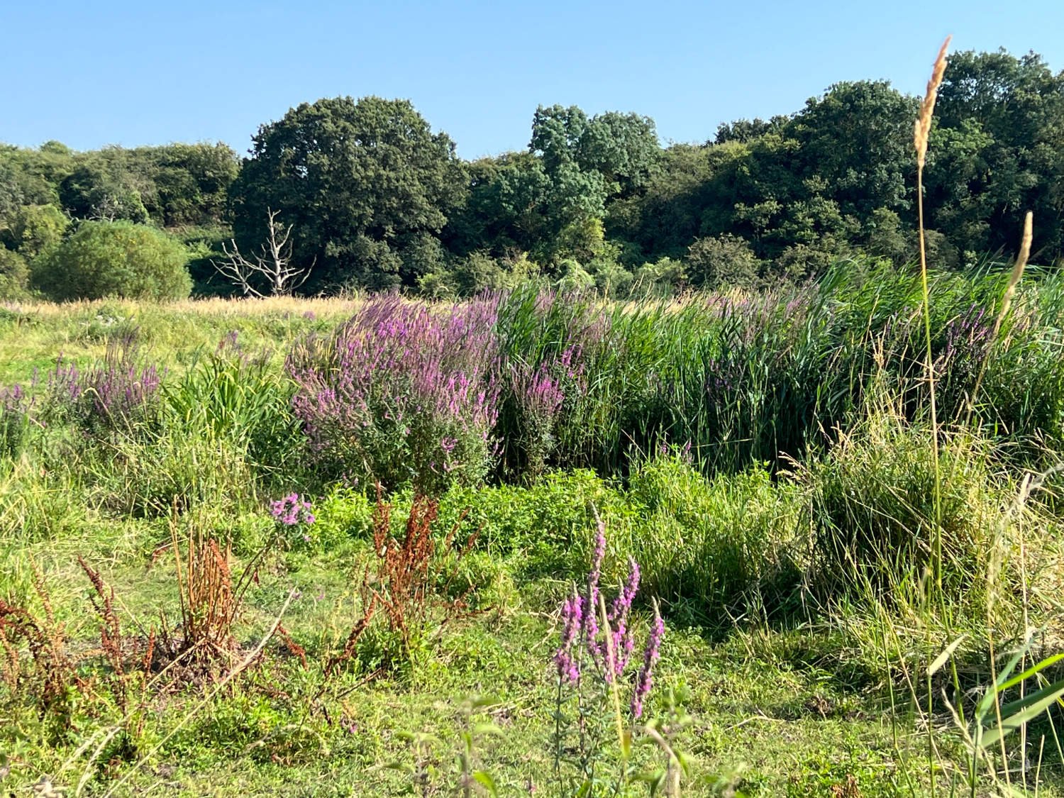
To say that the Mar Dyke is unloved is an understatement. You might be forgiven on first seeing the mature river, what on earth induced you to come this way. It is reed clogged and what water is visible is choked with algae. According to the Department of Environment, Food and Rural Affairs, The Mardyke is no better than ‘moderate ecological status’. Oxygen levels in the water are ‘bad’, there are no ‘mitigation measures’ and specific pollutants are ‘high’. On the chemical scale, the river ‘fails’. Yet, nature is a wondrous thing. There is plenty of life and joy to be found on the verdant banks. Willow and reed warblers chirrup away, swallows skim for food, and dragonflies dart jerkily across the river. It’s worth stopping just to take it all in. In the hazy sky you’ll see buzzards - I am convinced I saw a rough-legged buzzard in the height of summer when all the books say that they are rare winter visitors confined to the East Coast - but there are plenty common buzzards, kestrels and marsh harriers to watch spiralling and hovering. In spring, the hedges are full of white-laced flowers of hawthorn and elder. In autumn the blackberries are delicious - sweet, plump and oh, so juicy!
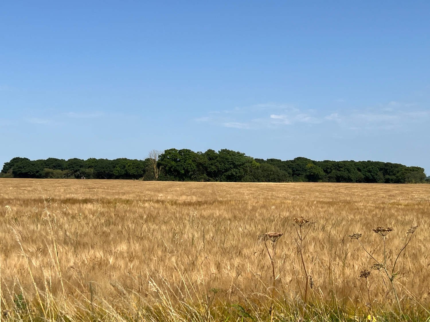
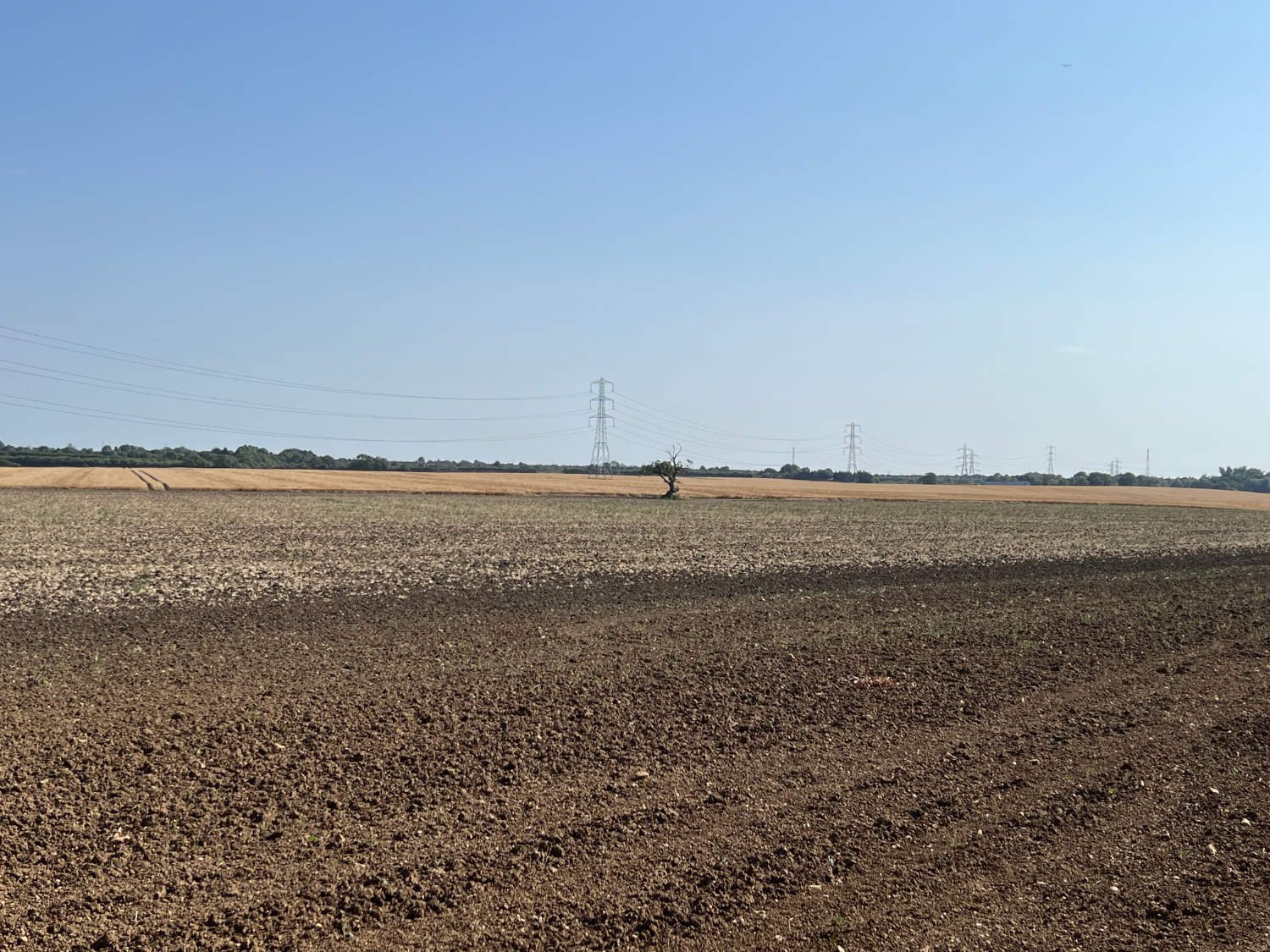
A field of oats on the old Fens
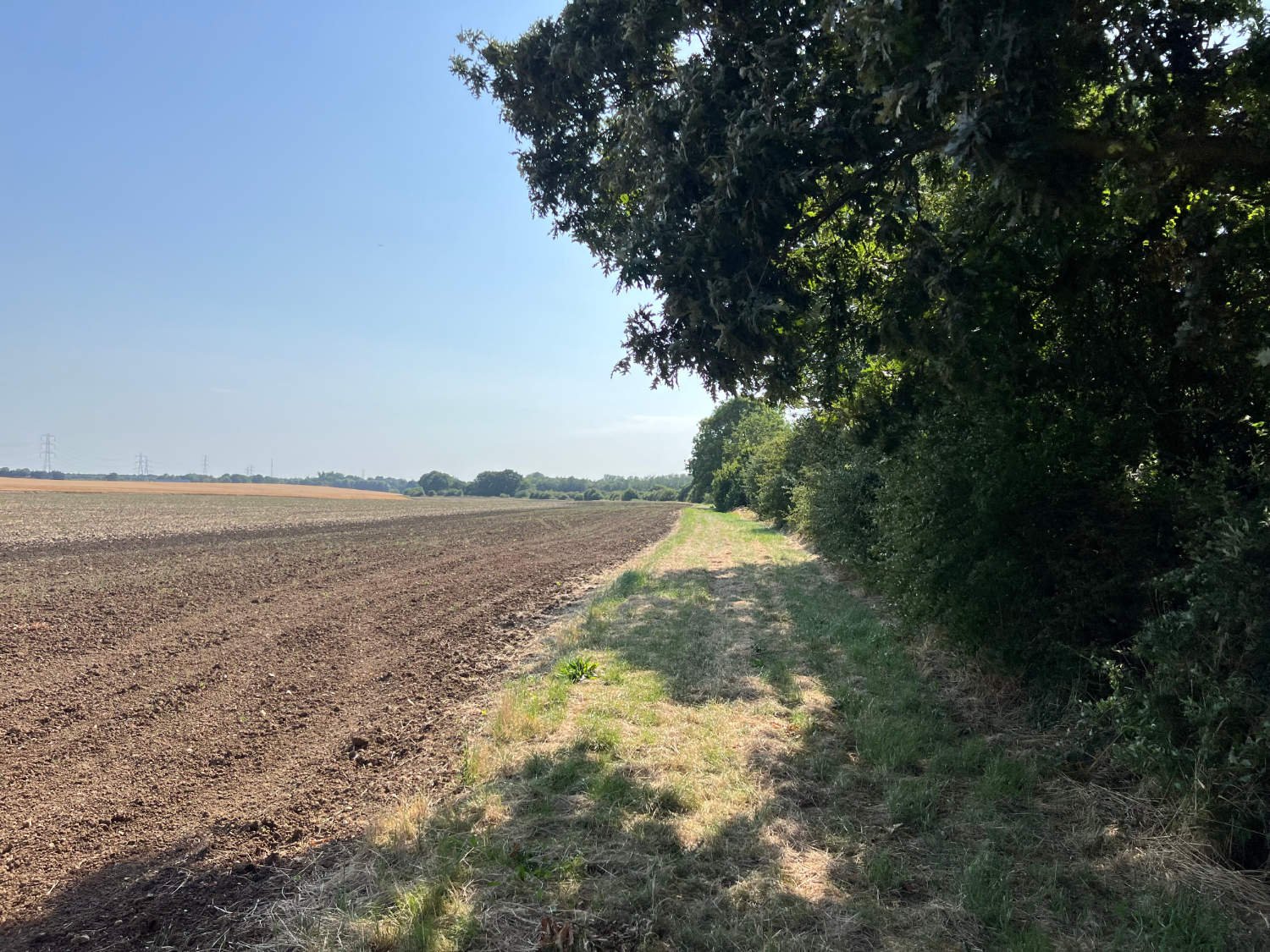
The riding can be fatiguing for you pedal on a grass track. In spring it can be wet, the grass heavy with moisture and in summer the cut dry grass can be slippery and the lumps and bumps created by horse’s hooves, rabbits and goodness knows what else, can be jarring. On maps, the flat countryside around you is described as ‘fens’, despite the old fens being drained many centuries ago. Today, the river flows through a landscape of intensely farmed fields. But as ever. there’s much to enjoy - the pattern of pylons striding across the barley, the smell of camomile, the rough yellow of ragwort.
Hard to believe seeing the state of things, but the river was navigable until the 19th century. “Shallow draught Thames barges would travel up the Mardyke and through the fens collecting corn and hay from the farmers. The barges, often heavily laden with stacked bales, would be ‘poled’ through this flat landscape to take the straw and hay to the large population of working horses in London. On the return trip, the barges would often bring the resultant manure, to fertilise the land.” (from the information board on the ‘Mardyke Way’.
The river Mar Dyke - upon this barges used to sail
At North Stifford, the path becomes smooth gravel and you ride over water meadows, richly coloured and grazed by horses and under the modern cathedral of the M25. By Low Well Wood, you are riding under the old cliffs which were formed when the Thames flowed here after the last Ice Age. The woods have been here pre-date the Roman occupation. As you ride towards Purfleet, distribution centres close in. Traffic noise crescendos, lorries rumble to the docks. And within all this chaos and cacophony, there is a huge dome of a building with a green roof hanger, where the props and mannequins are made for the Royal Opera. In this veritable wasteland it seems incongruous to have a temple devoted to high culture sitting alongside petro-chemical plants.
The Royal Opera House production department wedged in between petrochemical plants
Purfleet, being just over London’s eastern boundary, was the capital’s gunpowder storage area. It was also where the sick were jettisoned in times of pandemics, such as the 19th century smallpox outbreak. Near to the outflow of the Mar Dyke was a WWII POW camp. Today, the town suffers from government neglect - the poor and marginalised are cast out beyond the city’s boundary to live in poorly constructed housing - far from the sight and mind of the governors of England.
The Mar Dyke dribbles into the Thames rather than robustly flows. It is held back by sluices which are designed to stop flooding. Across the bridge are Rainham Marshes, one of London’s greatest open spaces. If you’ve the energy, follow the NCN 13 through the marshes and alongside the Thames to Rainham station four miles away, otherwise follow the route back to Purfleet station for regular trains to take you back to the City.
Every route on this website has been carefully researched as well as ridden. However situations on the ground can change quickly. If you know of changes to this route, or cafes, pubs and the like which you think other cyclists need to know about, feel free to share your thoughts below.
If you enjoyed this guide, why not subscribe to the website so as not to miss other inspirational routes?
wheremywheelsgo.uk is a Feedspot UK Cycling top website


