NCN 1 Stage 7 King's Lynn to Lincoln

Fens, fields and sky
Ride Overview
Flat lands and strong winds
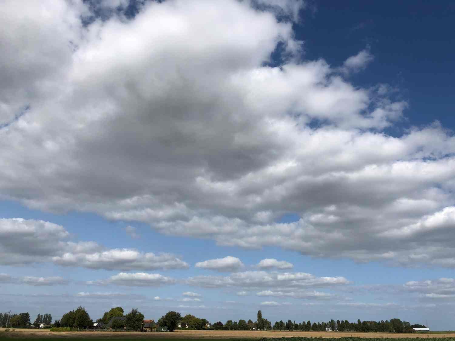
It’s the sky which is the day’s attraction. It’s huge and it creates an immensity and mystery to the landscape. It is so flat in Fenland, that you can almost see the curvature of the earth. Bridges over dykes and drains become the only ‘hills’. The route mixes the tiniest of country lanes which are often pot-holed, with short sections of bumpy paths beside canals. Fenland is a magical place; a man-made landscape but almost devoid of people. It’s a carefully managed and intensively farmed land, but it has the feel of a wild and mysterious place at the furthest end of the world. It can be a strangely thrilling place to be.
Ride Practicalities
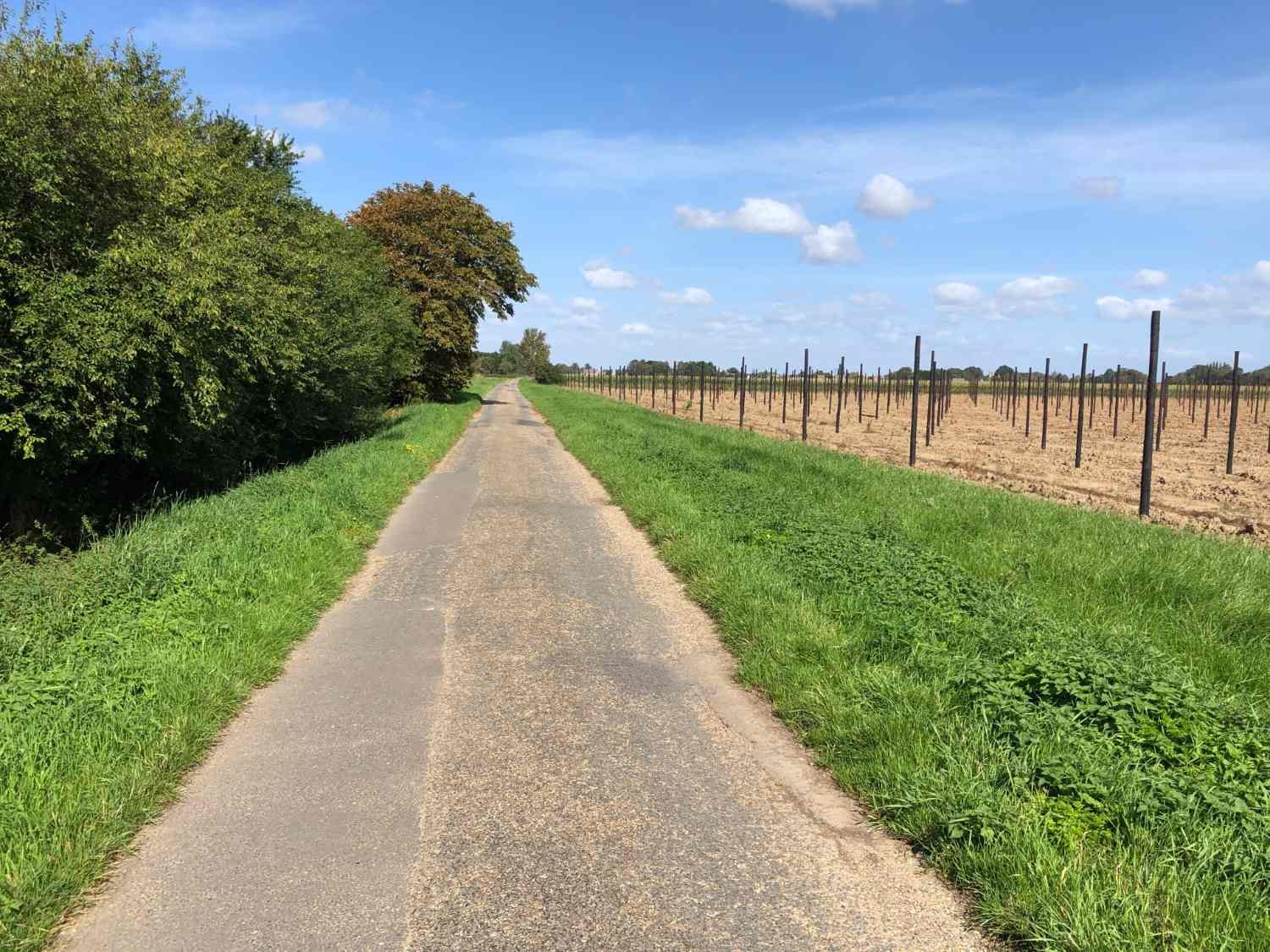
The route is well signed throughout as NCN 1
START/FINISH: King’s Lynn/Lincoln DISTANCE: 148km TOTAL ASCENT: 350m TERRAIN AND SURFACES: Quiet country lanes with little traffic. 25 miles of traffic-free cycle path known as the Water Rail way, linking Boston to Lincoln. RECOMMENDED CAFÈS/PUBS/ACCOMMODATION: Places remain for you to discover based on budget, mood and need NEARBY MAINLINE TRAIN SERVICES: King’s Lynn and Lincoln. PLACES TO VISIT; Wisbech; Peckover House and Garden, Lincoln; Lincoln Cathedral and Castle LINKS TO OTHER RIDES: NCN Stage 6 NCN1 Stage 8, NCN 11, NCN 12
Ride Notes
After a meander through East Anglia, it’s good to be heading northwards again. First though, the river Ouse has to be crossed at Wiggenhall St. Peter, which is followed by Wiggenhall St. Germans, Wiggenhall St. Mary and finally, Wiggenhall the Virgin. Each Wiggenhall is no more than a scattering of a few houses, and you wonder about the squabbling that might have gone on over which saint was to be honoured.

Riding in the sky
Depending on what the cloud-lands above you are doing, the day will either be spent under Charles Kingsley’s ‘arch of heaven’, or else in Francis Pryor’s, ‘darkness with a very real hint of menace’. Whatever the weather there will be times when you feel that you’re riding in the sky itself. The day’s leitmotif will be the wind. It will woo you and it press you hard until you give in to its cheeky amorous advances.
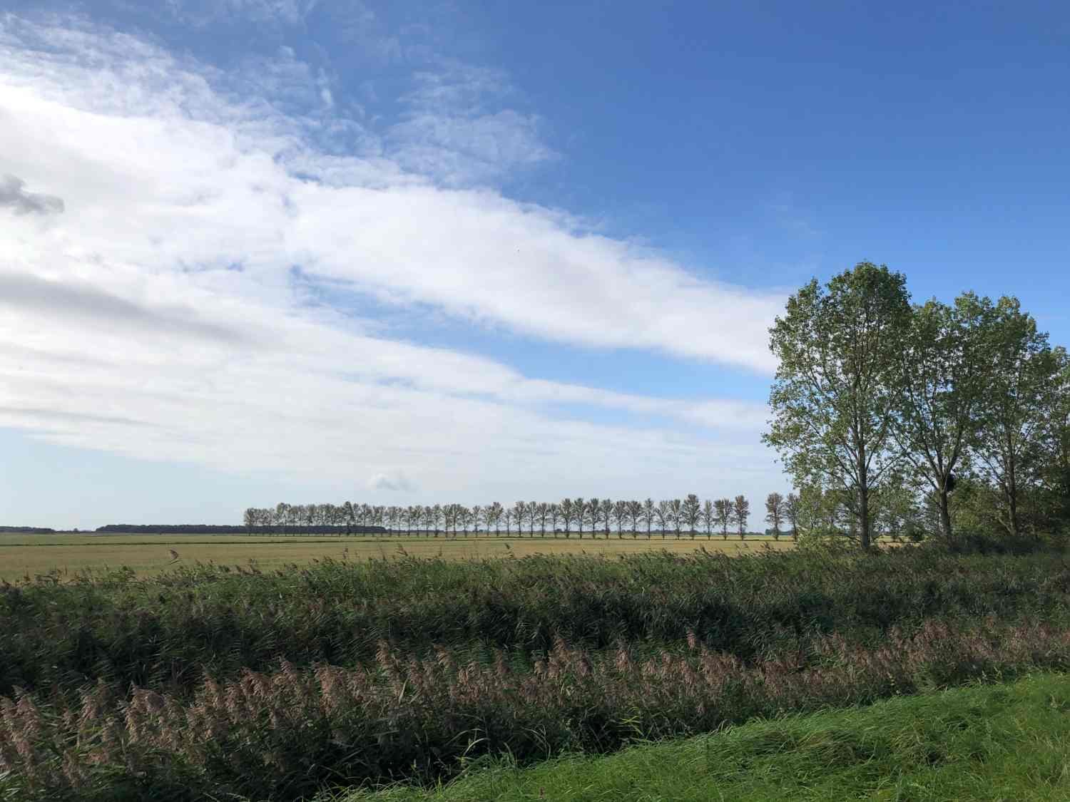
Fenland is a landscape of Mondrian-like lines and right angles; lines of ditches and drains, lines of pylons, lines of poplars, the lines of the road. You learn as you ride the poetry of the pylons, and you wonder how such a place which has been so intensively shaped by humans can be so empty of people.

Fne lines
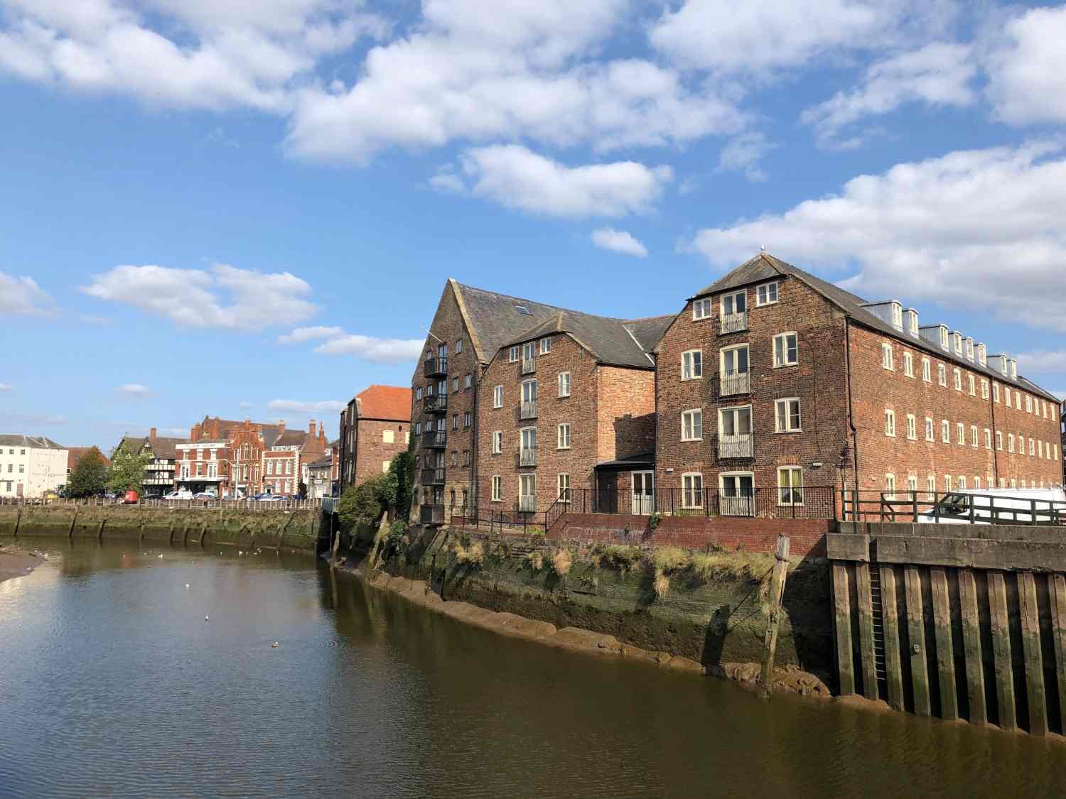
After 32km, you arrive in the capital and former port of the Fens, Wisbech. A row of gracious Georgian merchant houses line on North Brink. However, it has the feel of a forgotten town. It has struggled to redefine itself since the Industrial Revolution and sits in the bottom 10% nationally for deprivation.
In the wind, flags fly from gardens of isolated homes; there’ll either a predominantly yellow flag with blue borders and a red rampant tiger in the middle, or the St. George’s cross of England. The former is The Fenland Flag, which was created in the 17th century as a rallying banner to those who fiercely opposed the drainage of the Fens. The latter is to assert the new brand of Englishness; Fenland is the Brexit movement’s heartland.

The heartland of the Brexiteers
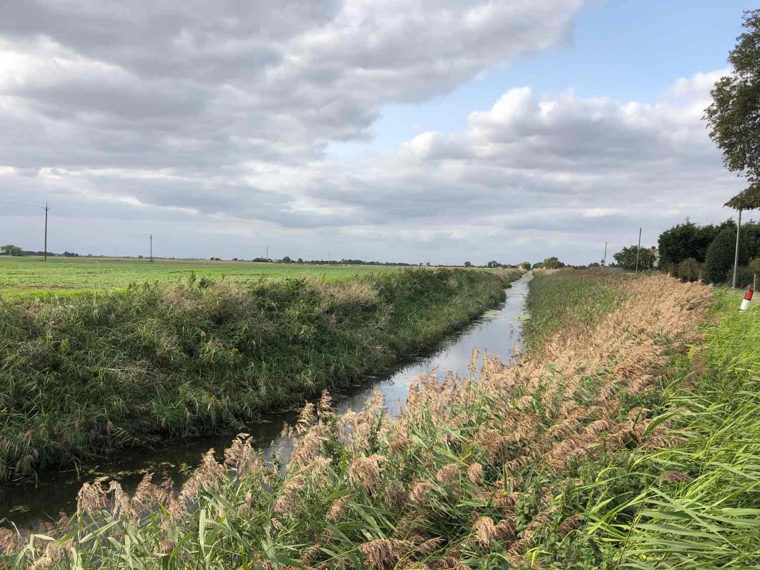
Set yourself a game counting the number of bridges that you ride over, or even more ambitious, the length of canals, drains and ditches that you ride beside. Until the 18th century, Fenland was all but impenetrable to outsiders. It was a water-world; rich in fish, eels and waterfowl and fiercely independent people. Central government had little control over the whole region until the 17th century, when Parliament granted licenses to drain the land. Violence, even murder were the norm, against anyone attempting to dig the ditches. It took the full might of the state to suppress the fierce Fenlanders.

Most of the day is spent below sea-level, yet eighteenth century travellers noted how the Fens were above sea level. As a result of the drainage, the peat has shrunk. In 1851 at nearby Holme, a cast iron column was sunk into the peat with its top level with the soil surface. Today the top of the pole stands thirteen feet above the soil. You’ll often see as you ride through the Fens, that the levées, (water channels), are on raised banks several metres above the road.
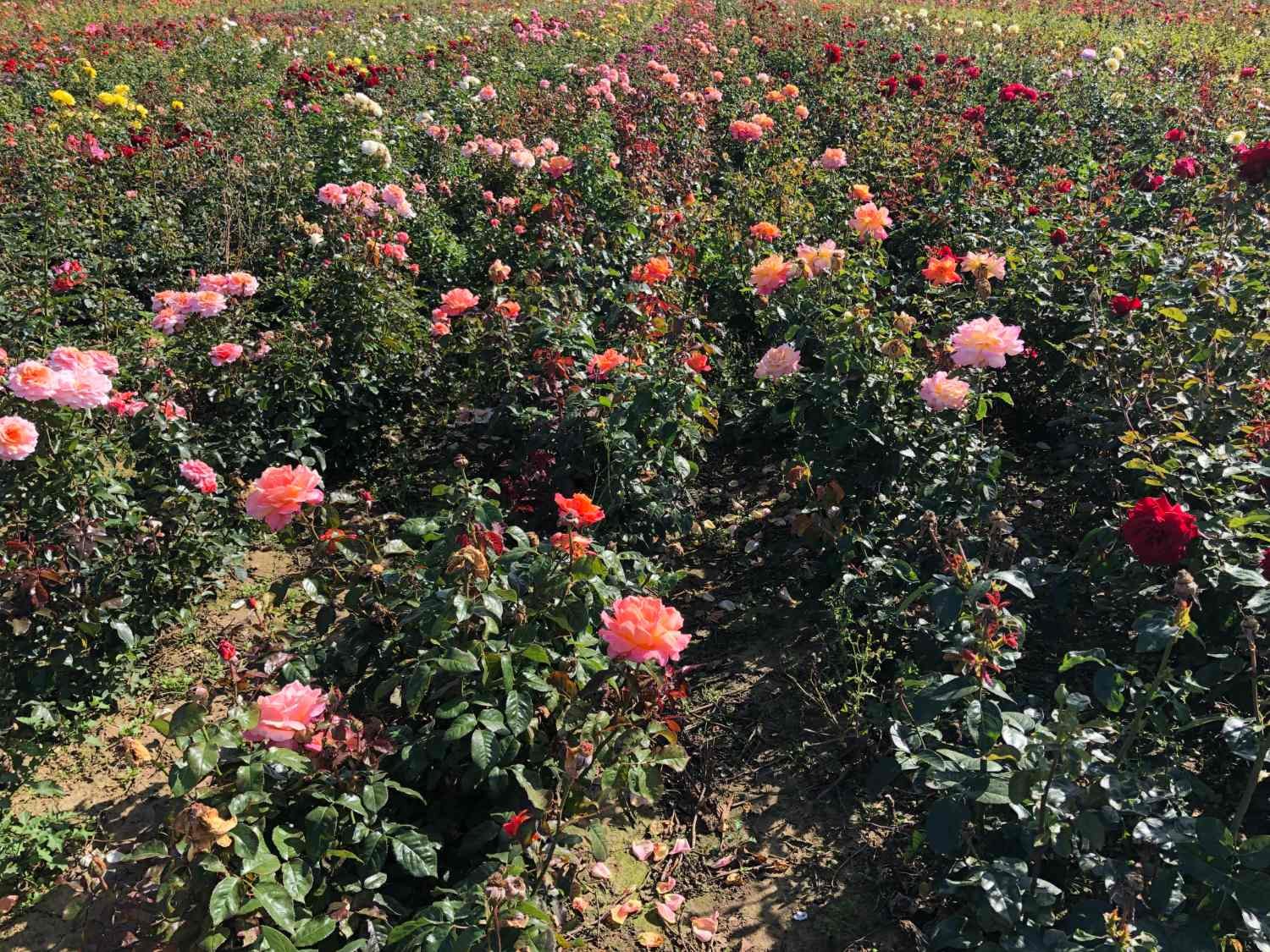
The lanes are narrow, often pot-holed. They turn corners at right angles, marking the edge of fields. One moment you ride into the wind, the next it’s on your back. Windmills, distant church towers, fretted outlines of trees and pylons punctuate the horizons. Fields are full of cabbages, roses, potatoes and in season daffodils. Workers toil behind slow moving tractors, cutting stems and vegetables. Villages are rare, towns even rarer.

cutting cabbages
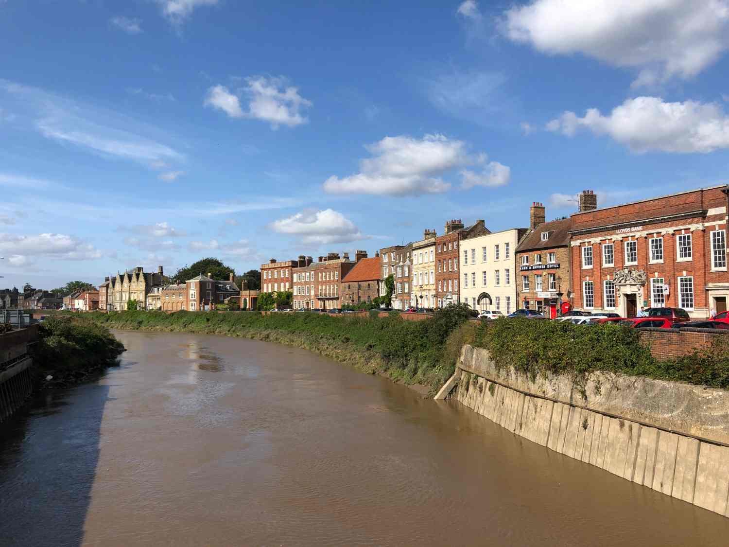
As with Holbeach before, and with other places too, you see Boston long before you arrive in it. It has the tallest church tower in England, which locals refer to as ‘The Stump’. The town square is huge, and the port is largely silted up, but both indicate just how important the town and port were in former times. With still another 45km ahead of you, it’s a good place to sit and eat a Polish sausage packed into dark Polish bread, bought from one of the many ‘polskie delikatesy’ in town.
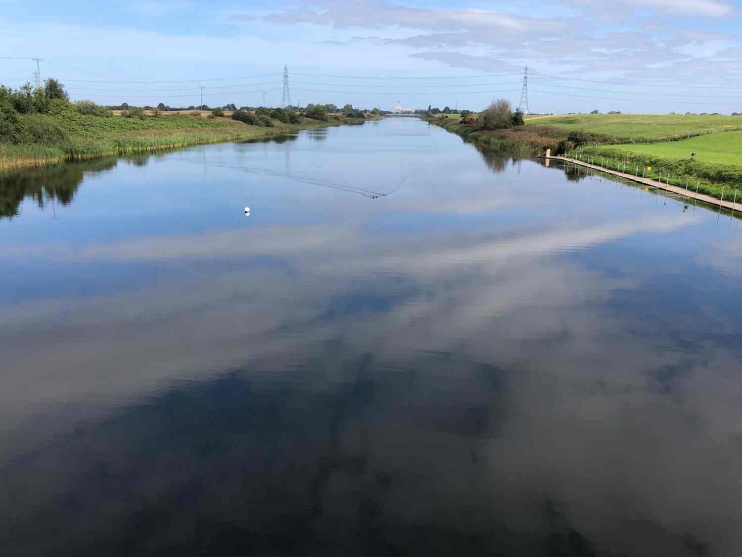
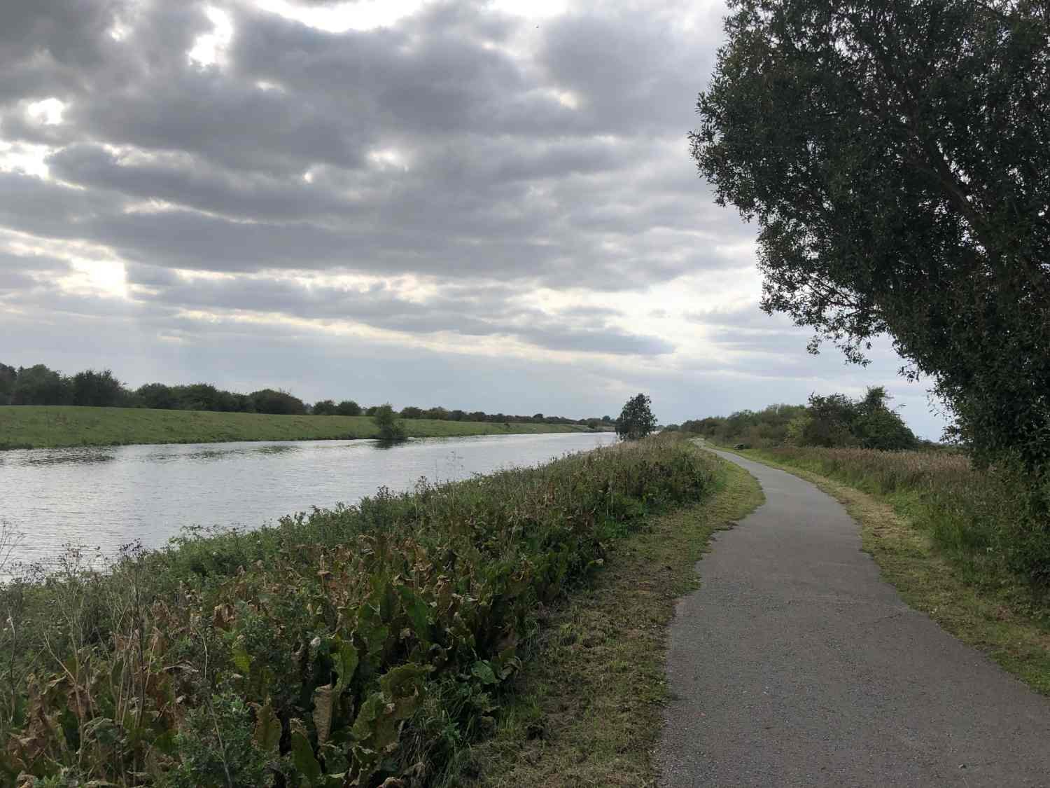
From Boston, the route heads towards Lincoln, beside the Witham river channel, once an important shipping lane to the ‘port’ of Lincoln. Known as the Water Rail Way, it’s a 55km ride, two-thirds of which is entirely traffic free on an asphalt path beside the river. You ride watching salt-white clouds mound across a delphinium-blue sky, or you deal with the wind under mouse-grey mounds. You count how many houses there are in a mile of cycling. You note odd names - Forty Foot Bank, Dog Dyke, Holland Fen, Anton’s Gowt. You turn the pedals. Your mind empties into the endless Fenland plain. It is a meditative experience.

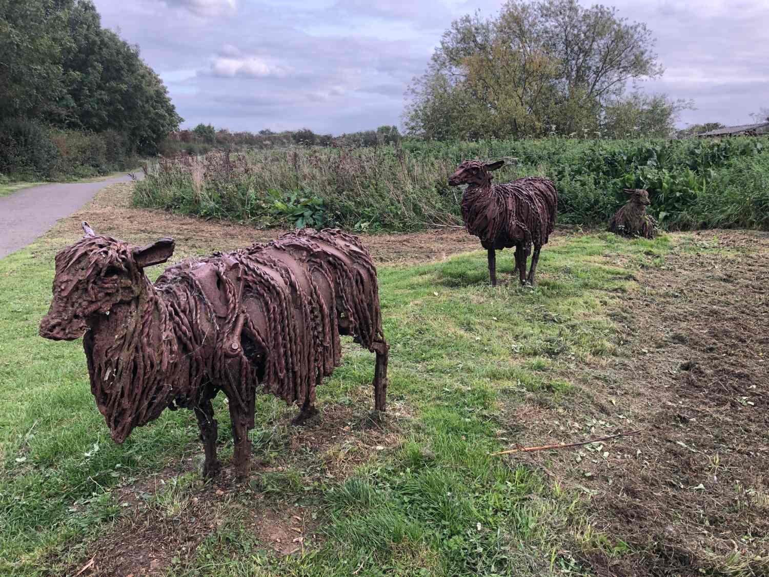
Sculptures beside Anton's Growt
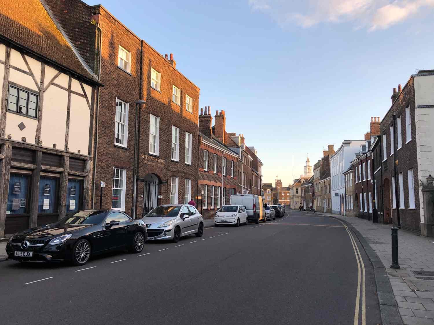
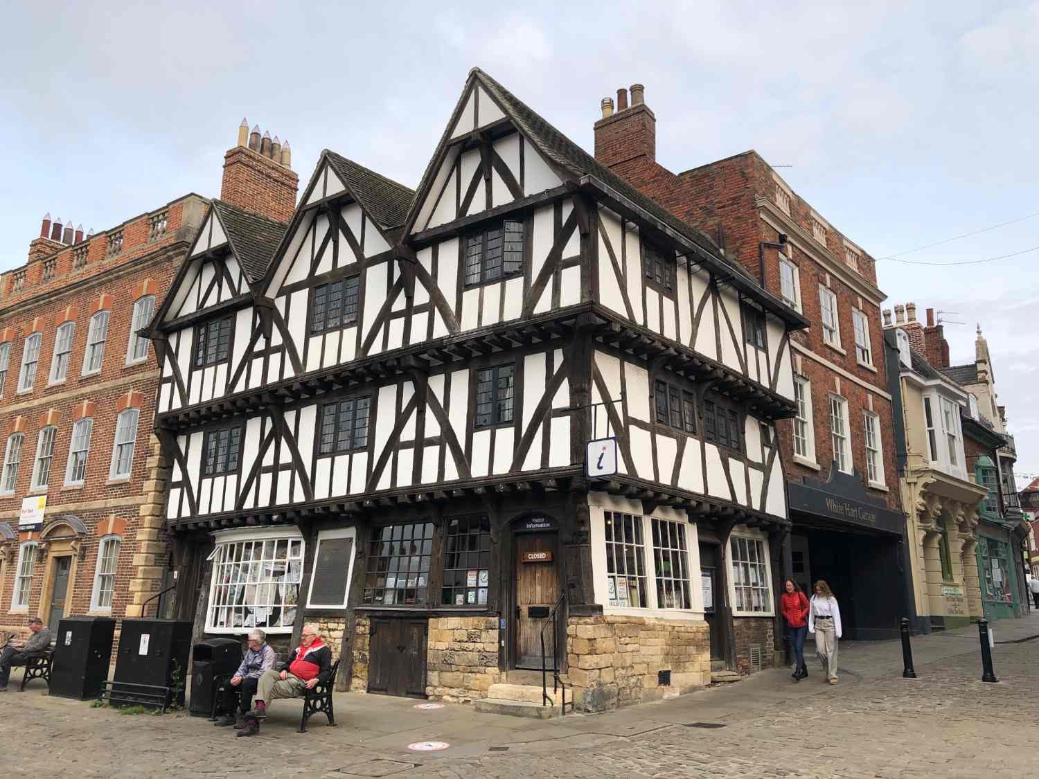
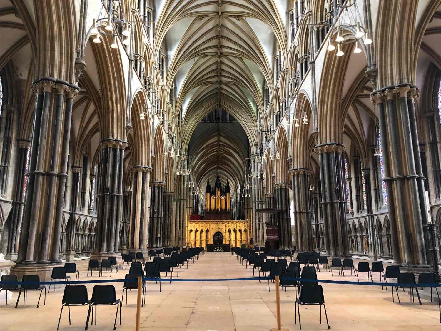
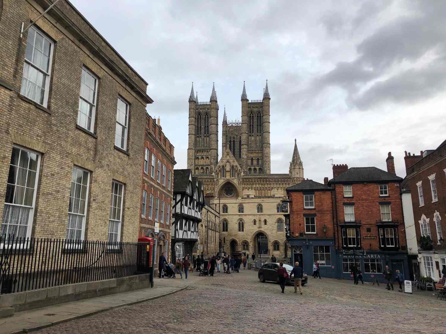
You’ll see Lincoln Cathedral for an hour or more in the velvet-light towards the end of the day, sitting on its hill, like some land-locked lighthouse. Even by today’s standards it’s still huge, but for 237 years, it was the world’s tallest building. Until that is, when the central spire collapsed in 1548. To arrive at its West Door, means a climb up the aptly named, Steep Hill, a few hundred metres of cobbles with an average gradient of 11%. It’s quite the finish to an otherwise flat as a flounder ride across the sky.

Steep Hill, Lincoln
Every route on this website has been carefully researched as well as ridden. However situations on the ground can change quickly. If you know of changes to this route, or cafes, pubs and the like which you think other cyclists need to know about,
feel free to share your thoughts below.
If you enjoyed this guide, why not subscribe to the website so as not to miss other inspirational routes?
wheremywheelsgo.uk is a Feedspot UK Cycling top website