NCN 1 Stage 20 Inverness to Tain

The oil rigs of the Cromarty Firth
Ride overview
Today, the twentieth stage of a 1264 mile ride up the eastern seaboard of Britain, comes to an end, for the NCN 1 formally finishes in the pretty, but unremarkable town of Tain on the Moray Firth. It was never the intention to finish here - but Sustrans who manage the National Network have decided to remove the route up to the Shetland Isles from the Network. They argue that the roads ahead are too busy for safe cycling. My own experience along with countless others who use the onward route as part of LEJOG, the NC 500 and other adventures all testify that the traffic is no worse than many other UK roads. In fact it’s considerably better most of the time. In an hour of cycling in mid September only 3 vehicles passed me. So if you wish to continue the route to the far north, you’ll have to switch to the North Sea Cycle Route, which will take you up to the farthest point of the UK on as safe a route as can be found. I strongly recommend continuing North, especially if you’ve ridden this far on Route 1. What happens north of Tain, is possibly the most dramatic and spectacular riding of the whole route from Dover.
The ride today, on this final stage of Route 1 is pretty straightforward, a well signed route out of Inverness leads to good cycle paths and quiet roads. You’ll ride through some forests, see lochs and firths and any number of redundant oil rigs.
Ride practicalities
The route is well signed throughout as NCN 1 until Tain.
START/FINISH: Inverness/Tain DISTANCE: 65km TOTAL ASCENT:103m TERRAIN AND SURFACES: quiet country lanes, cycle lanes RECOMMENDED CAFÈS/PUBS/ACCOMMODATION: Tain; Cafe 11, NEARBY MAINLINE TRAIN SERVICES: Inverness, Tain PLACES TO VISIT; LINKS TO OTHER RIDES: NCN1 stage 19, North Sea Route
Ride notes

Kessock Bridge
A well signed ride out of Inverness takes you to the Kessock Bridge which crosses the Beauly Firth before a long gradual climb up into the hills. It’s not steep, nor is the road busy, but it feels harder than it is. For the first part of the morning, you ride on a mix of well maintained cycle paths beside busy roads (no tree roots bulging through the tarmac as with so many English paths), quiet country lanes and a quiet-ish B road.

The Cromarty ferry times
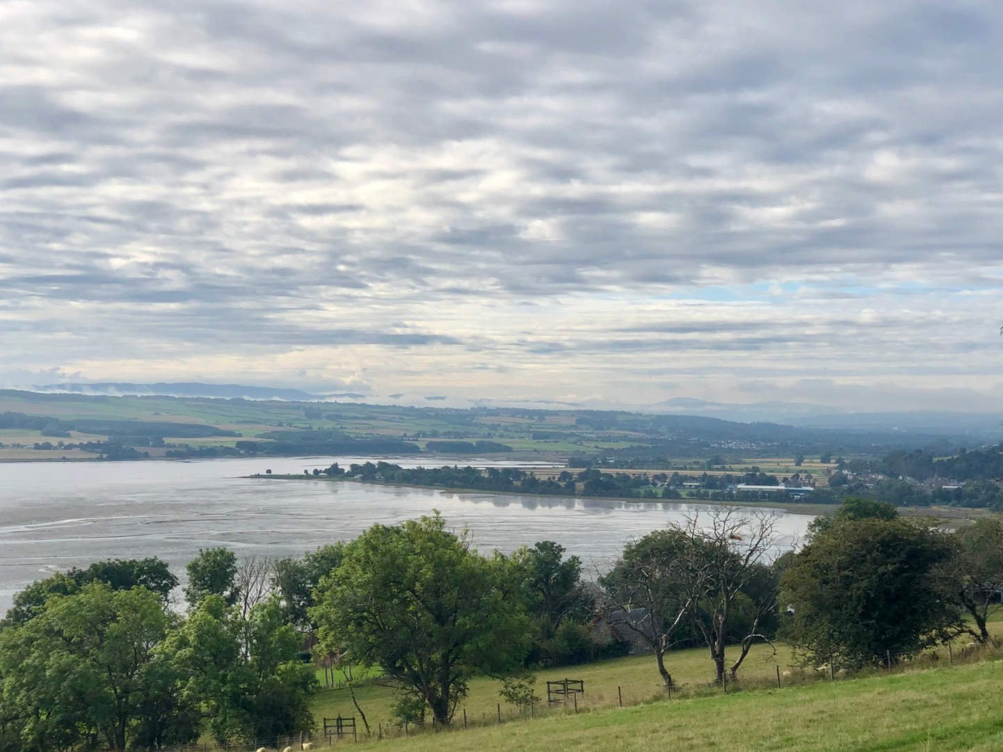
At Arpafeelie, you will need to decide on whether to ride alongside the Moray Firth to Cromarty where there’s a ferry to catch which takes you to Nigg, after which the route continues beside the Firth to re-connect with the main route in Tain. Or you stick to the more inland route which is hillier and rides alongside several forest plantations with fine views across the Firth. Your decision is likely to be based on 1) the weather, and 2) the time of year. The ferry runs from June to September providing the weather is not too stormy and runs approximately every half hour from 08.00-18.00. Ring 07468 417137 for updates before you head off to Cromarty. The route marked on the map above is the inland route, taken on a windy and wet day.
Anyone familiar with Jeff Wayne’s 1978 musical War of the Worlds, will look with some astonishment at the giant machines congregating in the Firth. “…..the chances of anything coming from Mars are a million to one they said……” As you ride, you might hear Richard Burton’s voice in your head, “No one would have dreamed that we were being scrutinised……” For against the back drop of dark hills rising out of a silver loch, there are up to a dozen of these giants, their red lights blinking looking as if they are ready to launch their columns of fire.
Moray Firth
They are not Martians. Too much time on a solo ride to the far north plays havoc with the imagination. Since the 1970’s and the discovery of the Forties Oil Field, Cromarty has been the base for both the construction, servicing and dismantling of the huge oil rigs. With the decline of the North Sea oil field, these now redundant platforms shelter from the sea’s storms whilst waiting for a tow to Turkey where they will be dismantled. Cromarty meanwhile, is turning its engineering expertise to the manufacture of wind turbines.
The way to Tain
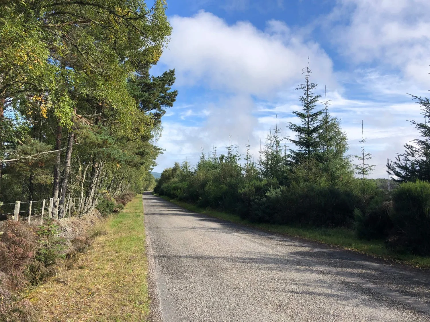
The inland route heads up hill on a narrow and almost traffic-free road beside forest plantations. The views over the Firth and to the oil rigs are magnificent. And as you climb, pines and sycamores, birch and rowan replace the barley fields of the lower slopes. It’s a sharp descent into Tain, where for now at least, this glorious National Route 1 ends. May the next leg be resurrected as part of the National Network soon, for what lies ahead is a truly special journey. Click here to continue riding north, or make your way to Tain’s train station and head home.
Every route on this website has been carefully researched as well as ridden. However situations on the ground can change quickly. If you know of changes to this route, or cafes, pubs and the like which you think other cyclists need to know about, feel free to share your thoughts below.
If you enjoyed this guide, why not subscribe to the website so as not to miss other inspirational routes?
wheremywheelsgo.uk is a Feedspot UK Cycling top website