NCN 3 Taunton- Bristol

Wells Cathedral
Ride overview
The final stage of the National Cycle Route 3 packs a lot of history into its 100 or so kilometres. Having breezed through the morning beside the serendipitous Great Western Canal, the route arrives in Bridgewater. Having admired the elegant merchant houses lining the old quay, you spin across the Somerset Levels passing a bloody battlefield and arrive in Glastonbury whose origins date back to Neolithic times. It was a thriving town when Joseph of Aramthea was said to visit - some say accompanied by the boy Jesus - and by medieval times, its abbey was one of the most powerful in the land. The town is a mecca for those seeking a less traditional way of life. Wells, on the other hand, is very much rooted in tradition. It’s medieval and Tudor streets are often used as backdrops for films, its cathedral one of the most spectacular in Europe. Before the finish, there’s one more National Landscape to cross, the Mendip Hills, a high limestone plateau. The final run into Bristol is on a traffic-free cycle path which takes you past its docks and cathedral and right into its beautiful heart, Queen’s Square, where the route officially finishes.

Ride Practicalities
START/FINISH: Taunton/Bristol DISTANCE: 112km TOTAL ASCENT: 923m TERRAIN AND SURFACES: Other than the first section which follows the firm earth towpath of the Great Western Canal, the route is entirely on asphalt RECOMMENDED CAFÈS/PUBS; Wells; Root, Bristol; Adelina Yard, The Highbury Vaults NEARBY MAINLINE TRAIN SERVICES: Taunton, Bristol LINKS TO OTHER RIDES: The West Country Way, The South West Way, NCN 4
*WMWG only list places for food, drink and beds which have met our strict quality standards. They will promote local growers, are independent who set high standards, but who are not necessarily the cheapest place in town.
Ride notes
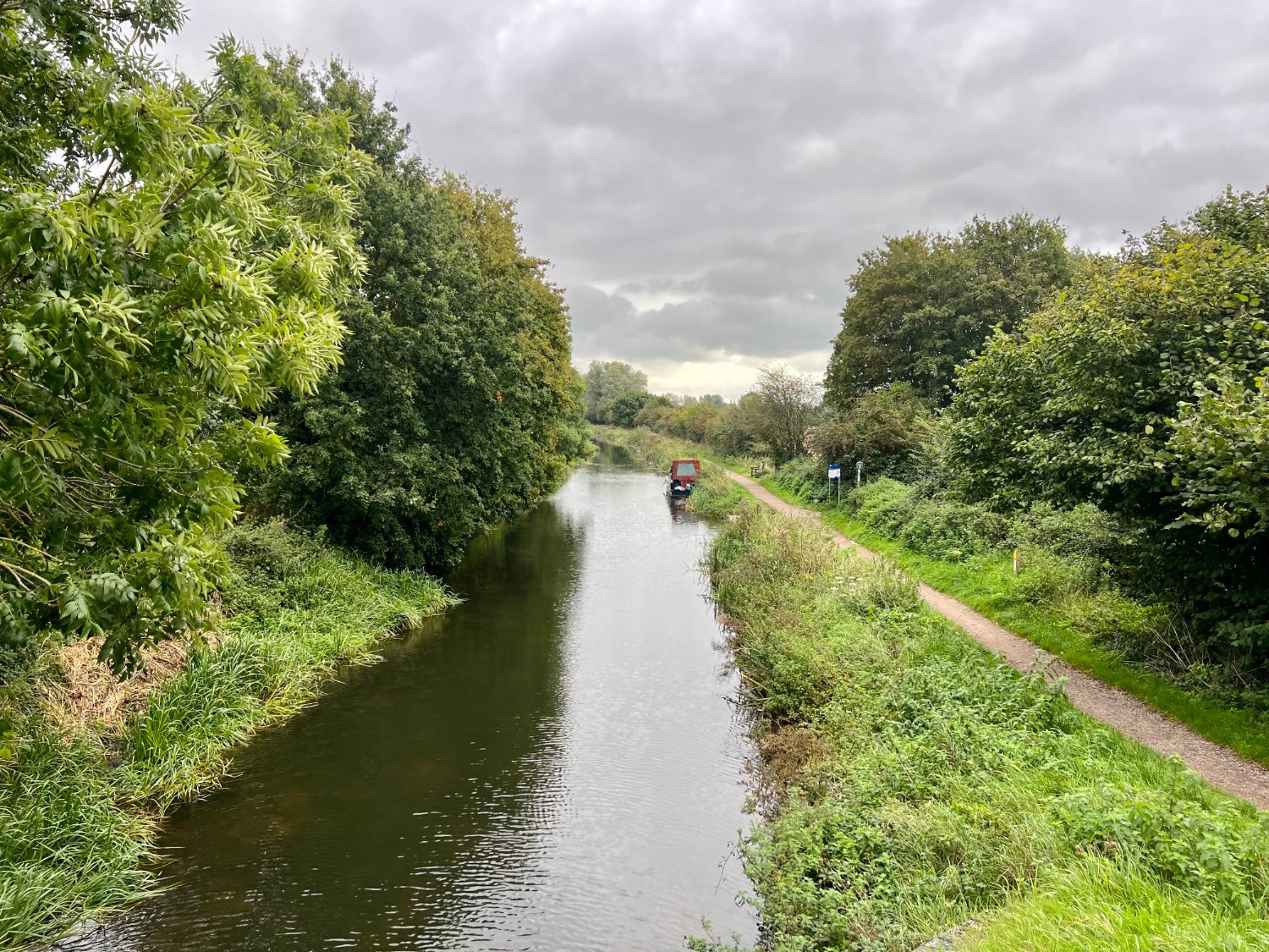
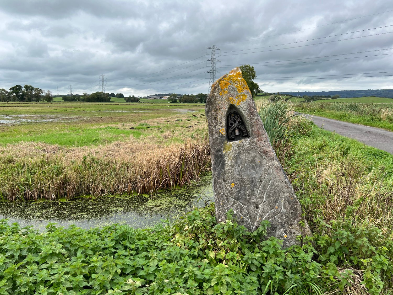
The Great Western Canal continues onto Bridgewater and the morning is spent riding across the flat Somerset Levels and peering over hedges to enjoy the cud-chewing cows, the green smelling grasslands, the orchids and many flowers along the banks and hedgerows. There are pill boxes too, remnants of the Taunton Stop Line, which formed part of Britain’s defence in World War II.

The Taunton Stop Line
The Levels are only 6m above sea level and despite huge investment in drains and channels, it continues to be very prone to flooding. The worst in recorded history was the Bristol Channel floods of 1607 when over 2,000 people were drowned or displaced and over 200 square miles of land were flooded. Recent events, although not as severe, have compromised the lives and livelihoods of many farmers. Nature, however, benefits from these inundations and the Levels are considered to be one of the most bio-diverse areas in England.
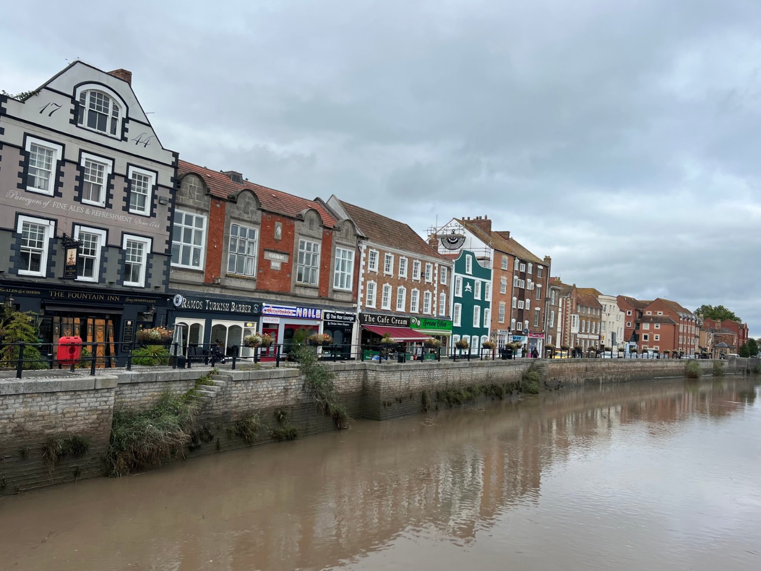
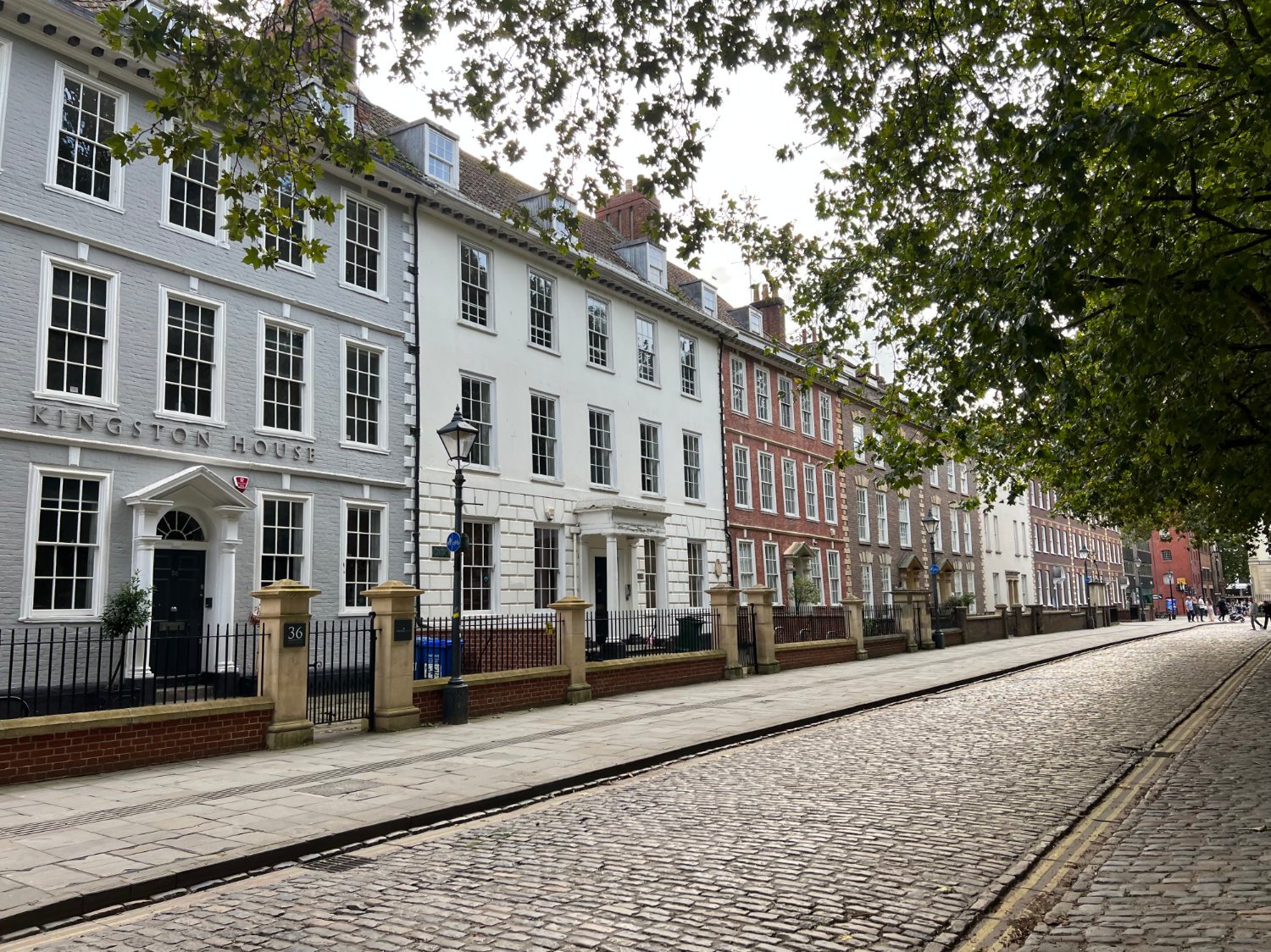
There are plenty of clues as you arrive in Bridgewater that it was a major in-land port; the wide river-side quays, the fine merchant houses, the wharves and iron bollards. The town exported bricks, tiles and stone quarried from the nearby hills, but a combination of the closure of the brickworks and the silting up of the Parret, led to its demise in 2010.

The rich history of Bridgewater
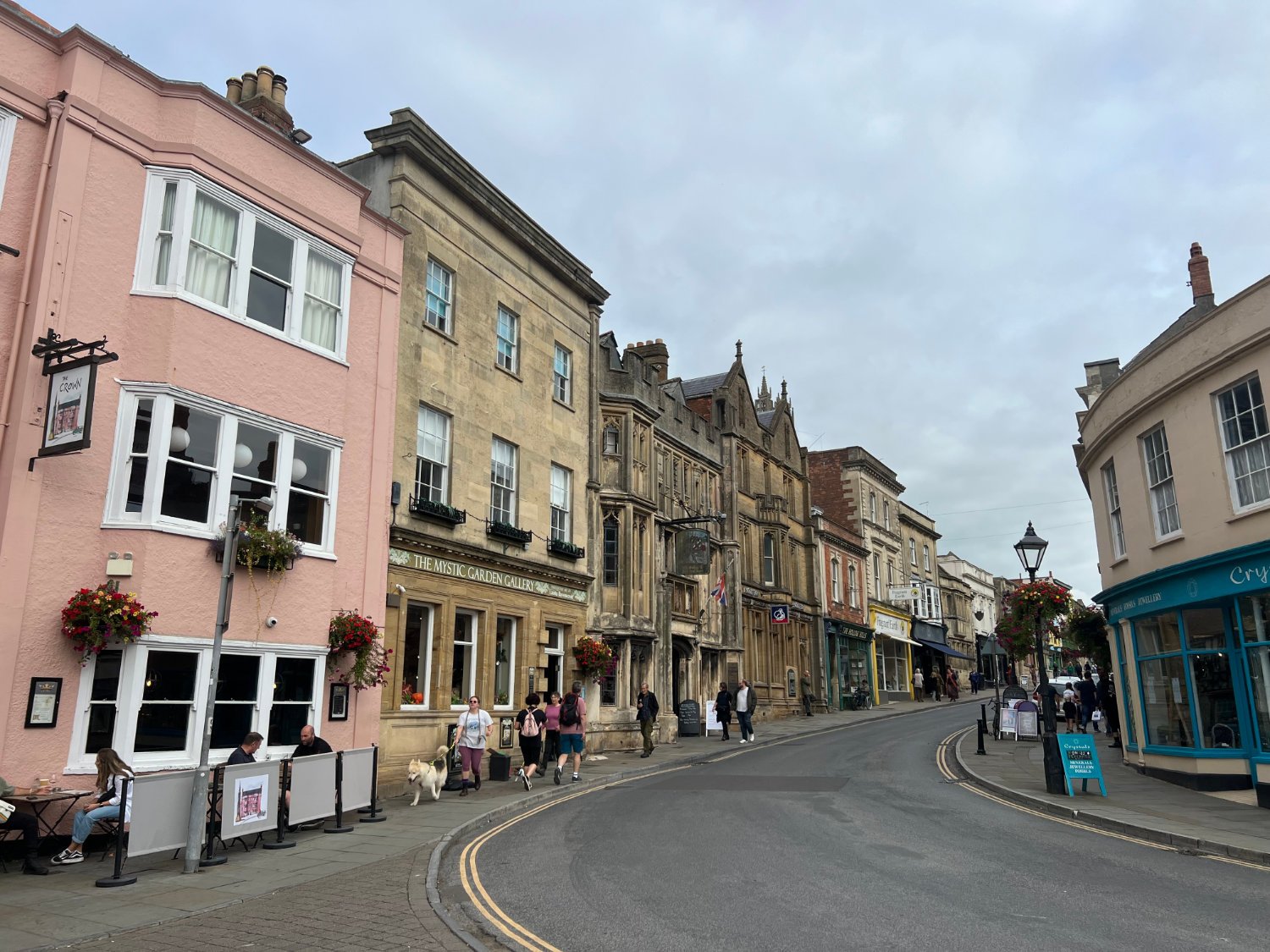
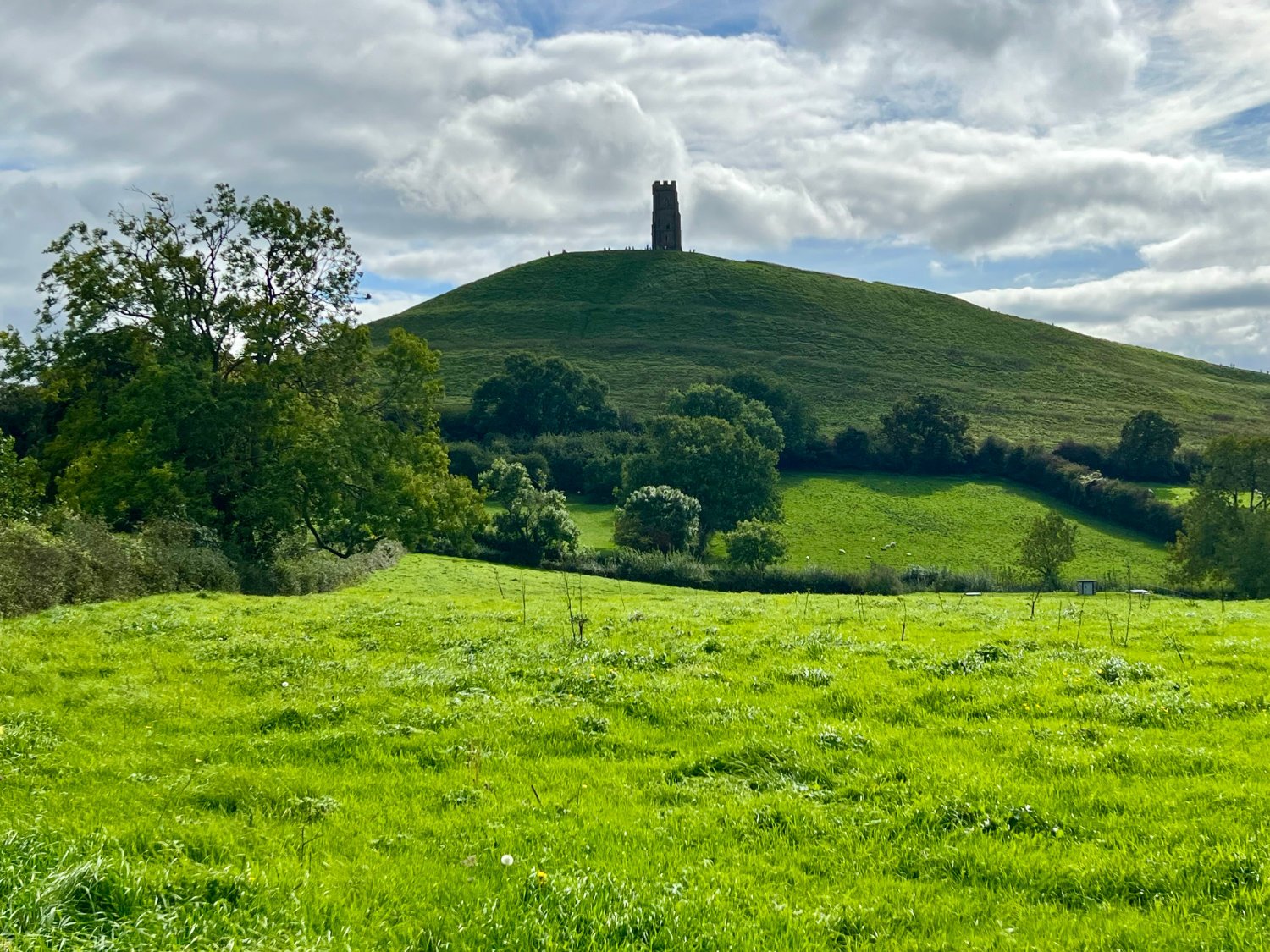
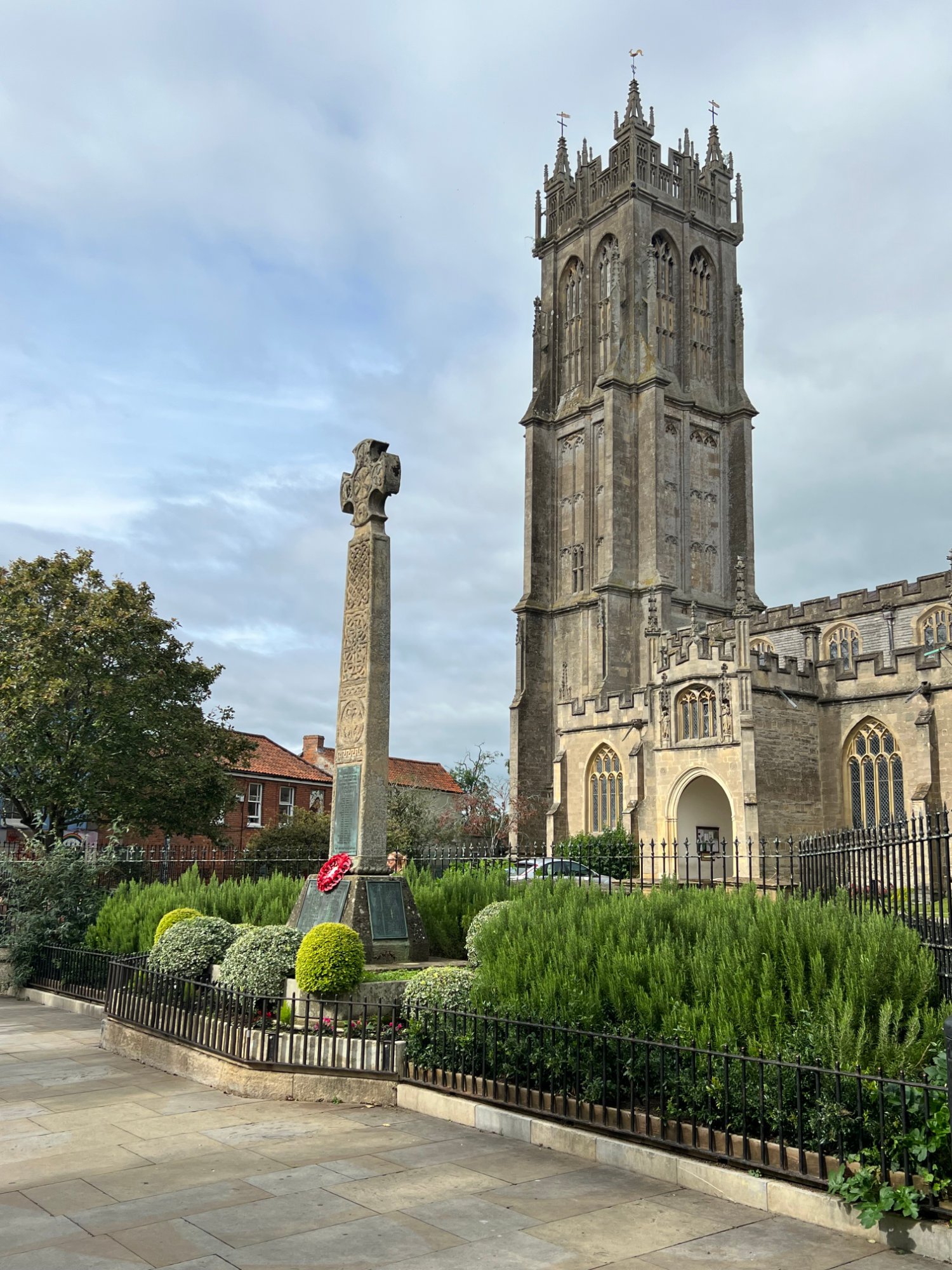
Unless you are attending, it would be best to avoid Glastonbury around the last week of June, when the annual music festival brings in tens of thousands of revellers. The town is one of the quirkiest towns in Britain. There are more vegan cafés, Druid emporiums, and Gothic fantasias than anywhere else in the country. Young people with exuberant hair extensions mingle with the older pink-haired generation, with both sets drifting around in colourful loose-fitting garments. The Abbey, which dominates the centre of the town, is where both Joseph of Arimathea and King Arthur are said to have been buried. Dominating the town is Glastonbury Tor, which has been a place of pilgrimage for thousands of years. Crowning the conical hill is a tower, the last remnant of the 14th church of St. Michael which was built to replace the one destroyed in the 1275 earthquake. The route skirts around the top of the Tor, before plunging down on a very narrow and gravel-strewn road. Once back on the Levels, it’s a short, flat ride to Wells.
Glastonbury Abbey
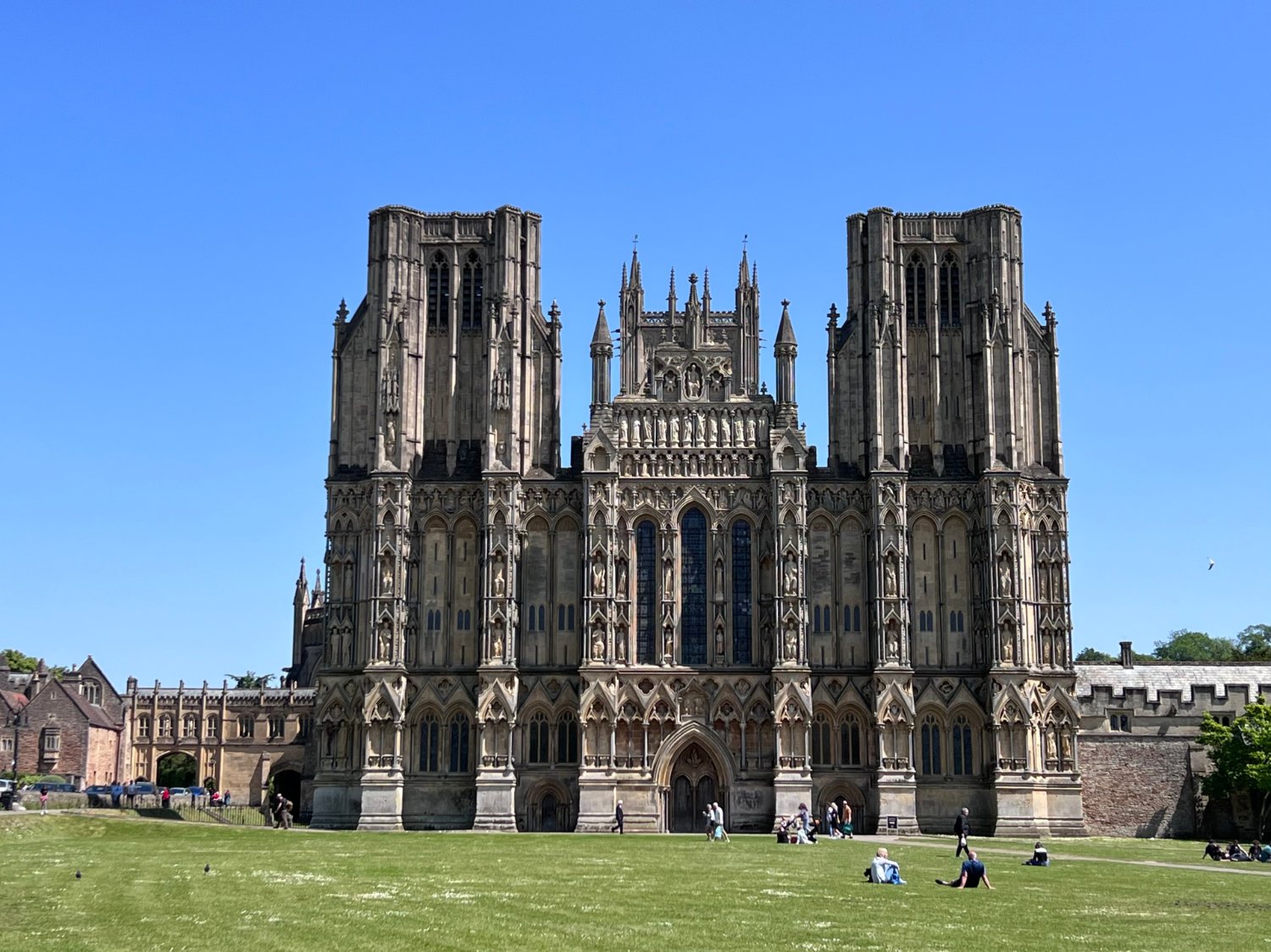
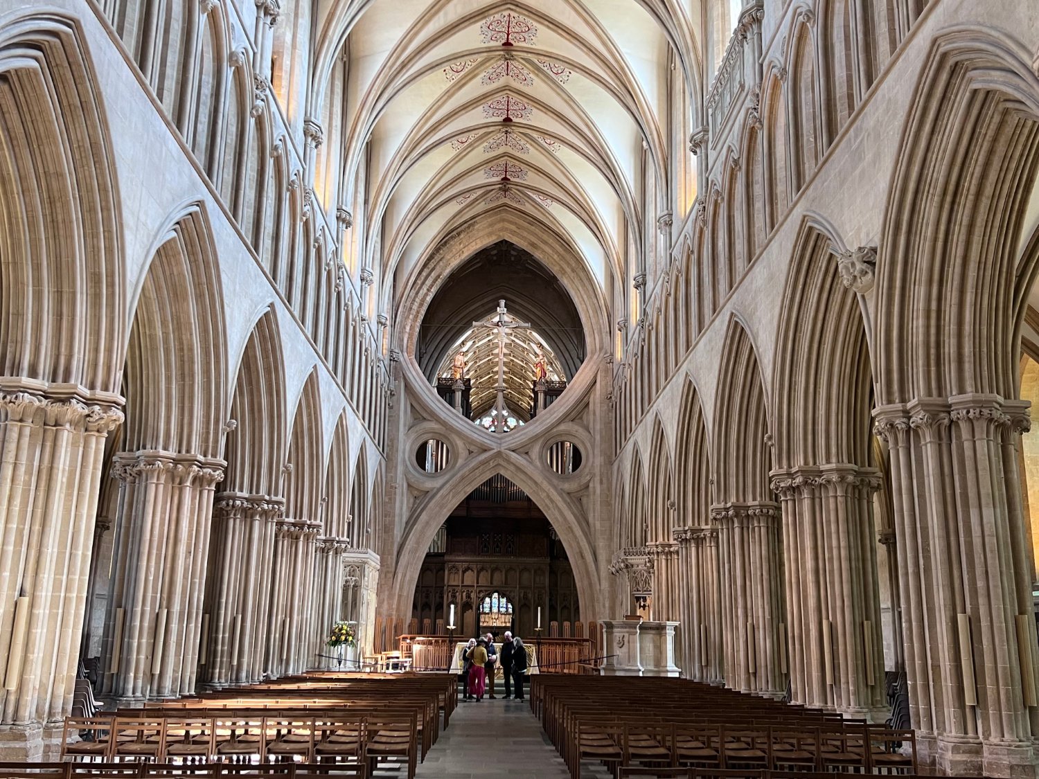
The well-preserved town has been used for many historical dramas, including the BBC’s Wolf Hall. There are any number of cafés and restaurants to rest up in, but it is the “most poetic of the English Cathedrals” which is the real draw. No matter your religious beliefs, the Cathedral is one of the most dramatic and beautiful stone buildings found anywhere in the world. Begun in 1175, it was the first cathedral in Britain to be built in the Gothic style. Over 300 medieval statues parade on the West Front and once inside, you’d be forgiven if you thought that the ‘scissor arch’ in the nave was a 20th century creation. After the 1275 earthquake had destroyed the original central tower, a new tower was built which strained and cracked the surrounding walls, so the master-masons of the 15th century created both an aesthetic as well as practical solution.

The Wookey Hole Inn
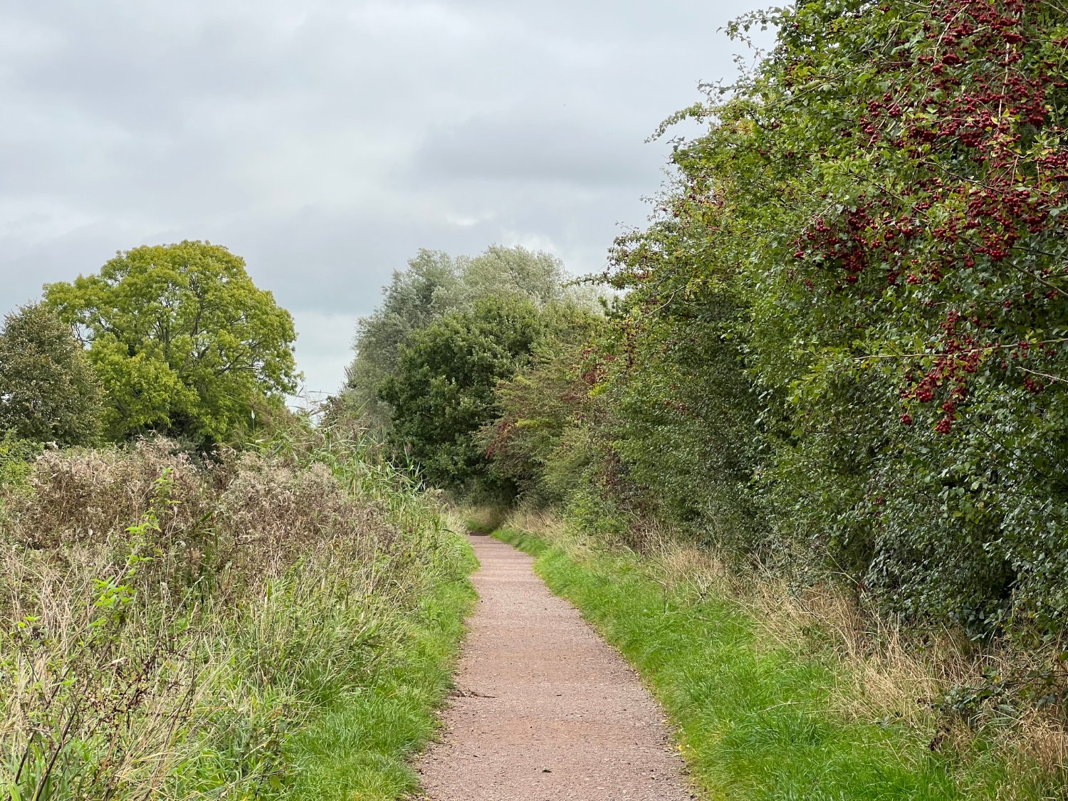
Leaving Wells, the route heads towards Wookey Hole, a pretty and very popular village which hosts large numbers visiting the spectacular historic caves which have been used by humans for at least 45,000 years. Rather like Land’s End, they have been marred by over commercialism.

Bristol Docks
A short and stiff climb takes you onto the limestone plateau of the Mendip Hills, a National Landscape, from where there are worth-stopping-for views especially looking back towards Glastonbury Tor. As you near Bristol and the journey’s end, a series of excellent cycle paths deliver you right into the heart of the city. The final few pedal strokes take you past the cathedral and into Queen’s Square which was until the beginning of the 17th century, the city’s rubbish dump. Today, the grand square makes for a rather formal and regal end to this often wild and alway spectacular journey across the South West of England.
All the details given on this route are given in good faith. However, situations on the ground can change, so if you know of any access issues, closures, or have any thoughts and feedback on the route, please include them in the comments section below.
wheremywheelsgo.uk is a Feedspot UK Cycling top 20 website