Hayle to Land's End

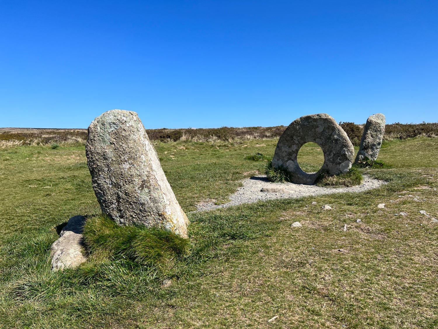
Mên-an-Tol
Route Overview
The final day of the London to Land’s End bikepacking route is spectacular; it is surely one of the best gravel/adventure cycle routes in the land. The North Cornish Coast is a mass of vertiginous cliffs, along which are scattered the remnants of the Cornish Tin and Copper mines. Chimneys and ruined engine houses stand ruined and stark on cliffs with the restless sea below. Before reaching this spectacular UNESCO coast, the route passes many ancient British sites, as mysterious and enigmatic as could possibly be. The riding is sometimes rough as you ride the old tinner’s tracks across moorland, and there might be an Atlantic wind to contend with but that said, whatever the weather, it is brilliant day on a bike.
Ride Practicalities
START/FINISH: Gwinear/Penzance DISTANCE: 73km TOTAL ASCENT: 905m TERRAIN AND SURFACES: Narrow lanes, rough tracks across moorland and on the coast. Quiet lanes following the NCN3 to Penzance RECOMMENDED CAFÈS/PUBS; Cafes in Hayle, St. Just and Land’s End VISIT: Chysauster Ancient Village, Mên-al-Tol, Boskednan Stone Circle, Geevor Tin Mine Museum, Crowns Engine Houses, Botallack Mine, Land’s End NEARBY MAINLINE TRAIN SERVICES: Penzance LINKS TO OTHER RIDES:NCN3, West Kernow Way, The South Coast Way
To go to stage 7, click here
Ride Notes
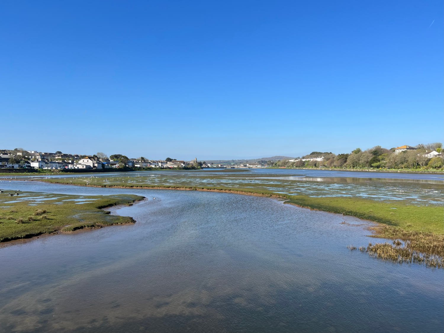
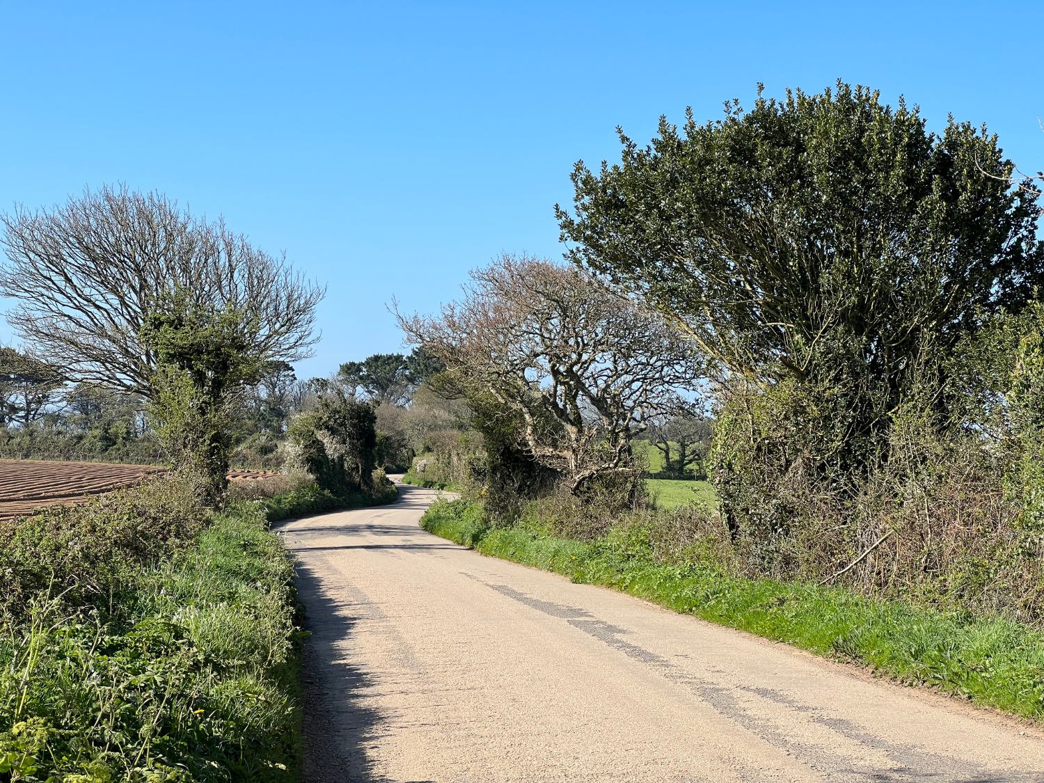
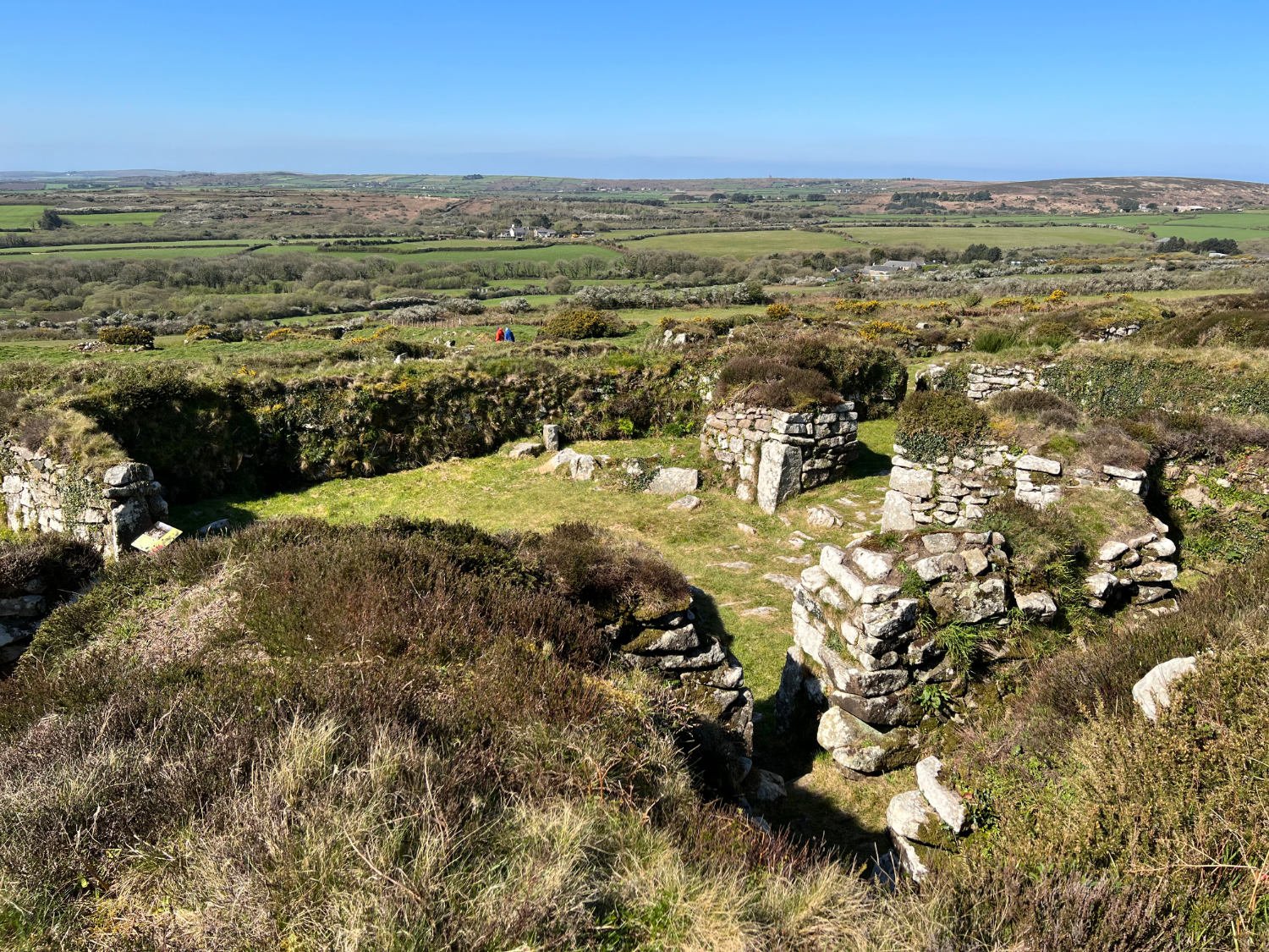
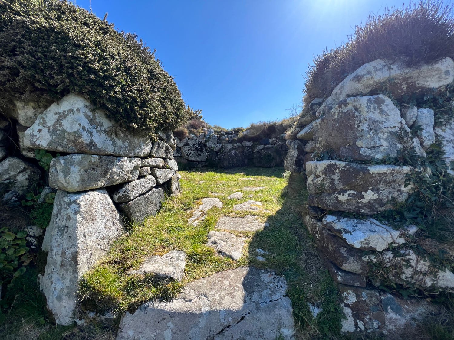
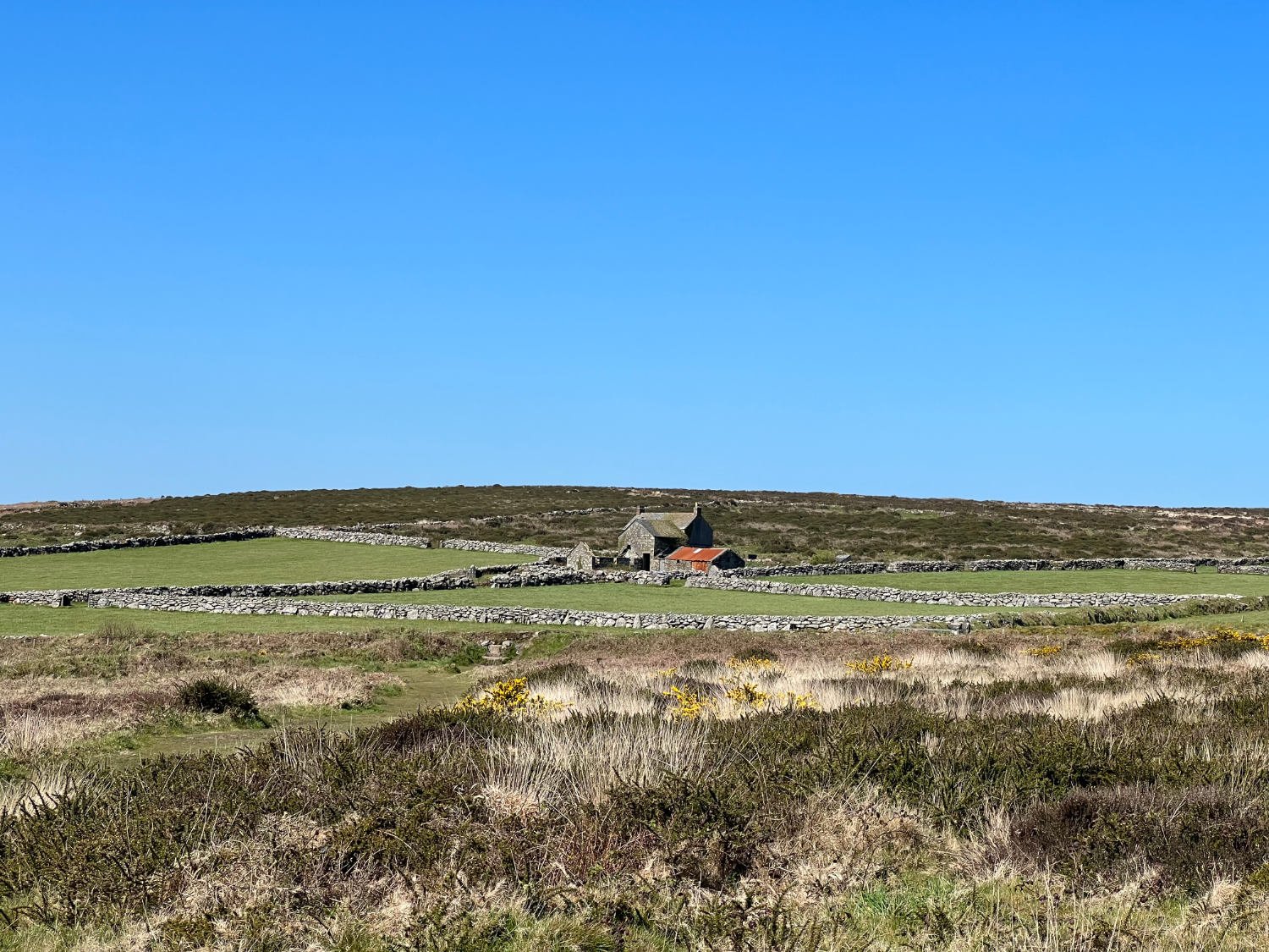
If you have been staying at the Royal Standard in Gwinear, the day begins with a fast and glorious downhill run to the Hayle Estuary, after which there are a succession of small and increasingly narrow lanes which bring you to Chysauster, one of the best preserved Ancient Briton villages in the land. Set amid the rugged beauty of Cornwall’s high moors, this ancient settlement was lived in during the Iron Age and Romano-British period. As an insight into the lives of the conquered Britons, there are few better places; park the bike - (there are bike racks) and break your journey in order to wander around the courtyard houses, round houses, garden plots and through the underground tunnel know as a ‘fogou’.

Chysauster
Resuming the journey, the road heads up onto the high moor, before taking a rough track across it. The track, which is often little wider than a tyre width, can be challenging and there are a few places where it is easier to hike-a-bike, than ride. However, the untamed setting makes it a worthwhile endeavour! After 21km, there comes a succession of ancient sites - most dating from at least the Bronze Age; Boskednan Stone Circle, a Barrow, White Down Longhouse, and Mên-al-Tor; all demand time to wonder and wander on foot.

Boskednan Stone Circle
Mên-an-Tor - meaning ‘holed stone’ in Cornish - has magical and curative powers. Whilst you may not need a cure from tuberculosis or rickets, you may have some back pain after the bumpy ride across the moor. If this is the case, passing through the stone is said to aid recovery. With its obvious female symbolism, the stone is said to aid fertility and ease childbirth.


The bumpy tracks across the moor continue. You may be accompanied by red kites or buzzards gliding above you. The smell of the sea will lure you. The open moor, the lack of people even in high season, and the freedom of being on a moor in sight of the sea, is what a cycling adventure is all about.

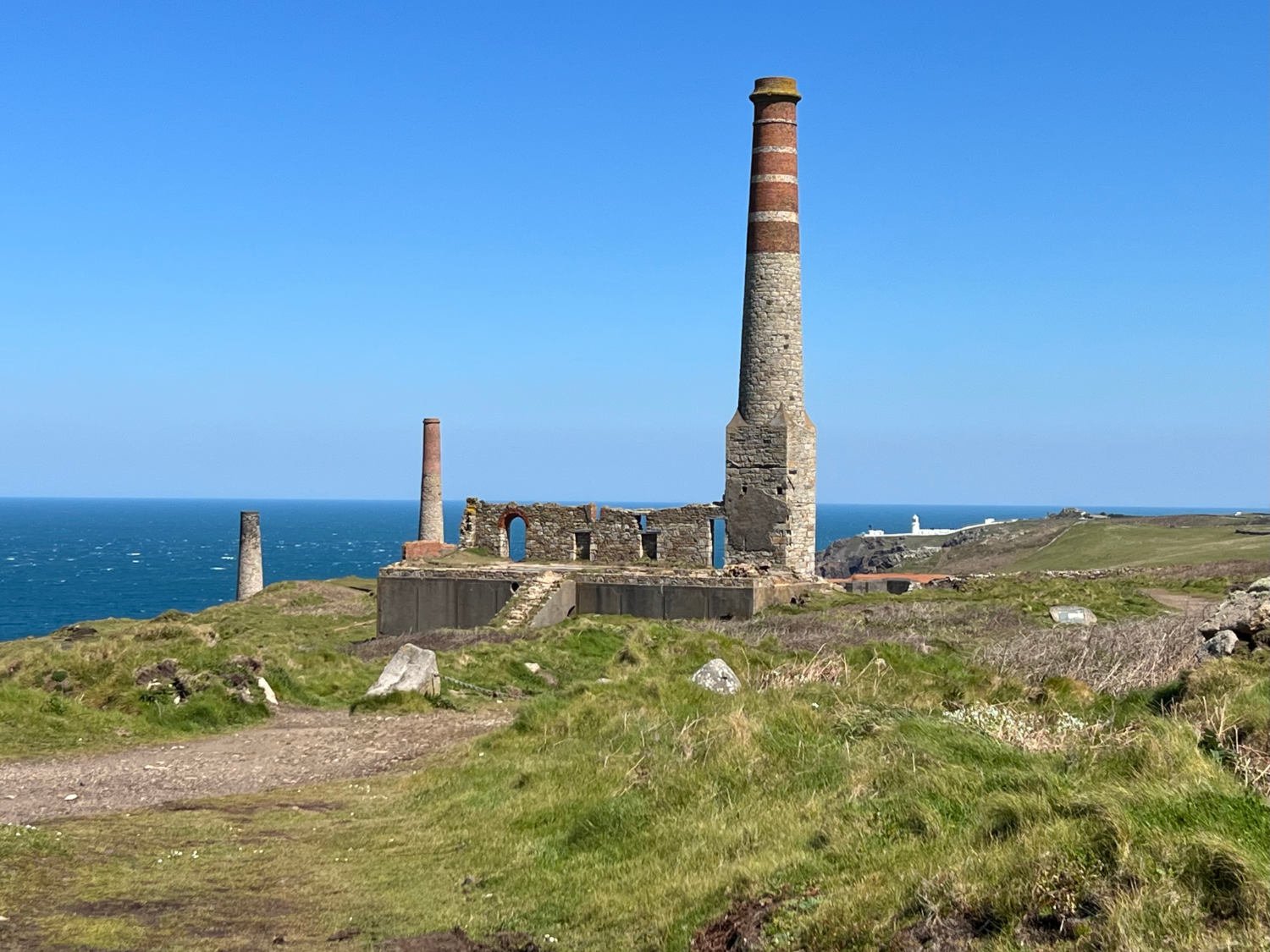
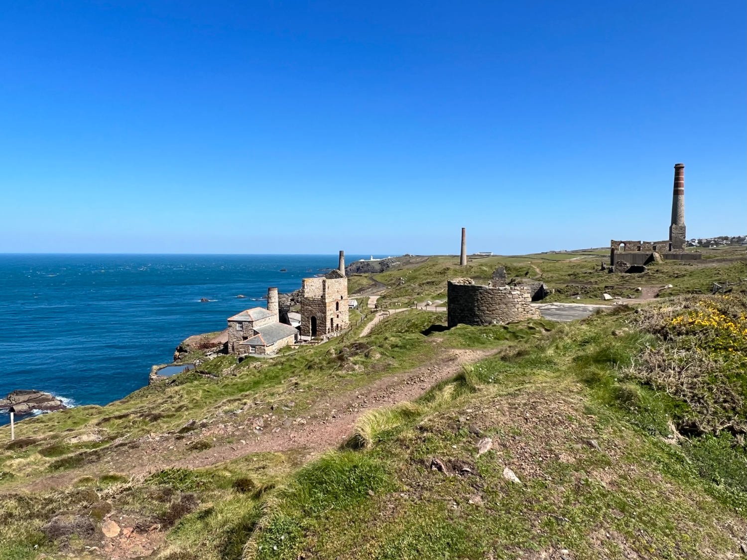
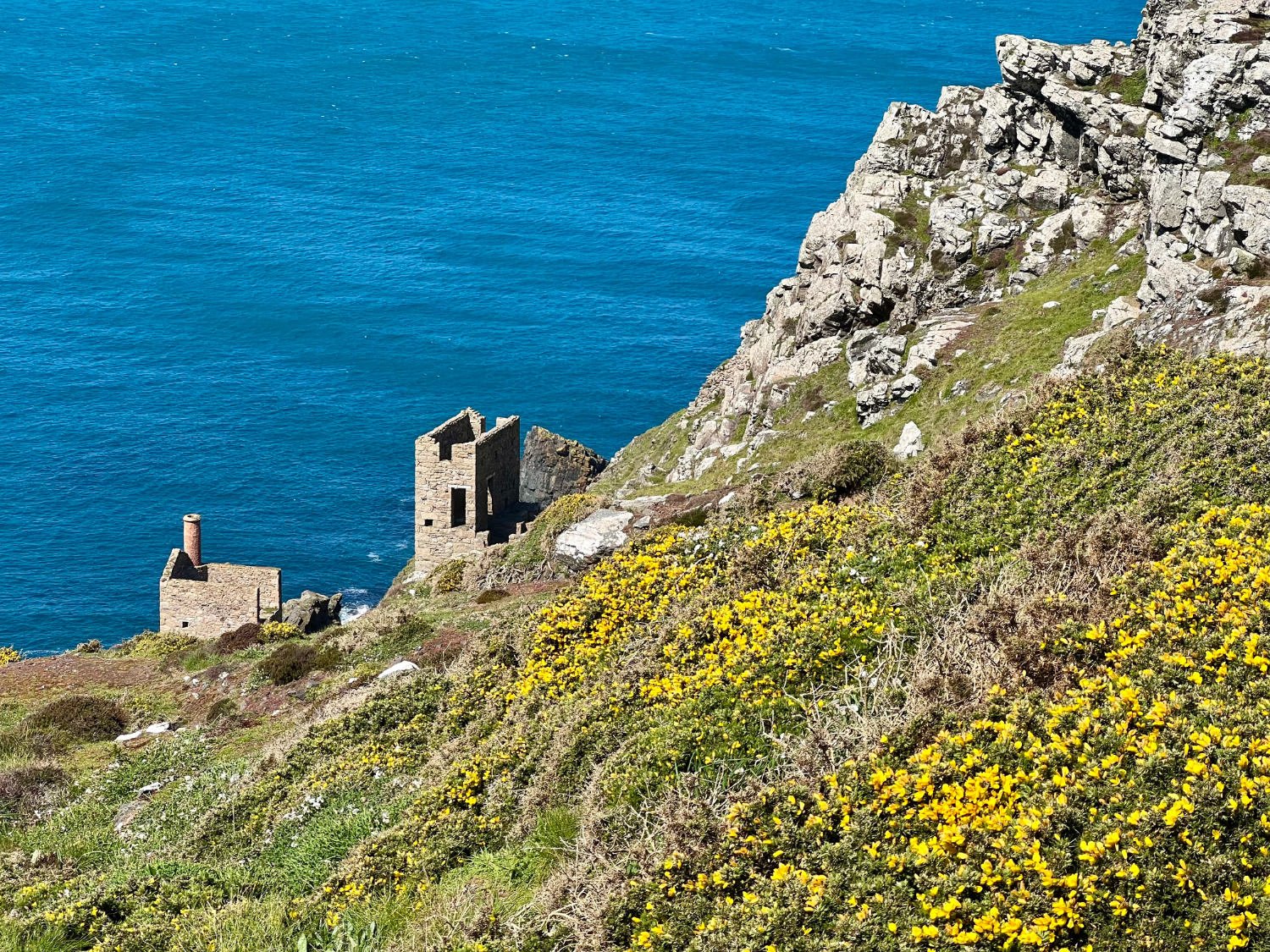
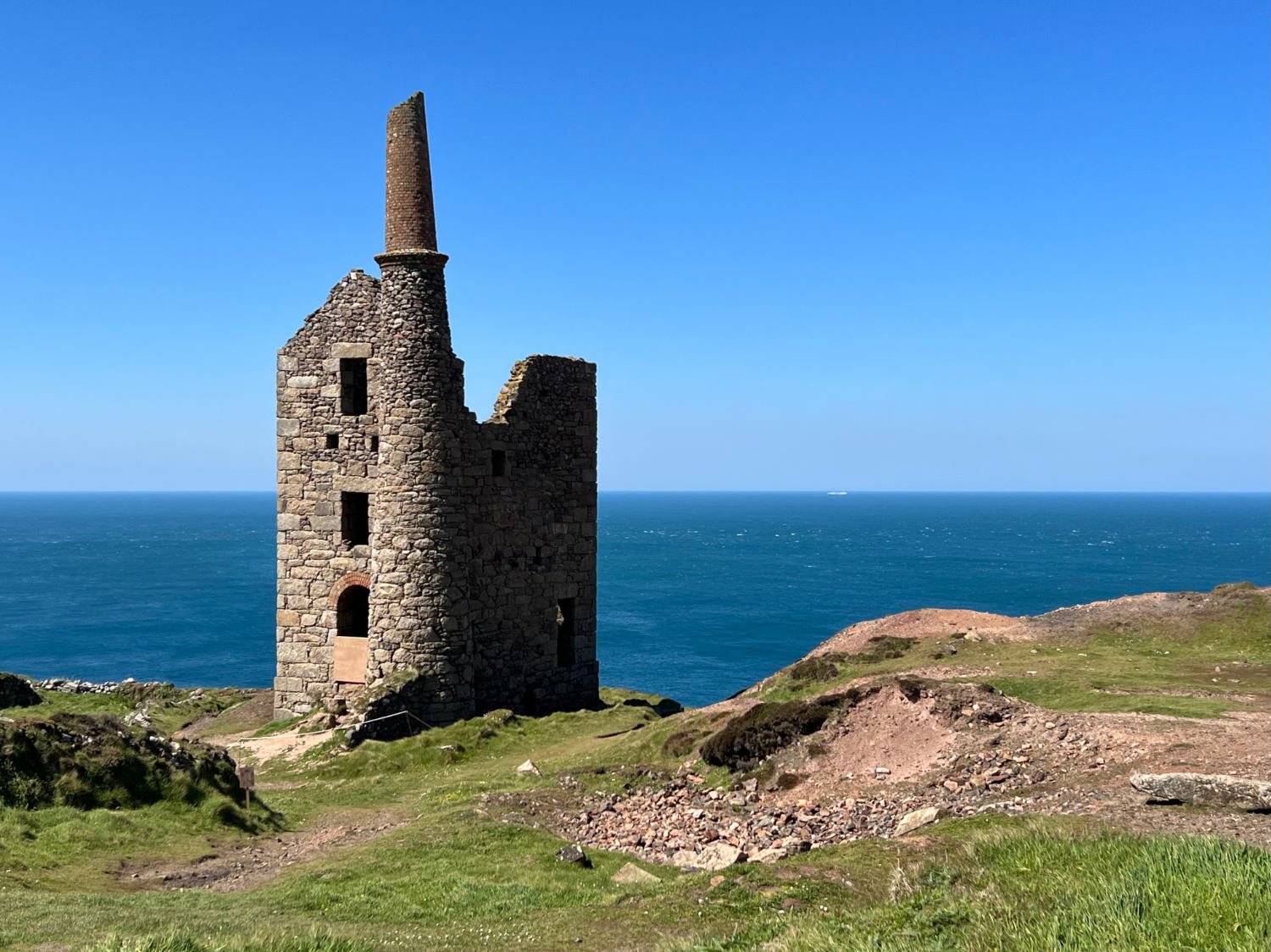
The final movement in this fabulous journey, is the North Cornish Coast and the remnants of the tin mines standing haunting and stark on the cliffs, high above the deep blue sea. The riding is all off road, other than a short section outside St. Just. The wind whistles off the Atlantic, gulls play in the air, the bike wheels bounce along the tinner’s track on the cliff high above the waves. It is quite extraordinary just what those miners had to endure; perilous cliff descents to the shafts, then mining with picks twelve metres under the sea with the noise of the waves above them rushing in their ears. The Crown Mine at Botallack is perhaps the most picturesque, with its engine house positioned on a cliff touched by the waves.
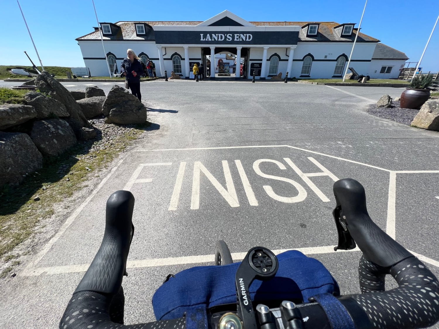
For over two thousand years miners have hacked away at Cornish rock in the search for tin and copper. Now named The Tin Coast, the ride along the cliff-tops past the empty shells of engine houses and chimneys is one of the most memorable in the whole of the UK. There were - or are - thousands of mine shafts along the coast. Some mines stretched out for a mile or more under the sea, with the miners hearing the rushing of the waves just above them. As you ride, Cornish choughs which look like rooks only their beaks and feet are a mustard yellow, glide around the cliffs, and the waves continue to thrash away at the rocks. Aftger Cape Cornwall, there’s a short climb, followed by a short road section, and then you’re onto the paths which lead to Land’s End. It is a commercial mess, owned by Heritage Great Britain plc, full of shops selling tat, and cafés selling the worst of food. It is not a place to linger.
Since there are no trains at Land’s End, you are obliged to ride onto Penzance, a characterful town, where you may wish to celebrate the end of your ride in the suitably quirky Admiral Benbow, or the Turk’s Head next door.
Every route on this website has been carefully researched as well as ridden. However situations on the ground can change quickly. If you know of changes to this route, or cafes, pubs and the like which you think other cyclists need to know about, feel free to share your thoughts below.
If you enjoyed this guide, why not subscribe to the website so as not to miss other inspirational routes?