91km Drewsteignton to Minions
Ride Overview
A day which will stay long in the memory - not least for its sharp hills, open moorland, granite rock and tin mines. The route showcases the very best of the South-West’s inland country, from the narrowest of rough lanes, to ancient tracks used since Neolithic times, and market towns. Of course the high point - quite literally - is the brooding and dramatic Dartmoor, one of England’s finest National Parks.
Ride Practicalities
START/FINISH: Campsites at Clifford Bridge (Sweet Meadows)and Minions (Cheesewringer Farm) DISTANCE: 89km TOTAL ASCENT: 1549m TERRAIN AND SURFACES: Narrow lanes, rough tracks across moorland and through woodland RECOMMENDED CAFÈS/PUBS; Chagford: The Folklore Kitchen and Social, Dartmoor; The Warren House Inn, Darite; The Crow’s Nest NEARBY MAINLINE TRAIN SERVICES: Liskeard LINKS TO OTHER RIDES:
N.B. The map shows a loop from Minions to the Crow’s Nest pub at Darite. In reality, you cannot cycle down the Caradon Valley, so use the direct route to walk through the spectacular UNESCO Heritage valley, or ride along the road to Derite and the Crow’s Nest.
To return to stage 5, click here
To go to stage 7, click here
Ride Notes
Riding alongside the River Teign, through the still summer woods on an early summer’s morning is a glorious way to begin a day. You ride on a firm path with an ancient moss covered stone wall on one side and the steep hill of the valley on the other.
Fingle’s Bridge
Once out of the woods, there’s some early ups and downs through deep lanes before breath is regained in Chagford. This market town, made prosperous by the medieval wool trade, has a more continental feel than a British. one; there are many independent shops selling local produce including an array of locally produced cheeses and meats. The big chains who have blighted so many towns are noticeable by their absence. There’s a huge 13th century church, a castle and much photographed market house. And for those who skimped on breakfast before setting out this morning, there is the fabulous Folklore Kitchen and Social.
Chagford's market house
From Chagford, the way is up, and up some more until you reach the heights of Dartmoor. Steven Spielberg said after filming on the moor, “I have never before, in my long and eclectic career, been gifted with such an abundance of natural beauty as I experienced filming War Horse on Dartmoor.” Neolithic stone circles, Bronze Age barrows, Medieval pilgrim crosses, wild ponies, sheep and brooding hills fill the beguiling landscape. The road across the moor can be busy in the height of summer, but there is a strictly enforced speed limit. However, early-ish on a summer morning, or a day out of season and you will have the rolling road and the moor all to yourself.
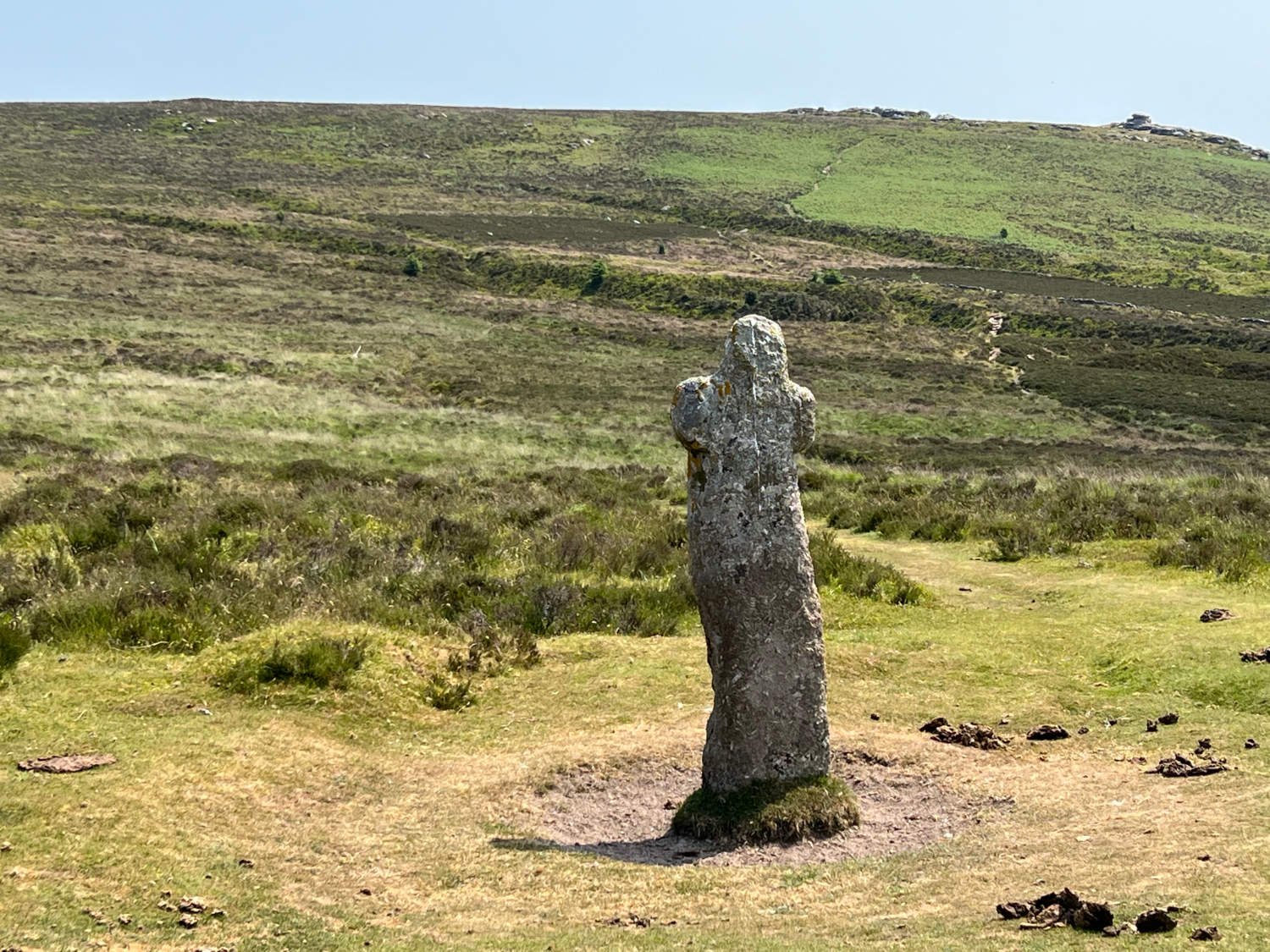
One of the many curiosities which you pass, is Bennett’s Cross. No one knows how a medieval Pilgrim’s Cross which was roughly carved out of a single piece of granite got its name - one theory is that ‘Bennett’ is a Medieval corruption of Benedictine - the cross as marking a route between the Benedictine Monasteries at Exeter and Tavistock. It stands in an area known as the ‘Warren’ which in the heyday of the tin mines, was well known for its supply of rabbit meat to the tinners of the nearby Vitifer Mines.
Bennett's Cross
The reward for the long climb, is a long descent to Postbridge, where there is a clapper bridge first recorded in 1308. The name ‘clapper’ derives from cleaca, meaning 'bridging the stepping stones.'
The clapper bridge at Postbridge
There follows a long and scenically stupendous haul up to Princetown. There, the infamous and austere prison, built by Napoleonic prisoners of war, stands like an imposing fortress.
Dartmoor prison
Princetown, is a pretty much exclusively a town which houses prisoners and their warders. There are a couple of cafes and a Dartmoor information centre, but otherwise there is little to detain you. The route now heads onto the wild moor itself on the old Princetown Railway track. The track opened in 1893 with the purpose of transporting prisoners, prison officers and supplies to the prison, as well as tourists and granite from the quarries. At its height in the 1940s three passenger trains and two service trains serviced the line. The riding is spectacular with views to down to the sea and up to the north Devon Hills. In misty weather you may feel as if you are arriving at the end of the world itself.
The Yelverton-Princetown Railway Line
The line finishes at Burrator Reservoir, where you join quiet and narrow roads (marked as NCN 274) to Tavistock. The route now enters a UNESCO World Heritage Site - The Cornwall and West Devon mining Landscape, through which you now ride until Land’s End. Tavistock is the only Devon town to be listed as a World Heritage town and as with Chagford, the town profits greatly from the lack of international chains.
Narrow Cornish lanes
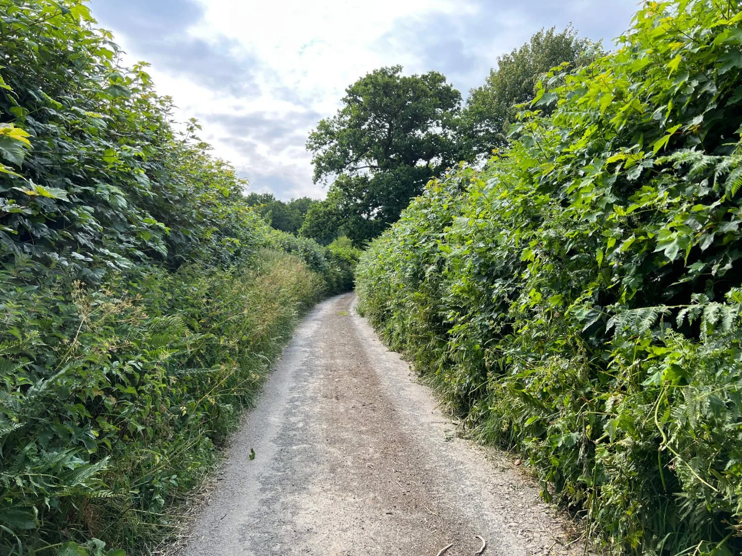
The further west you ride, the rougher and harder the terrain. Roads become lanes, which become tracks. Hills are ever present and often steep. The country mixes the wild with the pastoral, cottages are few, but where they exist they’re exquisitely pretty with their slate roofs and thick-stoned cob walls. Over rivers there are arc’d stone bridges weathered by the waters of many centuries. It makes for a challenging ride, but so lovely is the landscape that even when your legs are whinging about the next hill, you really don’t want the day to end. But end it does, at the small campsite on the edge of Bodmin Moor at Cheesewringer Farm.
Caradon Mining District at dusk
With the tent up and the body washed, the day is still not ended, for now you swap your wheels for your feet. The one and a half mile walk from the campsite to the Crow’s Nest pub through the UNESCO Heritage landscape, is spectacular. You follow the old tramlines past gaunt chimney stacks and roofless engine houses. The landscape is surreal - a mixture of slag heaps and gorse. For fifty years (1840-1890) this was one massive industrial area, famed nationwide for its copper. Fortunes were won and lost as miners excavated by hand, huge quantities of copper ore only to see flooding and collapsing ruin investments. To walk back from the pub in the dusk through this hauntingly silent landscape is one heck of a way to finish a day.
Every route on this website has been carefully researched as well as ridden. However situations on the ground can change quickly. If you know of changes to this route, or cafes, pubs and the like which you think other cyclists need to know about, feel free to share your thoughts below.
If you enjoyed this guide, why not subscribe to the website so as not to miss other inspirational routes?


