59km The Western Weald
White's Green Road, Hoyle
Winter Anvils of frost and iron
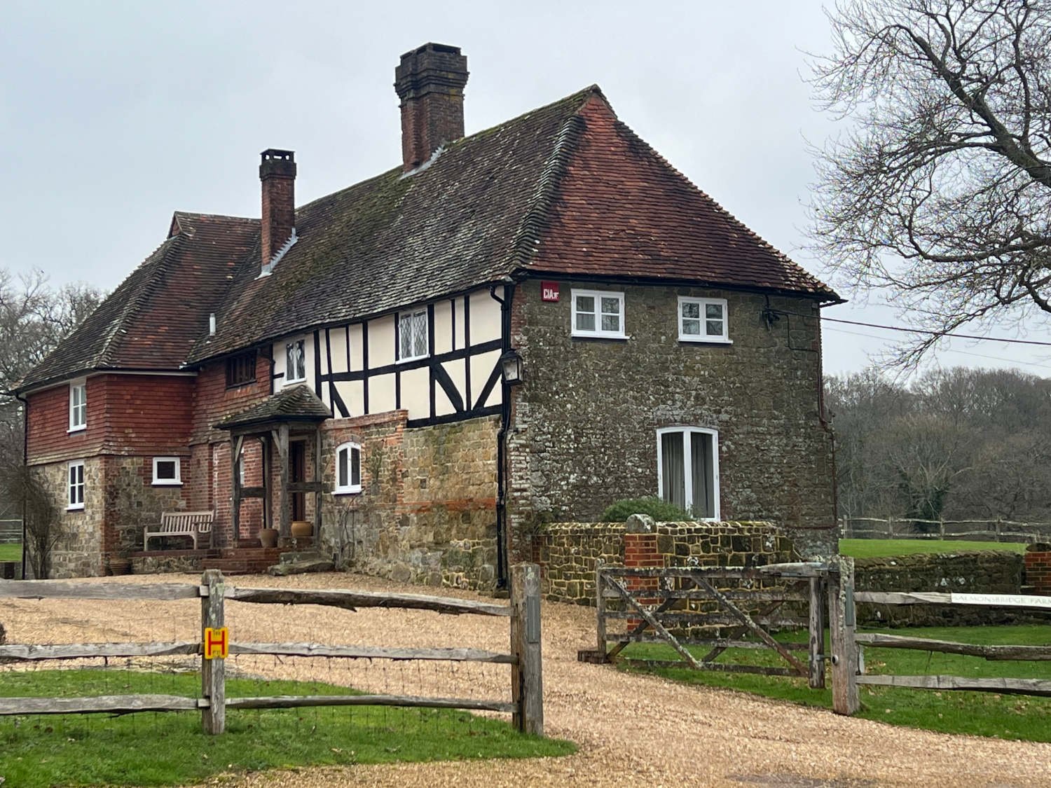
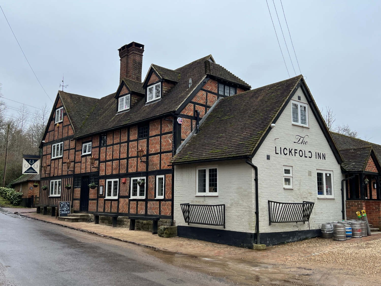
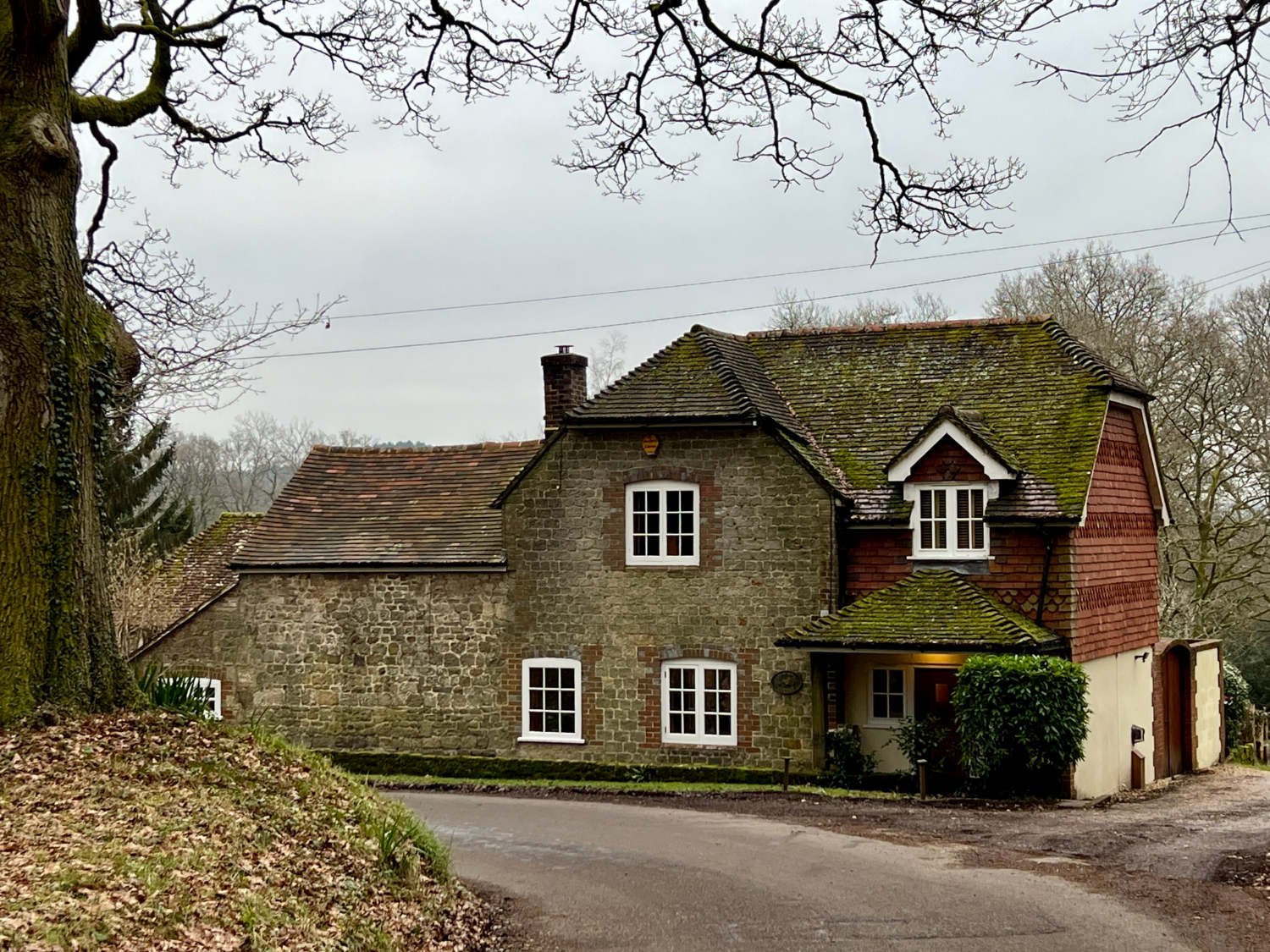
The route is a pastoral idyll; a ride through what we have come to regard as what rural England should look like. Narrow lanes roll over gentle hills, connecting impossibly lovely houses, horses graze in small fields and woods are everywhere. The few villages that the route passes through are replete with timeless English things; a clutch of photogenic cottages around a green, a shop, a church and a pub. Of course, the route is a dream in any season; bluebell carpeted woods in spring, richly green in summer and colour-stained in the autumn. Winter too has considerable charms, and the route outlined below was ridden on a mid-winter’s day. It was wonderful.
Ride practicalities
START/FINISH: Liphook DISTANCE: 59KM. TOTAL ASCENT: 713m TERRAIN AND SURFACES: Narrow country lanes which can be muddy and rutted. There is one short stretch - 2km - of a gravel track, which is perfectly rideable on road tyres MAINLINE TRAIN SERVICES: Liphook LINKS TO OTHER RIDES: NCN 22. RECOMMENDED FOOD AND DRINK; Lugarshall; The Noah’s Ark Inn, Lickfold; The Three Horseshoes, Selham; The Three Moles, Elsted Marshes; The Elsted Inn
Ride notes
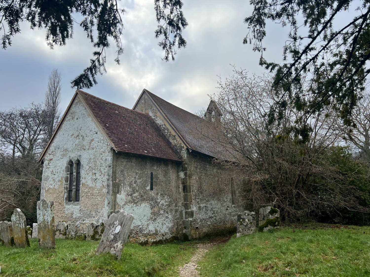
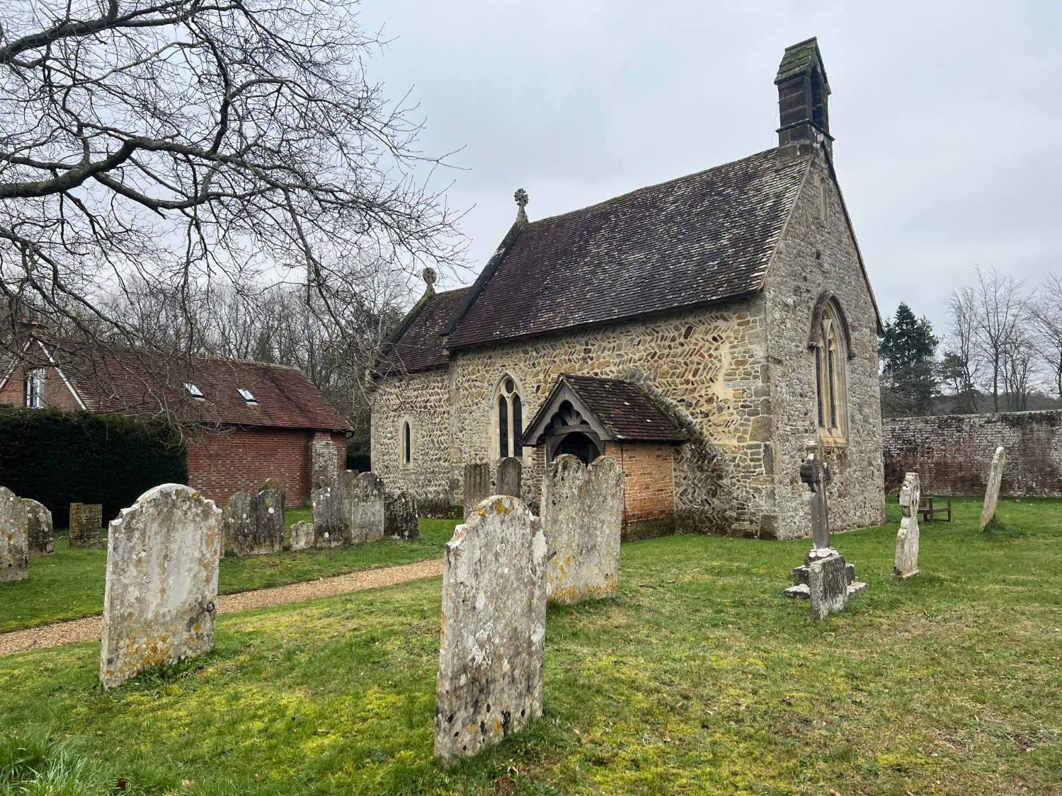
The morning of mid-winter’s day; the air’s damp and near to freezing. The sky is a mix of slate, iron oxide and charcoal black. Riding out of Liphook, the route takes the busy-ish B2070 for a couple of miles, before turning down a small lane which shoots down a 25% hill to Milland. It then continues on gentler slopes to Chithurst, where there is a minute 11th century church. You cannot ride past it without pausing to wrap yourself in its profound, thick-walled silence. Built on a mound, which is probably a pagan burial site, it is a contemplative place to be, despite the bone-chilling air inside. Outside, the coffee-brown river Rother writhes under a medieval bridge. Tombstones lean out of thick, wet grass at impossible angles.
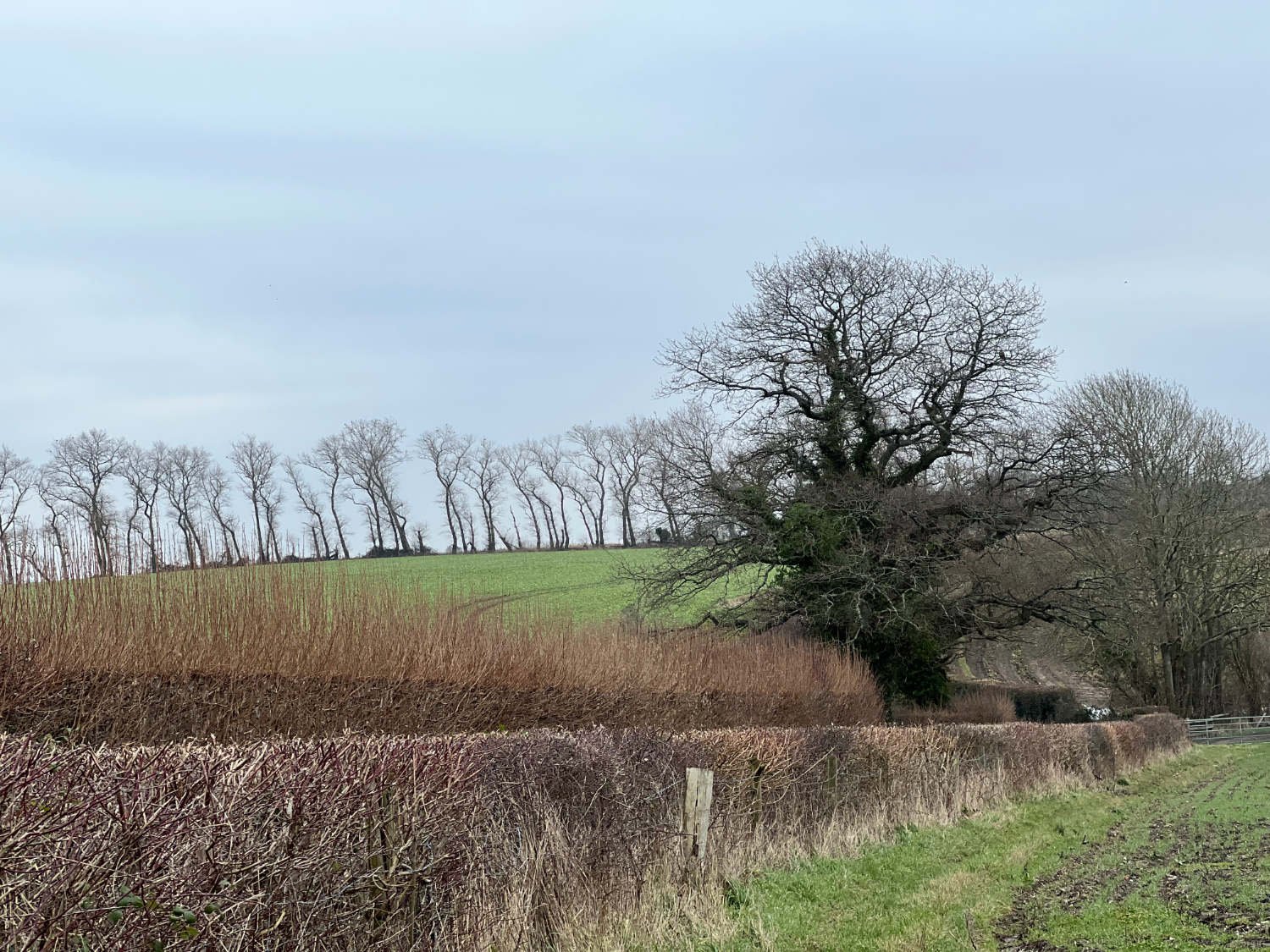
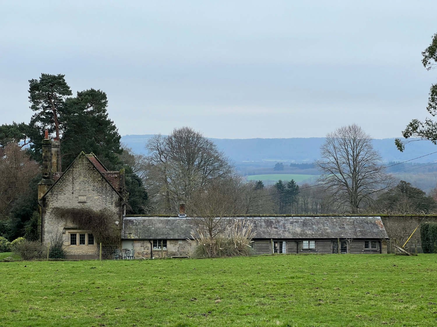
From Trotton, there is a brief 200m spell on the busy A272, before calm is restored on a road which heads straight towards the scarp slope of the South Downs. Just as you’re stealing yourself for a steep mountain ascent, the small lane turns to follow the foot of the slope and you ride along a timeless landscape of downs, fields and thick hedgerows. Chaffinches and great tits flit at great speed through tightly woven hedges and a buzzard, lazy on the wing, may haul itself across a sodden field. If William Cobbett, the great 18th century chronicler of this region was riding alongside you today, he’d remark on how little things had changed.
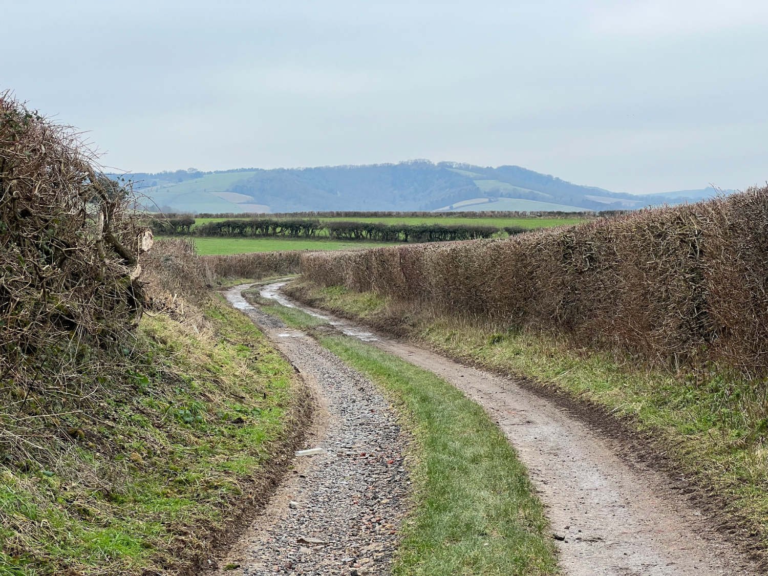
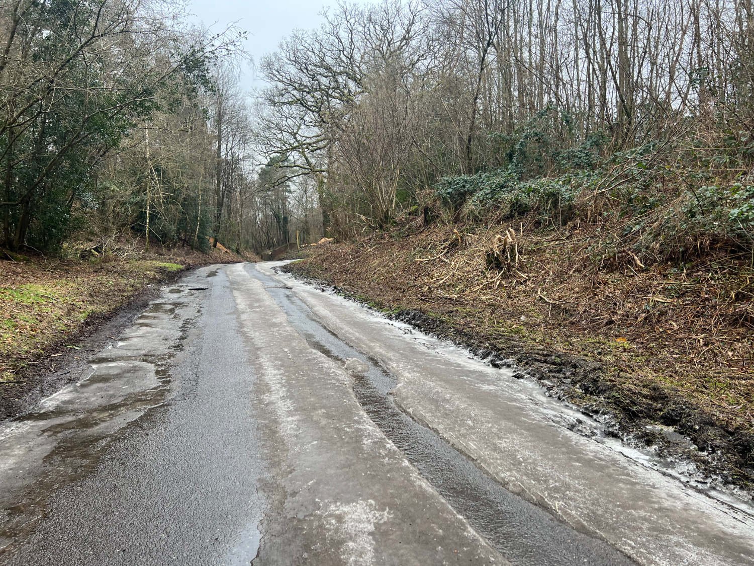
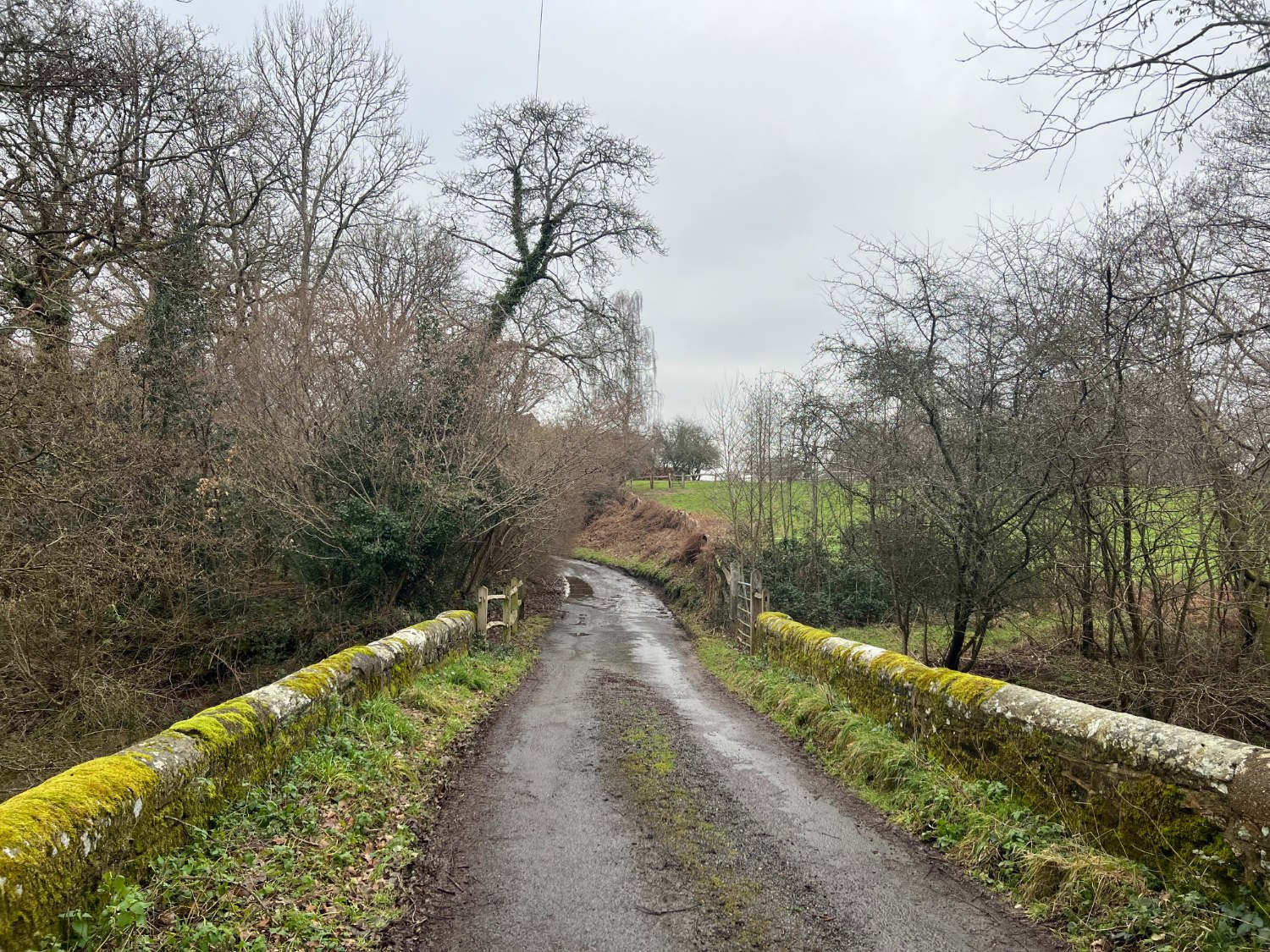
The narrow lanes continue to Hoyle and beyond. In winter, they are thickly muddied and deeply rutted. Streams flow out of flooded fields and sheet the dark mud-road with liquid silver. Sometimes, after a night frost, the lanes can be slow to thaw, but usually the farm vehicles with their wider and thicker tyres have crushed a rideable channel through any frozen puddles.
The South Downs from the same winter route, but in Spring
Cross the A286, ride through Cocking, where snowdrops push through the iron-hard earth in the churchyard, and take a track signed as a ‘public road’, to Selham, where another miniature 11th century church still displays the herringbone stonework of its original builder on the outside walls. Inside, within the stone-damp silence, the Norman carved pillars of the chancel arch and the mythical Saxon beasts are exactly as villagers would have seen a thousand years ago.
Beside the road, the wall which marks the boundary of the Petworth estate, replaces a hedge. Access to the former home of the Dukes of Northumberland is through a small wooden gate near the village of Upperton. In Spring, when the grounds are covered in daffodils, a detour along the permissive tracks of the Park is well worth the extra loop.
Daffodils, Petworth Park
Whatever the season, this is a ride through a treasured vision of rural England. In winter, it is riding at its most atmospheric; the lanes are a tangle of mud, holes and high banks, branches roof the sky, drips hang from trees, pheasants heave themselves into the air, rivers overspill. Low light trims the tops of old oak trees and smoke hangs like wire above the roofs of houses.
It was not always so idyllic. From Roman times until the mid-eighteenth century, the woods of the Sussex Weald were the centre of British iron production. There was iron ore in the ground, a plentiful supply of wood for charcoal fuel, stone and brick for the buildings and the many fast rivers and streams ensured water power for the bellows and hammers of the forges and furnaces. As you ride, you may notice the names of lanes and woods, Hammer Lane, Iron Wood and so on.
Lurgashall and the Noah’s Ark Inn on a fine autumn day
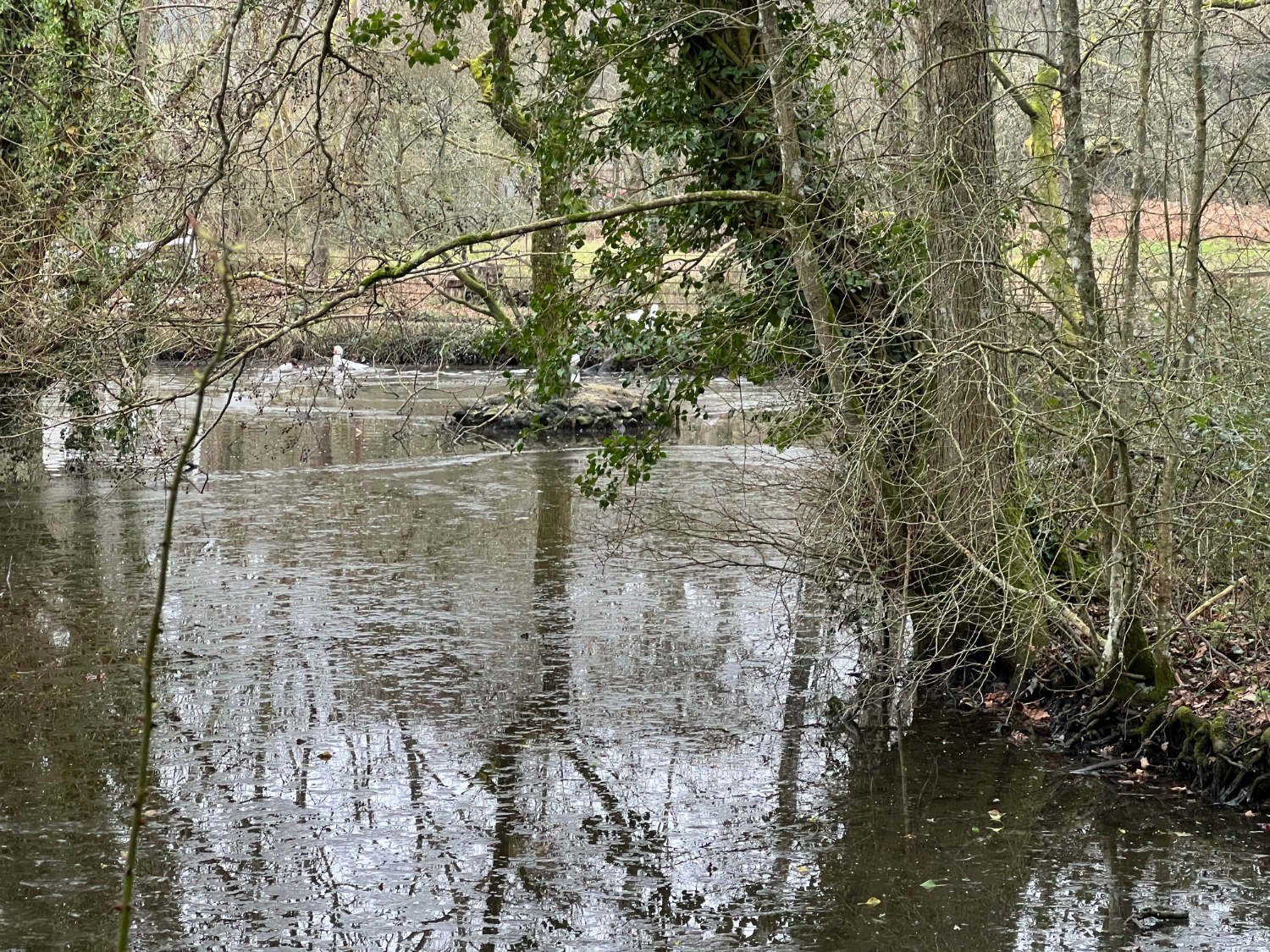
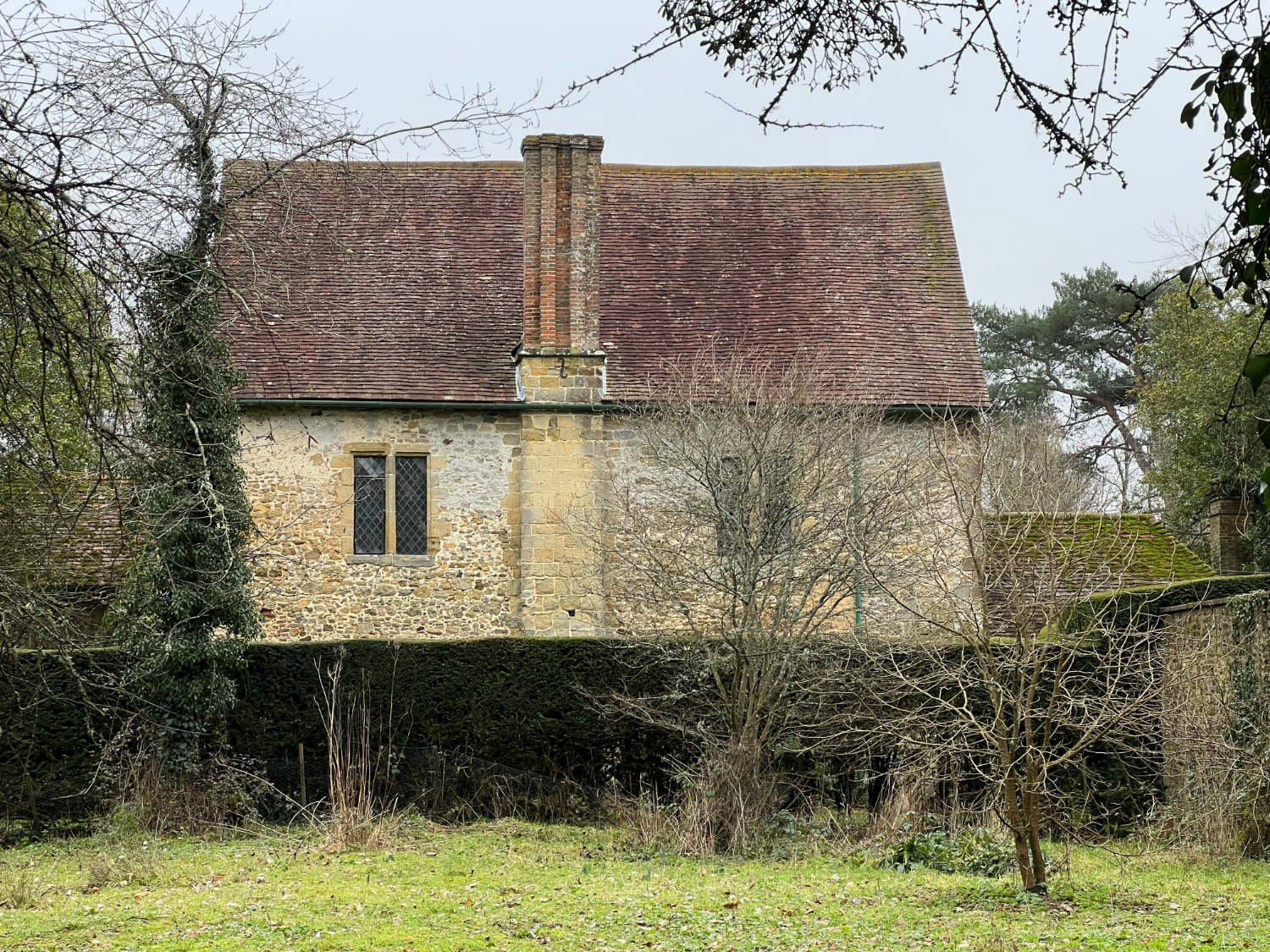
After riding through picture-perfect villages, where roses cling to walls in summer, where homes encircle village greens, where there are excellent pubs to stop at and often a shop, continue up a gently winding hill through woods which in springtime are covered with bluebells. After a few miles you pass Shulbrede, a fragment of an Augustinian Priory, which even on a dank winter's day, is damply romantic. Ironstone walls, that are at least 800 years old, peer above a hedge. In front of it, beside the road, is a pond where ducks are a-dabbling. Rooks rasp in the knobbly old oak trees and a brook gurgles into a pipe running under the road.
The final hill is a bit of a struggle, but it’s short and you can easily walk, especially if you are full from an excellent lunch in one of the many pubs that you have passed. The last couple of miles on the relatively busy B road, returns you back to Liphook.
Every route on this website has been carefully researched as well as ridden. However situations on the ground can change quickly. If you know of changes to this route, or cafes, pubs and the like which you think other cyclists need to know about, feel free to share your thoughts below.
If you enjoyed this guide, why not subscribe to the website so as not to miss other inspirational routes?
wheremywheelsgo.uk is a Feedspot UK Cycling top website


