North Sea Cycle Route - Lerwick to Skaw

Skaw; the end of the North Sea Cycle Trail.
Ride overview
The ferry from Kirkwall docks in dawn light on the northernmost isles of the kingdom. All that remains for you to do is to ride across three islands to where the road runs out. It is one of the best adventures in the UK; the wildest (and windiest) and the most remote. Shetland is more Nordic than British, more Arctic than ‘green and pleasant land’. You are as far from London as it’s possible to get. On this ride there are sheep to talk to, whisky and warm hospitality to indulge in, and if you’re feeling up to it, a celebratory swim at Skaw!
Ride practicalities
There is little signage on the route, other than the odd North Sea Coast Cycle Route signs. That said, it’s pretty hard to lose your way.
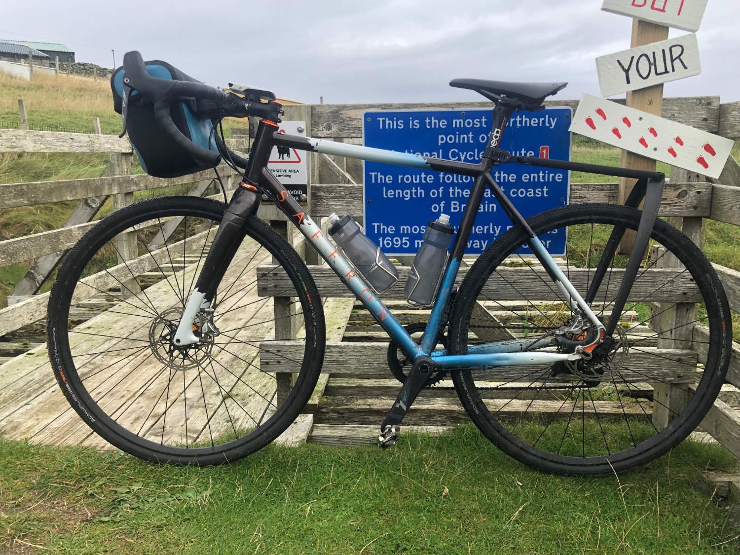
START/FINISH: Lerwick/Skaw DISTANCE: 112km TOTAL ASCENT:600m (est.) TERRAIN AND SURFACES: some busy roads out of Lerwick, queter single-track roads the further north your ride. The best road surfaces in UK RECOMMENDED CAFÈS/PUBS/ACCOMMODATION: The Baltasoud Hotel NEARBY MAINLINE TRAIN SERVICES: There are no trains. Check ferry times here PLACES TO VISIT; Lerwick; Shetland Museum and Archive Haroldswick~The Skidbladner (Viking Ship) LINKS TO OTHER RIDES: NSCR Orkney, NSCR Skaw to Lerwick, Shetland Island rides
Ride notes
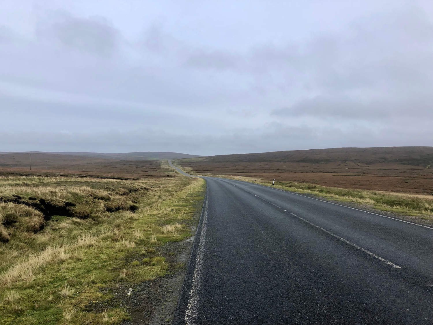
For reasons best known to RWGPS algorithms, the map above has said that there are over 13,000m of climbing on this leg. Allow me to reassure you; there aren’t. In fact Shetland is pretty flat, with gentle rolling hills and nothing to test the legs other the last couple of hills in Skaw at the very end of the ride. In Shetland, the wind is their hill. The roads are the best in the UK, smooth and wide, thanks to the oil money which has poured into the islands.

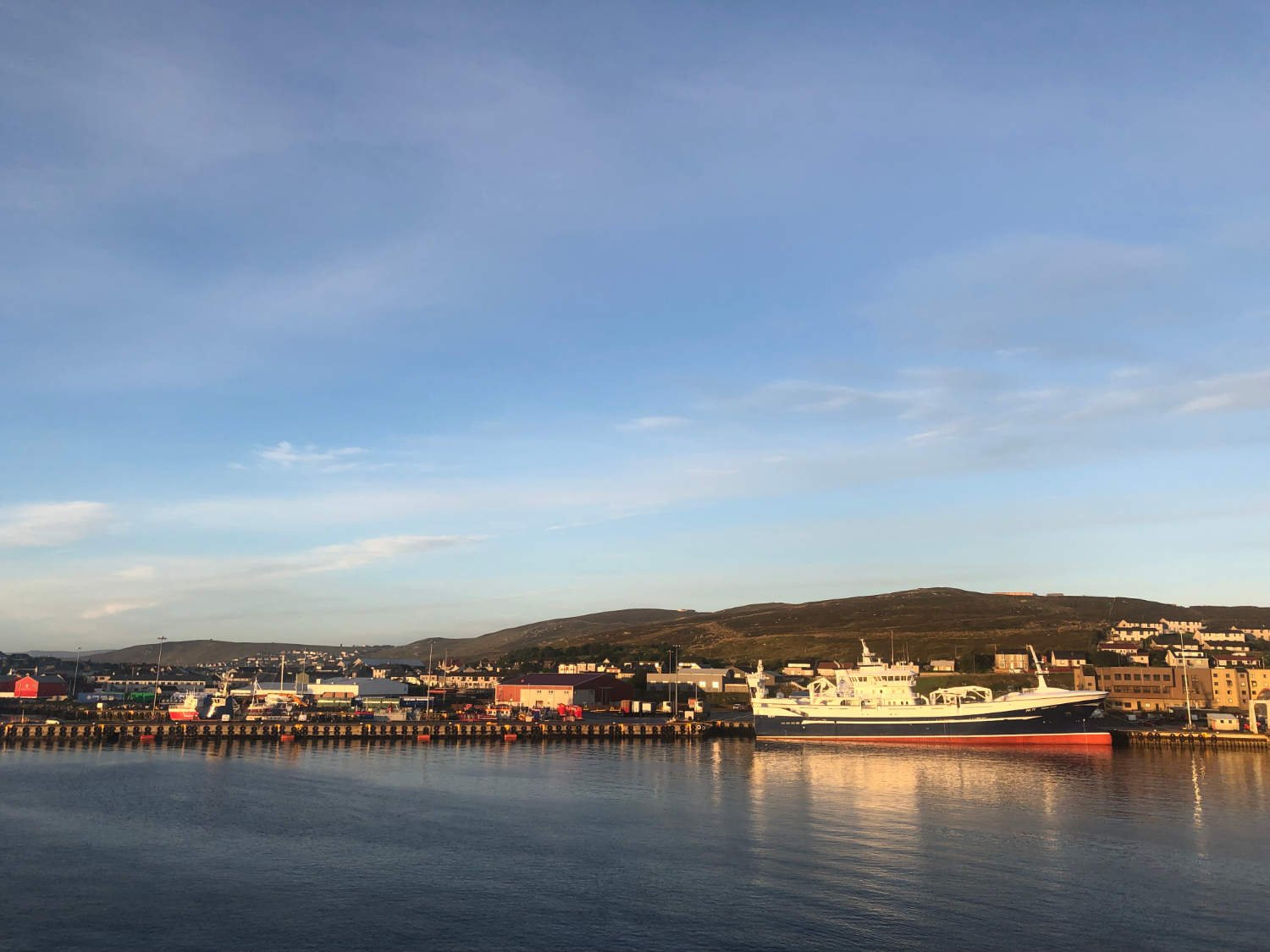
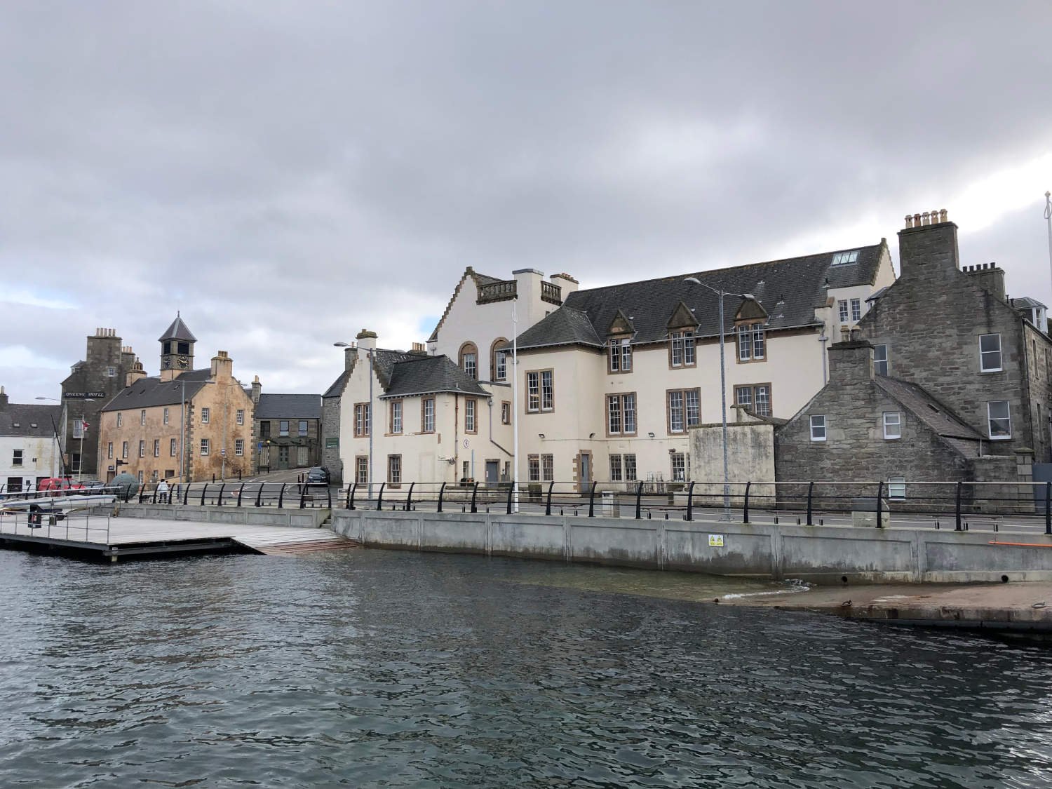
Lerwick
For lovers of the TV series ‘Shetland’, Lerwick will be very familiar to you and you might find it hard to refrain from looking at every male in town in expectation that it might be DI Jimmy Pérez. For those unfamiliar with the series, Lerwick is a lovely town in which to wander, with its alleyways, harbour and excellent local museum. At 60 degrees north, Lerwick is on the same line of latitude as Seward in Alaska, Cape Farewell in Greenland and St Petersburg; and it’s closer to Iceland than to London.
The official North Sea Cycle Route is routed south from Lerwick Sumburgh on the southernmost tip. Whilst, it’s a lovely ride, my suggestion is not to do this now, but head north to the end of the road and return to the southern leg once should you have time before you return home.

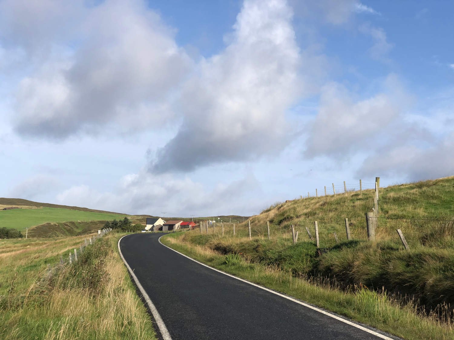
Shetland roads
The roads out of Lerwick are busy, but wide, smooth and generally safe. The traffic quickly diminishes the further away from the town you ride, although there will still be a fair amount of vehicles passing you until you turn off at Catfirth onto the first of many single lane roads.
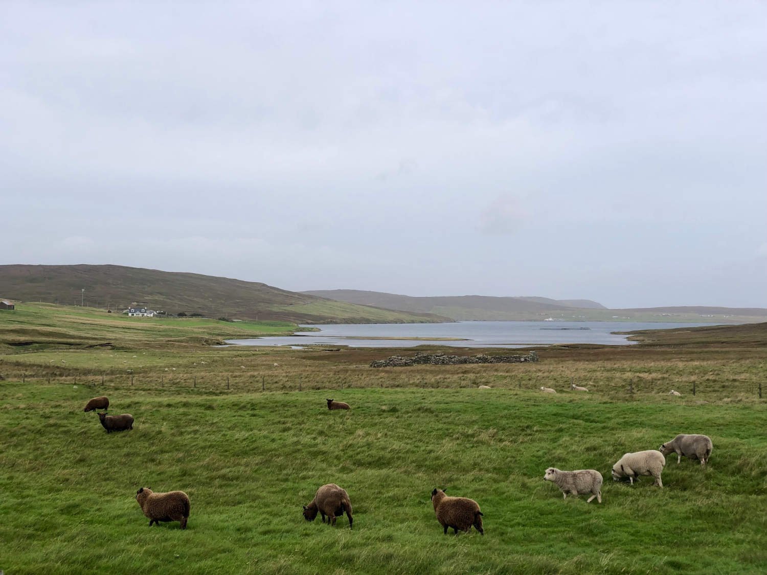
The brown hills of the islands rise and fall around you as you head north. Due to the fjord-like nature of the islands, you ride beside the sea, around bays and then peninsulas. It’s a treeless, wild and windy landscape, with the sea ever present. Around 103 white windmills crowd many hilltops, generating power for over 500,000 homes. As well as wind turbines, you’ll encounter many rabbits, very few pubs and many sheep. There are twelve sheep for each islander, which makes the islands second in the world for sheep to people ratio. In first place are The Falkland Islands who have 242 sheep for every person. Most of the sheep you’ll see are Shetlands, smaller, darker and hardier breed than those down south. They are descended from the Soay sheep brought over by Neolithic farmers 4,500 years ago.

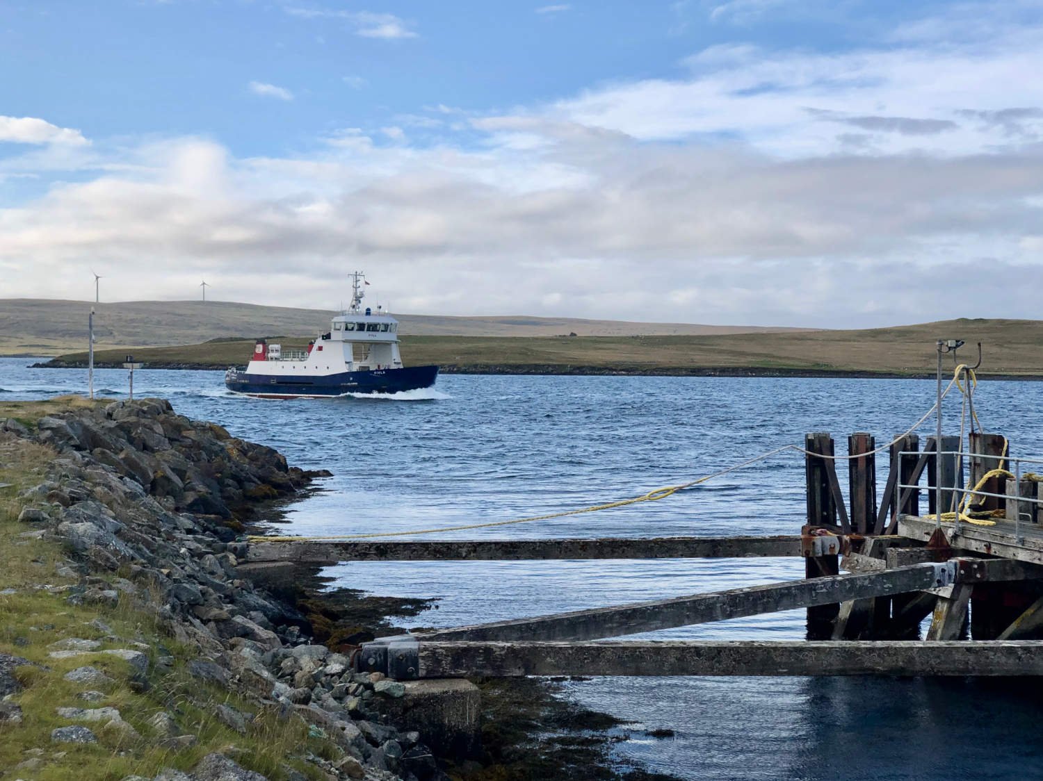
Bike on ferry
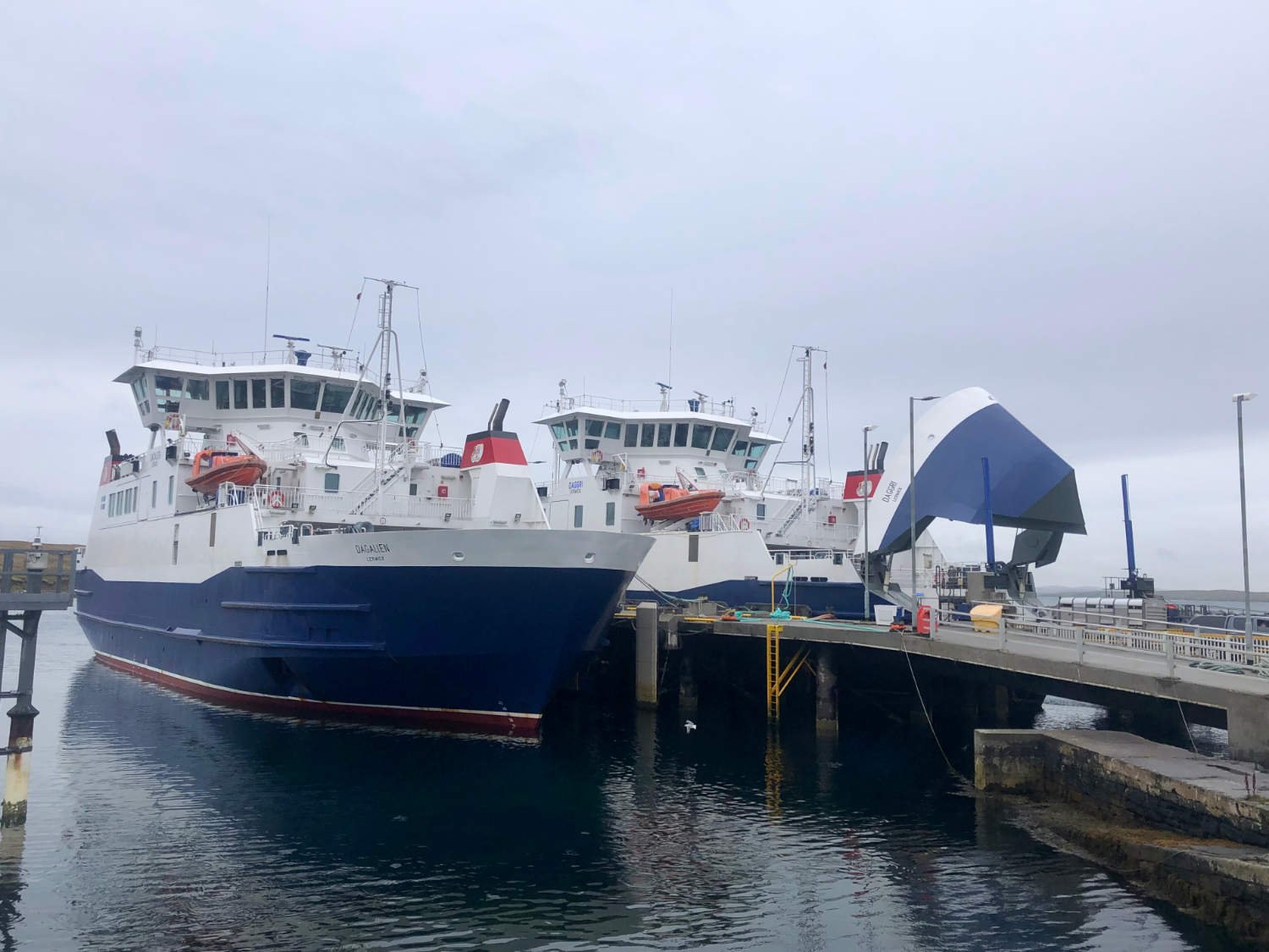
At Toft the ferry takes you across the sound to Yell. You’ll have the pleasure of riding to the front of the queue of vehicles, along with that of not having to pay for your bike’s passage. The ferries are regular and if there’s a wait, there is a cafe which offers both shelter and refreshment.
The ride across Yell is 30 kilometres of brown moor and blue sea. Possibly, driving rain and wind. People are few, and man-made monuments even rarer. At Gutcher there’s another ferry which’ll take you to Unst.

Stevenson's Treasure Island is based on the topography of Unst. (Taken from X, posted by Caroline Malcom-Boulton)
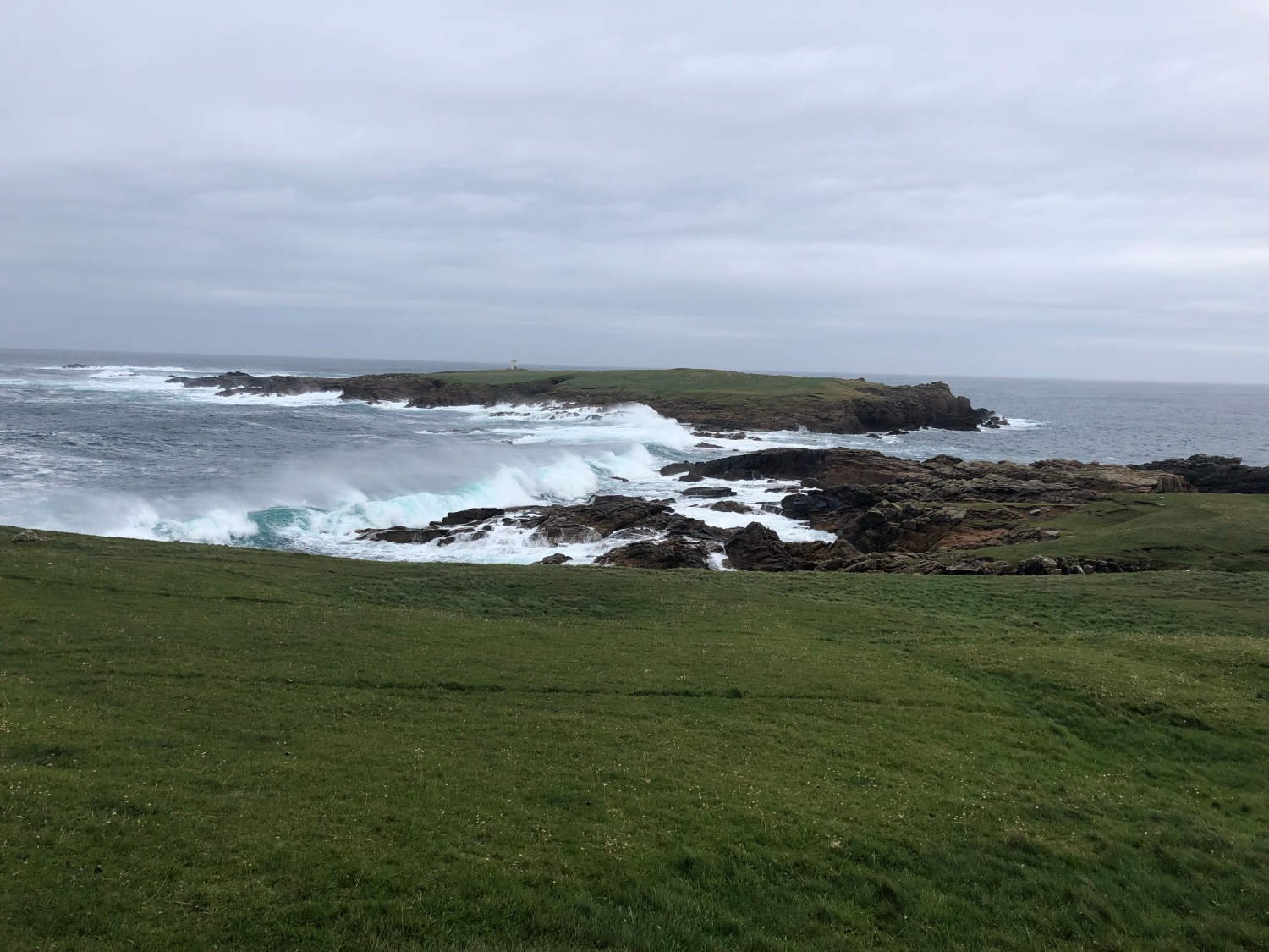
Unst is beyond the beyond. Almost no one lives on the island. You are nearer Norway than London, and only 400 miles south of the Arctic Circle. It’s where in summer there is virtually no night. The island’s shape might be familiar with readers of R.L. Stevenson’s Treasure Island. Whilst visiting Muckle Fuggle Lighthouse built by his brother David, began drafting his novel. Stevenson’s protagonist describes the map of the island as “full of sea dreams and the most charming anticipations of strange islands and adventures”. As true today of Unst as it was for Jim Hawkins looking at the map on the Captain’s sea chest.

The White Wife
Be prepared if you’re riding across the moorland through mist or rain and poor visibility, for out of the gloom will appear the White Wife. She’ll be standing on the brow of a low-rising hill. The young woman, was married to a terrible and abusive man and after years of torment, she took herself off to the Loch of Watlee and drowned herself, leaving her young son behind. Her ghost lives on tormented by the guilt of leaving her son behind.
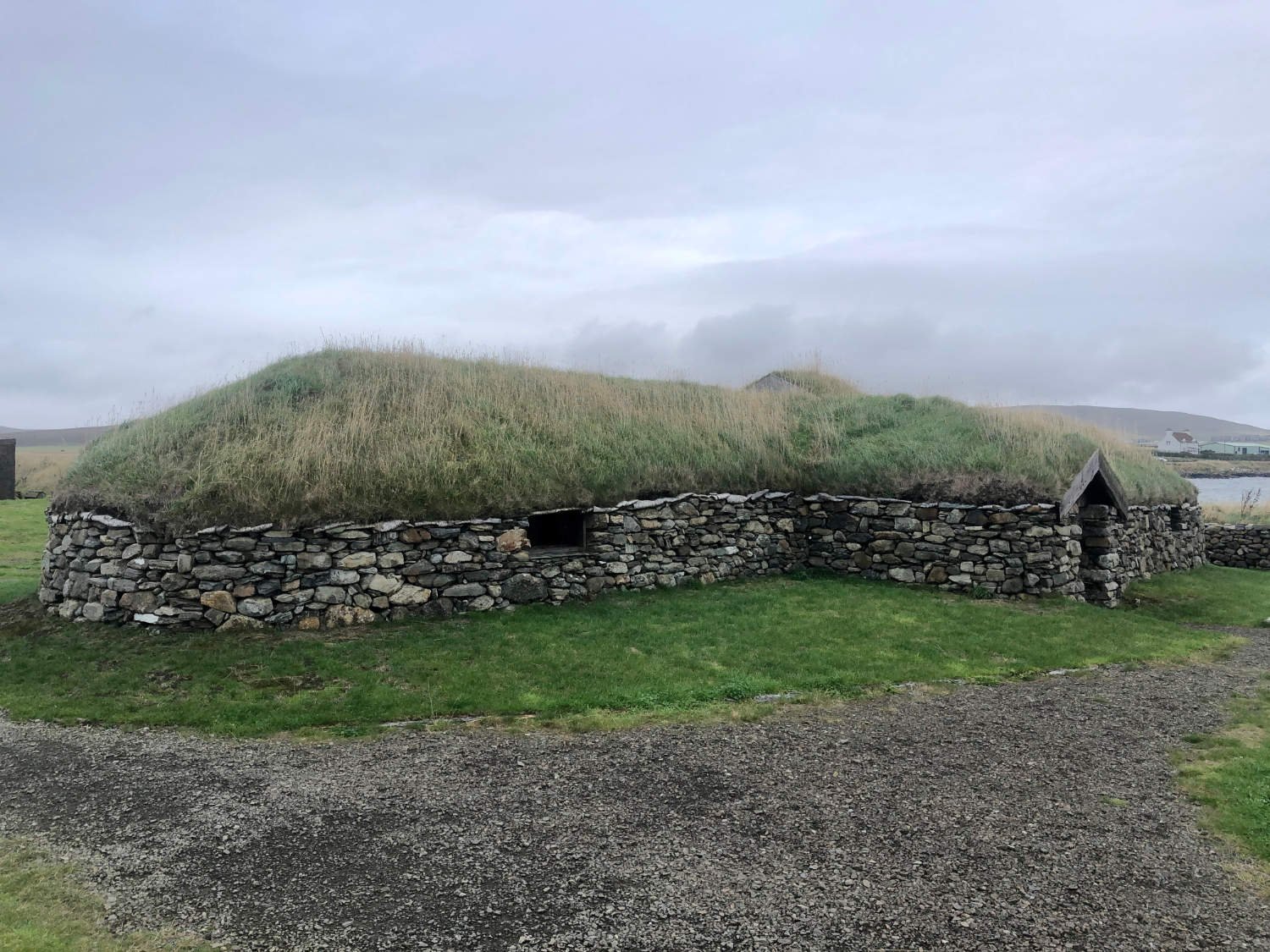
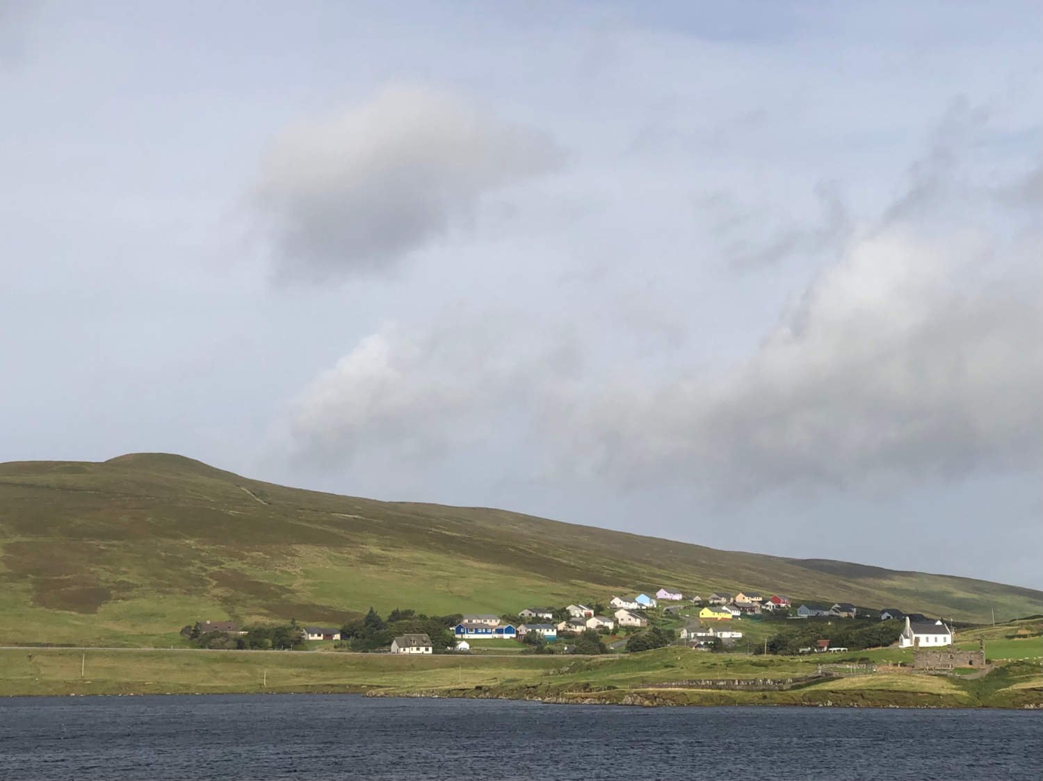
The lonely and barely used road winds its windy way over the moors to Baltasound, the ‘capital’ of Unst. A hundred years ago the scattered village was an important herring town and linked to the powerful trading bloc on the North Sea, The Hanseatic League. Here is Unst’s only hotel, The Baltasound Hotel, where you are most likely to spend tonight, before the long trek back to Lerwick.

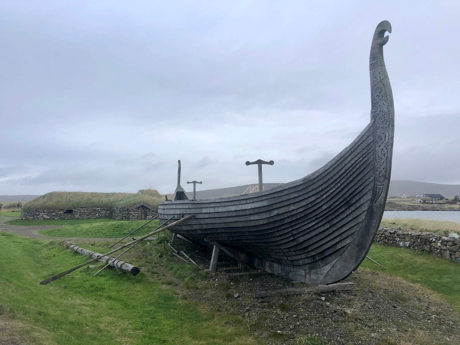
Skidbladner
As you arrive in Haroldswick, you pass a Viking Ship, the Skidbladner, a scale replica of the 9th Century Gokstad ship unearthed in Norway. The ship was built in Sweden with a view to sailing to America in the wake of Viking ancestors. Due to various technical reasons, the ship went no further than Unst.
Everything, you pass now is the ‘most northerly’ in the UK; the Church, the gin distillery, the house, along with the most northerly hill. The two hills which you need to climb over come within 5km of the finish and are possibly the steepest since Yorkshire. They are neither long nor high - nothing on the island exceeds 290m - but with the wind and fatigue, they are taxing. Grind away, for, down there, beside the most northerly house, is the END.

Haroldswick
Freewheel to the small car park. There are no silly signposts here telling you how far away is New York, there are no tacky souvenir stalls, no crowds and families ready to greet you, after your ‘epic’ ride. It’s just you beside a beach in the cold, far north of Scotland. There is nothing further to do than to remove as much clothing as you dare, and stride out into sea for a dip. Bemused seals will be your only audience.
Clothed again, you might walk along the cliffs of Hermaness, so that you can look across a small channel of sea to the lighthouse on the island of Muckle Flugga, Britain's most northerly point.
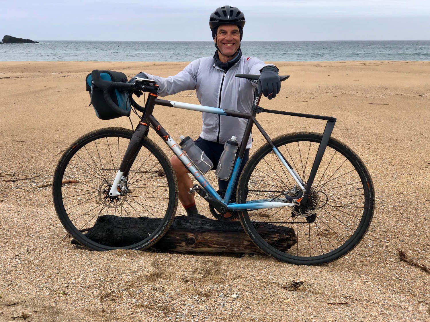
The obligatory end of journey photo, Skaw
All that now remains, is to wend your way back up those two hills for a night at the Baltasound Hotel, before tomorrow’s schlepp back to Lerwick. Settle into the chair beside the fire and raise a glass to your achievement of riding up the longest trail in the UK with a glass of ‘uisge beatha’, the water of life, Scotland’s life-sustaining elixir.
Every route on this website has been carefully researched as well as ridden. However situations on the ground can change quickly. If you know of changes to this route, or cafes, pubs and the like which you think other cyclists need to know about, feel free to share your thoughts below.
If you enjoyed this guide, why not subscribe to the website so as not to miss other inspirational routes?
wheremywheelsgo.uk is a Feedspot UK Cycling top website